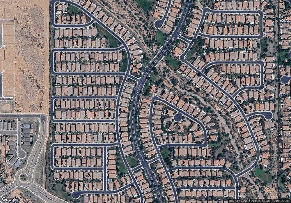
29434 N 132nd Ln Peoria, AZ 85383
Estimated Value: $641,946 - $777,000
--
Bed
--
Bath
2,044
Sq Ft
$355/Sq Ft
Est. Value
About This Home
This home is located at 29434 N 132nd Ln, Peoria, AZ 85383 and is currently estimated at $725,987, approximately $355 per square foot. 29434 N 132nd Ln is a home.
Ownership History
Date
Name
Owned For
Owner Type
Purchase Details
Closed on
Feb 3, 2021
Sold by
Tyler Thomas E and Tyler Sharon S
Bought by
Tyler Thomas E and Tyler Sharon S
Current Estimated Value
Purchase Details
Closed on
Mar 1, 2017
Sold by
Vistancia West Marketing L P
Bought by
Tyler Thomas E and Tyler Sharon S
Home Financials for this Owner
Home Financials are based on the most recent Mortgage that was taken out on this home.
Original Mortgage
$326,400
Outstanding Balance
$267,450
Interest Rate
3.75%
Mortgage Type
Adjustable Rate Mortgage/ARM
Estimated Equity
$458,537
Create a Home Valuation Report for This Property
The Home Valuation Report is an in-depth analysis detailing your home's value as well as a comparison with similar homes in the area
Home Values in the Area
Average Home Value in this Area
Purchase History
| Date | Buyer | Sale Price | Title Company |
|---|---|---|---|
| Tyler Thomas E | -- | None Available | |
| Tyler Thomas E | $424,397 | Security Title Agency | |
| Vistancia West Marketing L P | -- | Security Title Agency |
Source: Public Records
Mortgage History
| Date | Status | Borrower | Loan Amount |
|---|---|---|---|
| Open | Tyler Thomas E | $326,400 |
Source: Public Records
Tax History Compared to Growth
Tax History
| Year | Tax Paid | Tax Assessment Tax Assessment Total Assessment is a certain percentage of the fair market value that is determined by local assessors to be the total taxable value of land and additions on the property. | Land | Improvement |
|---|---|---|---|---|
| 2025 | $3,453 | $36,640 | -- | -- |
| 2024 | $3,507 | $34,895 | -- | -- |
| 2023 | $3,507 | $52,010 | $10,400 | $41,610 |
| 2022 | $3,416 | $41,620 | $8,320 | $33,300 |
| 2021 | $3,578 | $40,950 | $8,190 | $32,760 |
| 2020 | $3,576 | $39,770 | $7,950 | $31,820 |
| 2019 | $3,450 | $37,700 | $7,540 | $30,160 |
| 2018 | $3,328 | $35,670 | $7,130 | $28,540 |
| 2017 | $176 | $2,130 | $2,130 | $0 |
Source: Public Records
Map
Nearby Homes
- 29363 N 132nd Ln
- 13418 W Miner Trail
- 13448 W Miner Trail
- 13453 W Evergreen Terrace
- 13189 W Caleb Rd
- 13120 W Domino Dr
- 29353 N 135th Dr
- 13179 W Steed Ridge Rd
- 29314 N 135th Dr
- The Pinecrest Plan at Haciendas at White Peak - Estates
- The Pomona Plan at Haciendas at White Peak - Estates
- The Darius Plan at Haciendas at White Peak - Estates
- The Deacon Plan at Haciendas at White Peak - Estates
- 29361 N 130th Glen
- The Slate Plan at Haciendas at White Peak - Seasons
- The Tourmaline Plan at Haciendas at White Peak - Seasons
- The Agate Plan at Haciendas at White Peak - Seasons
- The Alexandrite Plan at Haciendas at White Peak - Seasons
- 28881 N 134th Dr
- 13194 W Lone Tree Trail
