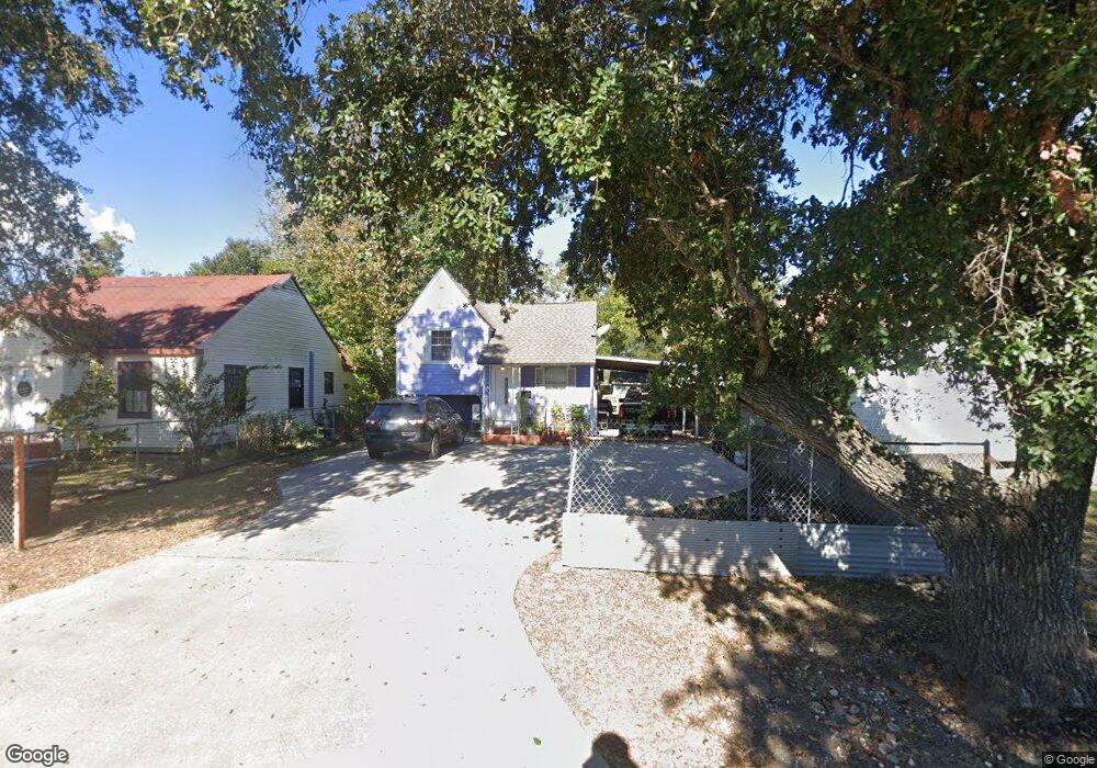
2945 Thomas Blvd Port Arthur, TX 77642
Estimated Value: $53,000 - $80,000
--
Bed
--
Bath
1,144
Sq Ft
$57/Sq Ft
Est. Value
About This Home
This home is located at 2945 Thomas Blvd, Port Arthur, TX 77642 and is currently estimated at $65,417, approximately $57 per square foot. 2945 Thomas Blvd is a home located in Jefferson County with nearby schools including DeQueen Elementary School, Abraham Lincoln Middle School, and Memorial High School.
Ownership History
Date
Name
Owned For
Owner Type
Purchase Details
Closed on
Mar 10, 2016
Sold by
Morales Alberth Ortuno
Bought by
Maldonado Carlos Javier Davalos
Current Estimated Value
Home Financials for this Owner
Home Financials are based on the most recent Mortgage that was taken out on this home.
Original Mortgage
$40,000
Interest Rate
3.65%
Mortgage Type
Seller Take Back
Create a Home Valuation Report for This Property
The Home Valuation Report is an in-depth analysis detailing your home's value as well as a comparison with similar homes in the area
Home Values in the Area
Average Home Value in this Area
Purchase History
| Date | Buyer | Sale Price | Title Company |
|---|---|---|---|
| Maldonado Carlos Javier Davalos | -- | None Available |
Source: Public Records
Mortgage History
| Date | Status | Borrower | Loan Amount |
|---|---|---|---|
| Closed | Maldonado Carlos Javier Davalos | $40,000 |
Source: Public Records
Tax History Compared to Growth
Tax History
| Year | Tax Paid | Tax Assessment Tax Assessment Total Assessment is a certain percentage of the fair market value that is determined by local assessors to be the total taxable value of land and additions on the property. | Land | Improvement |
|---|---|---|---|---|
| 2025 | $1,812 | $62,760 | $7,250 | $55,510 |
| 2024 | $1,812 | $63,272 | $2,475 | $60,797 |
| 2023 | $1,812 | $59,144 | $990 | $58,154 |
| 2022 | $1,710 | $53,857 | $990 | $52,867 |
| 2021 | $1,738 | $52,430 | $990 | $51,440 |
| 2020 | $904 | $32,028 | $990 | $31,038 |
| 2019 | $823 | $27,890 | $990 | $26,900 |
| 2018 | $823 | $25,820 | $990 | $24,830 |
| 2017 | $800 | $25,820 | $990 | $24,830 |
| 2016 | $540 | $18,440 | $990 | $17,450 |
| 2015 | $501 | $17,600 | $990 | $16,610 |
| 2014 | $501 | $16,790 | $990 | $15,800 |
Source: Public Records
Map
Nearby Homes
- 2726 13th St
- 3123 13th St
- 3118 14th St
- 3025 9th St
- 2610 15th St
- 1235 Dequeen Blvd
- 1348 Dequeen Blvd
- 527 Dequeen Blvd
- 2401 Thomas Blvd
- 2736 Thomas Blvd
- 3326 Thomas Blvd
- 1457 Saint Augustine Ave
- 3129 7th St
- 3300 9th St
- 3132 18th St
- 530 El Paso Ave
- 3137 18th St
- 3216 6th St
- 2036 12th St
- 2217 Rev Dr Ransom Howard St
- 2937 Thomas Blvd
- 2949 Thomas Blvd
- 2944 12th St
- 2925 Thomas Blvd
- 2936 12th St
- 2948 12th St
- 3001 Thomas Blvd
- 2930 12th St
- 2921 Thomas Blvd
- 3009 Thomas Blvd
- 3000 12th St
- 2920 12th St
- 2913 Thomas Blvd
- 3015 Thomas Blvd
- 2912 12th St
- 3014 12th St
- 1200 Woodworth Blvd
- 2920 Thomas Blvd
- 2943 12th St
- 3018 12th St