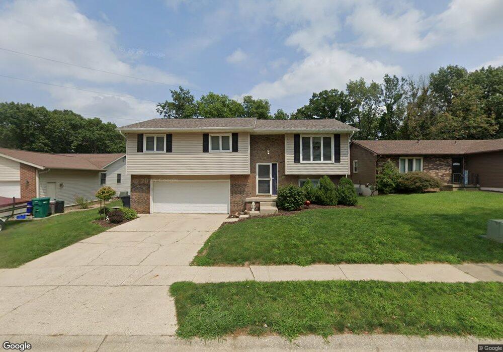
2946 N Primrose Ln Decatur, IL 62526
Highland Place NeighborhoodEstimated Value: $149,559 - $173,000
3
Beds
2
Baths
2,007
Sq Ft
$81/Sq Ft
Est. Value
About This Home
This home is located at 2946 N Primrose Ln, Decatur, IL 62526 and is currently estimated at $161,640, approximately $80 per square foot. 2946 N Primrose Ln is a home located in Macon County with nearby schools including Stephen Decatur Middle School, Our Lady of Lourdes School, and Antioch Christian Academy.
Ownership History
Date
Name
Owned For
Owner Type
Purchase Details
Closed on
Mar 6, 2023
Sold by
Briscoe Danny E
Bought by
Dolly Kendal Kae
Current Estimated Value
Purchase Details
Closed on
Mar 14, 2014
Sold by
Dolly Kendall K
Bought by
Briscoe Kendall K and Briscoe Danny E
Purchase Details
Closed on
Jan 13, 2009
Sold by
Brisone Jacob J and Brisone Rebecca L
Bought by
Dolly Kendall K
Home Financials for this Owner
Home Financials are based on the most recent Mortgage that was taken out on this home.
Original Mortgage
$1,142,114
Interest Rate
5.53%
Mortgage Type
FHA
Purchase Details
Closed on
Apr 1, 2004
Create a Home Valuation Report for This Property
The Home Valuation Report is an in-depth analysis detailing your home's value as well as a comparison with similar homes in the area
Home Values in the Area
Average Home Value in this Area
Purchase History
| Date | Buyer | Sale Price | Title Company |
|---|---|---|---|
| Dolly Kendal Kae | -- | -- | |
| Briscoe Kendall K | -- | None Available | |
| Dolly Kendall K | $115,000 | None Available | |
| -- | $103,500 | -- |
Source: Public Records
Mortgage History
| Date | Status | Borrower | Loan Amount |
|---|---|---|---|
| Previous Owner | Dolly Kendall K | $1,142,114 |
Source: Public Records
Tax History Compared to Growth
Tax History
| Year | Tax Paid | Tax Assessment Tax Assessment Total Assessment is a certain percentage of the fair market value that is determined by local assessors to be the total taxable value of land and additions on the property. | Land | Improvement |
|---|---|---|---|---|
| 2024 | $3,499 | $42,143 | $6,281 | $35,862 |
| 2023 | $3,449 | $40,651 | $6,059 | $34,592 |
| 2022 | $3,234 | $37,617 | $5,607 | $32,010 |
| 2021 | $2,997 | $35,130 | $5,236 | $29,894 |
| 2020 | $2,924 | $33,499 | $4,993 | $28,506 |
| 2019 | $2,924 | $33,499 | $4,993 | $28,506 |
| 2018 | $2,704 | $31,734 | $4,753 | $26,981 |
| 2017 | $2,784 | $32,581 | $4,880 | $27,701 |
| 2016 | $2,844 | $32,914 | $4,930 | $27,984 |
| 2015 | $2,692 | $32,332 | $4,843 | $27,489 |
| 2014 | $2,494 | $32,012 | $4,795 | $27,217 |
| 2013 | $2,598 | $33,214 | $4,975 | $28,239 |
Source: Public Records
Map
Nearby Homes
- 2848 N Primrose Ln
- 1487 W Glenn Dr
- 1302 W Pershing Rd
- 3235 N Susan Dr
- 1607 W Melrose Ct
- 2273 N Fairview Ave
- 3333 N University Ave
- 3321 N Oakland Ave
- 1720 W Ravina Park Rd
- 2404 N Longwood Dr
- 2281 N Summit Ave
- 2127 Riedel Ave
- 2320 N Kenwood Ct
- 1929 W Ravina Park Rd
- 2094 N Dennis Ave
- 2222 Sands Dr
- 2131 N Oakcrest Ct
- 1474 Meadowview Dr
- 1110 Woodridge Ct
- 2124 Home Park Ave
- 2936 N Primrose Ln
- 2950 N Primrose Ln
- 2956 N Primrose Ln
- 2926 N Primrose Ln
- 2945 N Primrose Ln
- 2890 N Primrose Ln
- 2935 N Primrose Ln
- 2965 N Primrose Ln
- 2966 N Primrose Ln
- 2975 N Primrose Ln
- 2901 N Primrose Ln
- 2855 N Vine St
- 1457 W Pershing Rd
- 2986 N Primrose Ln
- 2880 N Primrose Ct
- 2985 N Primrose Ln
- 1396 W Oak Park Dr
- 4397 N Taylor Ave
- 2835 N Vine St
- 2995 N Primrose Ln