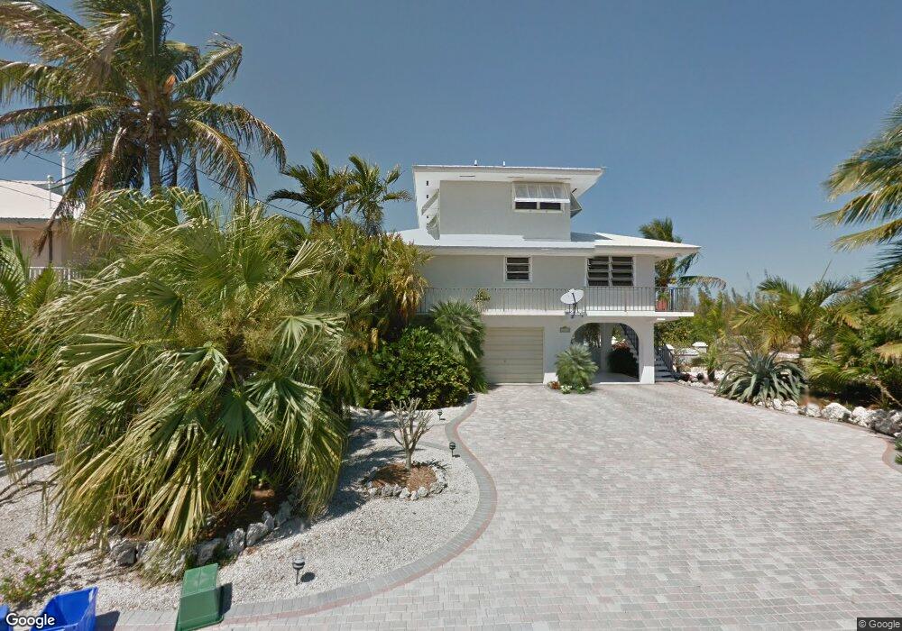
29465 Forrestal Ave Big Pine Key, FL 33043
Estimated Value: $1,221,548 - $1,671,000
3
Beds
1
Bath
2,139
Sq Ft
$658/Sq Ft
Est. Value
About This Home
This home is located at 29465 Forrestal Ave, Big Pine Key, FL 33043 and is currently estimated at $1,406,637, approximately $657 per square foot. 29465 Forrestal Ave is a home with nearby schools including Sugarloaf School, Marathon Middle High School, and Key West High School.
Ownership History
Date
Name
Owned For
Owner Type
Purchase Details
Closed on
Dec 30, 2016
Sold by
Crockett John J and Crockett Helen E
Bought by
Muir James R and Muir Patricia A
Current Estimated Value
Home Financials for this Owner
Home Financials are based on the most recent Mortgage that was taken out on this home.
Original Mortgage
$420,000
Outstanding Balance
$341,737
Interest Rate
3.94%
Mortgage Type
VA
Estimated Equity
$1,064,900
Purchase Details
Closed on
Sep 1, 1986
Bought by
Crockett John J and Crockett Helen E
Create a Home Valuation Report for This Property
The Home Valuation Report is an in-depth analysis detailing your home's value as well as a comparison with similar homes in the area
Home Values in the Area
Average Home Value in this Area
Purchase History
| Date | Buyer | Sale Price | Title Company |
|---|---|---|---|
| Muir James R | $650,000 | True Title Agency Inc | |
| Crockett John J | $28,000 | -- |
Source: Public Records
Mortgage History
| Date | Status | Borrower | Loan Amount |
|---|---|---|---|
| Open | Muir James R | $420,000 |
Source: Public Records
Tax History
| Year | Tax Paid | Tax Assessment Tax Assessment Total Assessment is a certain percentage of the fair market value that is determined by local assessors to be the total taxable value of land and additions on the property. | Land | Improvement |
|---|---|---|---|---|
| 2025 | $4,308 | $501,722 | -- | -- |
| 2024 | $4,112 | $487,583 | -- | -- |
| 2023 | $4,112 | $473,382 | $0 | $0 |
| 2022 | $4,018 | $462,203 | $0 | $0 |
| 2021 | $4,132 | $448,741 | $0 | $0 |
| 2020 | $4,109 | $442,546 | $0 | $0 |
| 2019 | $3,405 | $365,262 | $0 | $0 |
| 2018 | $4,092 | $428,782 | $0 | $0 |
| 2017 | $3,971 | $419,962 | $0 | $0 |
| 2016 | $2,915 | $300,323 | $0 | $0 |
| 2015 | $3,001 | $298,235 | $0 | $0 |
| 2014 | $3,093 | $295,868 | $0 | $0 |
Source: Public Records
Map
Nearby Homes
- 29549 Forrestal Ave
- 29544 Independence Ave
- 29559 Ranger Ave
- 29558 Ranger Ave
- 29662 Independence Ave
- 0 Bk 4 Lt 9 Pine Crest Rd Unit 618082
- 29523 Enterprise Ave
- 29678 Enterprise Ave
- 29678 Constitution Ave
- 29850 Journeys End Rd
- 29859 Overseas Hwy Unit A-3
- 29859 Overseas Hwy Unit LOT 15
- 29859 Overseas Hwy Unit 37
- 29859 Overseas Hwy Unit A6
- 29859 Overseas Hwy Unit 23
- 29859 Overseas Hwy Unit A-19
- 74 Pelican Ln
- 231 Pelican Ln
- 29951 Pine Channel Rd
- 175 E Cahill Ct
- 29457 Forrestal Ave
- 0 Forrestal Ave Unit 558035
- 0 Forrestal Ave Unit 546674
- 0 Forrestal Ave Unit 546673
- 0 Forrestal Ave Unit 546672
- 0 Forrestal Ave Unit 519609
- 0 Forrestal Ave Unit 411673
- 0 Forrestal Ave Unit lt 2 542608
- 0 Forrestal Ave Unit Lt 11 542609
- 0 Forrestal Ave Unit Lt 1 542607
- VACANT CAN Forrestal Ave
- VACANT CAN Forrestal Ave
- 8 Forrestal Ave
- LOT 8 Forrestal Ave
- LOT 9 Forrestal Ave
- 29675 Forrestal Ave
- 0 Forrestal Ave
- VACANT Forrestal Ave
- 29464 Forrestal Ave
- 29449 Forrestal Ave
Your Personal Tour Guide
Ask me questions while you tour the home.