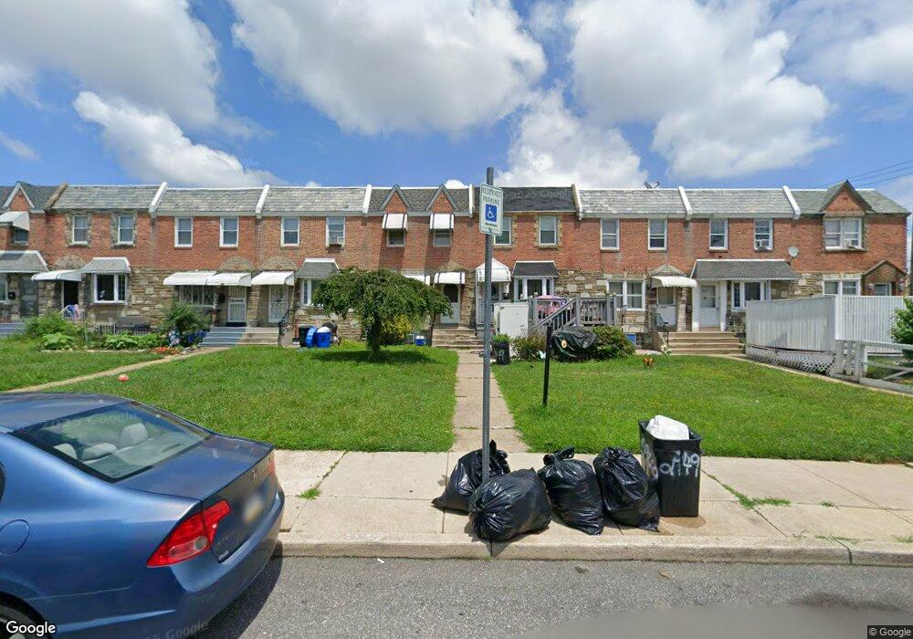
2947 Hellerman St Philadelphia, PA 19149
Mayfair NeighborhoodEstimated Value: $226,975 - $253,000
3
Beds
1
Bath
1,170
Sq Ft
$208/Sq Ft
Est. Value
About This Home
This home is located at 2947 Hellerman St, Philadelphia, PA 19149 and is currently estimated at $242,994, approximately $207 per square foot. 2947 Hellerman St is a home located in Philadelphia County with nearby schools including Lincoln High School, Ethan Allen School, and Blessed Trinity Regional Catholic School.
Ownership History
Date
Name
Owned For
Owner Type
Purchase Details
Closed on
Sep 29, 2003
Sold by
Dougherty Anne C
Bought by
Austin Jeanne L
Current Estimated Value
Home Financials for this Owner
Home Financials are based on the most recent Mortgage that was taken out on this home.
Original Mortgage
$86,500
Outstanding Balance
$39,281
Interest Rate
6.05%
Mortgage Type
Purchase Money Mortgage
Estimated Equity
$203,713
Create a Home Valuation Report for This Property
The Home Valuation Report is an in-depth analysis detailing your home's value as well as a comparison with similar homes in the area
Home Values in the Area
Average Home Value in this Area
Purchase History
| Date | Buyer | Sale Price | Title Company |
|---|---|---|---|
| Austin Jeanne L | $86,500 | -- |
Source: Public Records
Mortgage History
| Date | Status | Borrower | Loan Amount |
|---|---|---|---|
| Open | Austin Jeanne L | $86,500 |
Source: Public Records
Tax History
| Year | Tax Paid | Tax Assessment Tax Assessment Total Assessment is a certain percentage of the fair market value that is determined by local assessors to be the total taxable value of land and additions on the property. | Land | Improvement |
|---|---|---|---|---|
| 2026 | $2,776 | $239,900 | $47,980 | $191,920 |
| 2025 | $2,776 | $239,900 | $47,980 | $191,920 |
| 2024 | $2,776 | $239,900 | $47,980 | $191,920 |
| 2023 | $2,776 | $198,300 | $39,660 | $158,640 |
| 2022 | $2,105 | $198,300 | $39,660 | $158,640 |
| 2021 | $2,105 | $0 | $0 | $0 |
| 2020 | $2,105 | $0 | $0 | $0 |
| 2019 | $2,020 | $0 | $0 | $0 |
| 2018 | $1,796 | $0 | $0 | $0 |
| 2017 | $1,796 | $0 | $0 | $0 |
| 2016 | $1,796 | $0 | $0 | $0 |
| 2015 | $1,719 | $0 | $0 | $0 |
| 2014 | -- | $128,300 | $29,498 | $98,802 |
| 2012 | -- | $16,864 | $2,053 | $14,811 |
Source: Public Records
Map
Nearby Homes
- 3024 Gilham St
- 3013 Gilham St
- 2818 Hellerman St
- 2933 Robbins Ave
- 6333 Mershon St
- 3051 Gilham St
- 2919 Robbins St
- 6345 Cardiff St
- 3123 Levick St
- 2915 Hale St
- 3141 Levick St
- 2840 Fanshawe St
- 2803 Magee Ave
- 3129 Magee Ave
- 3152 Magee Ave
- 3005 Devereaux Ave
- 6241 Frankford Ave
- 6239 Frankford Ave
- 2940 Devereaux Ave
- 6207 Cardiff St
- 2945 Hellerman St
- 2949 Hellerman St
- 2943 Hellerman St
- 2951 Hellerman St
- 2941 Hellerman St
- 2953 Hellerman St
- 2939 Hellerman St
- 2955 Hellerman St
- 2937 Hellerman St
- 6520 Battersby St
- 6522 Battersby St
- 2935 Hellerman St
- 2933 Hellerman St
- 2944 Gilham St
- 2946 Gilham St
- 2931 Hellerman St
- 2948 Gilham St
- 2942 Gilham St
- 2950 Gilham St
- 2940 Gilham St
Your Personal Tour Guide
Ask me questions while you tour the home.