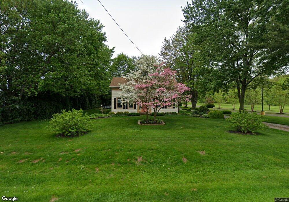
2948 Burns Rd Madison, OH 44057
Estimated Value: $214,237 - $743,000
3
Beds
2
Baths
1,368
Sq Ft
$258/Sq Ft
Est. Value
About This Home
This home is located at 2948 Burns Rd, Madison, OH 44057 and is currently estimated at $353,559, approximately $258 per square foot. 2948 Burns Rd is a home located in Lake County with nearby schools including South Elementary School, Madison Middle School, and Madison High School.
Ownership History
Date
Name
Owned For
Owner Type
Purchase Details
Closed on
Sep 25, 2019
Sold by
Wilde Patrick A and Scipione Elizabeth A
Bought by
Balog Caroline M
Current Estimated Value
Purchase Details
Closed on
Feb 14, 2003
Sold by
Balog Joseph F and Balog Caroline M
Bought by
Balog Joseph E and Balog Caroline M
Purchase Details
Closed on
Jul 24, 2001
Sold by
Balog Joseph F
Bought by
Balog Joseph F and Balog Caroline M
Create a Home Valuation Report for This Property
The Home Valuation Report is an in-depth analysis detailing your home's value as well as a comparison with similar homes in the area
Home Values in the Area
Average Home Value in this Area
Purchase History
| Date | Buyer | Sale Price | Title Company |
|---|---|---|---|
| Balog Caroline M | -- | None Available | |
| Balog Joseph E | -- | -- | |
| Balog Joseph F | -- | Bates Title Agency |
Source: Public Records
Tax History Compared to Growth
Tax History
| Year | Tax Paid | Tax Assessment Tax Assessment Total Assessment is a certain percentage of the fair market value that is determined by local assessors to be the total taxable value of land and additions on the property. | Land | Improvement |
|---|---|---|---|---|
| 2024 | -- | $74,830 | $16,450 | $58,380 |
| 2023 | $5,736 | $51,610 | $12,860 | $38,750 |
| 2022 | $2,640 | $51,610 | $12,860 | $38,750 |
| 2021 | $2,645 | $51,610 | $12,860 | $38,750 |
| 2020 | $2,500 | $44,480 | $11,080 | $33,400 |
| 2019 | $2,502 | $44,480 | $11,080 | $33,400 |
| 2018 | $2,419 | $39,660 | $12,530 | $27,130 |
| 2017 | $2,160 | $39,660 | $12,530 | $27,130 |
| 2016 | $1,962 | $39,660 | $12,530 | $27,130 |
| 2015 | $1,853 | $39,660 | $12,530 | $27,130 |
| 2014 | $1,895 | $39,660 | $12,530 | $27,130 |
| 2013 | $1,899 | $39,660 | $12,530 | $27,130 |
Source: Public Records
Map
Nearby Homes
- 1087 W Mallard Dr Unit C29
- 0 N Ridge (Us Rt 20) Rd Unit 4151016
- 12 Square Circle Dr
- 2656 Lake Breeze Dr
- 0 Norwood Dr Unit 5101897
- 5734 Middle Ridge Rd
- 5742 Abiding Way
- 5470 N Ridge Rd
- 0 Mcmackin Rd Unit 5102732
- 11 Hawaiian Dr
- 24 Hawaiian Dr
- 249 W Main St
- 6073 Chapel Rd
- 53 S Lake St
- 6835 Shelly Dr
- 5930 Keith Dr
- 6046 Dundee St
- 116 Huntington Woods Dr
- V/L Townline Rd
- 321 Parkway Blvd
- 3027 Burns Rd
- 3009 Burns Rd
- 2944 Burns Rd
- 2975 Burns Rd
- 2940 Burns Rd
- 2933 Burns Rd
- 3057 Burns Rd
- 2926 Burns Rd
- 3077 Burns Rd
- 2907 Burns Rd
- 6111 Pineview Dr
- 6113 Pineview Dr Unit 6113
- 6117 Pineview Dr Unit 6117
- 6119 Pineview Dr
- 6121 Pineview Dr
- 2914 Burns Rd
- 6123 Pineview Dr Unit 36123
- 2885 Burns Rd
- 2892 Burns Rd
- 3035 Princeton St