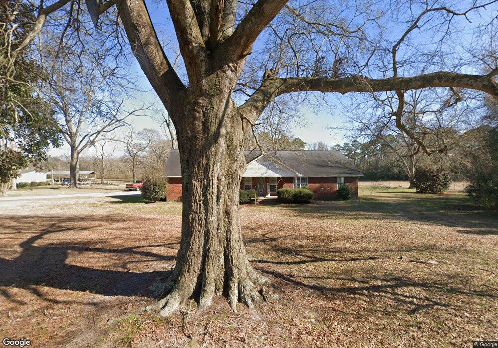
2948 Jennie Station Rd Claxton, GA 30417
Estimated Value: $333,000 - $601,000
3
Beds
2
Baths
2,418
Sq Ft
$182/Sq Ft
Est. Value
About This Home
This home is located at 2948 Jennie Station Rd, Claxton, GA 30417 and is currently estimated at $439,337, approximately $181 per square foot. 2948 Jennie Station Rd is a home located in Evans County with nearby schools including Claxton Elementary School, Second Chance, and Claxton Middle School.
Ownership History
Date
Name
Owned For
Owner Type
Purchase Details
Closed on
May 22, 2020
Sold by
Tippins Bank
Bought by
Todd Nathan C and Todd Amanda S
Current Estimated Value
Purchase Details
Closed on
Jul 30, 2019
Sold by
Todd Ronnie Joe
Bought by
Todd Nathan and Todd Amanda
Purchase Details
Closed on
Apr 10, 2019
Sold by
Todd Ronnie Joe
Bought by
Todd Nathan
Purchase Details
Closed on
May 5, 1988
Sold by
Willingham Judith C
Bought by
Todd Ronnie Joe
Create a Home Valuation Report for This Property
The Home Valuation Report is an in-depth analysis detailing your home's value as well as a comparison with similar homes in the area
Home Values in the Area
Average Home Value in this Area
Purchase History
| Date | Buyer | Sale Price | Title Company |
|---|---|---|---|
| Todd Nathan C | -- | -- | |
| Todd Nathan | -- | -- | |
| Todd Nathan | -- | -- | |
| Todd Ronnie Joe | $33,200 | -- |
Source: Public Records
Tax History Compared to Growth
Tax History
| Year | Tax Paid | Tax Assessment Tax Assessment Total Assessment is a certain percentage of the fair market value that is determined by local assessors to be the total taxable value of land and additions on the property. | Land | Improvement |
|---|---|---|---|---|
| 2024 | $2,271 | $92,760 | $15,440 | $77,320 |
| 2023 | $1,825 | $68,476 | $18,400 | $50,076 |
| 2022 | $1,758 | $68,476 | $18,400 | $50,076 |
| 2021 | $1,846 | $68,476 | $18,400 | $50,076 |
| 2020 | $1,853 | $68,476 | $18,400 | $50,076 |
| 2019 | $3,272 | $144,356 | $33,120 | $111,236 |
| 2018 | $3,430 | $143,636 | $33,120 | $110,516 |
| 2017 | $5,968 | $247,916 | $33,120 | $214,796 |
| 2016 | $2,964 | $118,296 | $24,200 | $94,096 |
| 2015 | -- | $108,536 | $24,200 | $84,336 |
| 2014 | -- | $108,536 | $24,200 | $84,336 |
| 2013 | -- | $121,576 | $24,440 | $97,136 |
Source: Public Records
Map
Nearby Homes
- 3772 US Highway 301
- 0 Bay Branch Church Rd Unit 25551331
- 87.21 AC Bay Branch Church Rd
- 4164 Perry Rd
- 00 Sharpe Ln
- 4909 Perry Rd
- 13320 Sunbury Rd
- 8893 Sunbury Rd
- 12 Wisteria Ln
- 12 Wysteria Ln
- 3 Honeysuckle Dr
- 10 Honeysuckle Dr
- 7 Honeysuckle Dr
- 7 Honeysuckle Way
- 9 Honeysuckle Dr
- 19 Wysteria Ln
- 29 Grove Ln
- 201 New Dr
- 606 Park Ave
- 7307 Blocker Rd
- 3073 Jennie Station Rd
- 2845 Jennie Station Rd
- 5431 Green Cypress Church Rd
- 5273 Green Cypress Church Rd
- 2426 Us Highway 301
- 2628 Jennie Station Rd
- 2631 Jennie Station Rd
- 459 Tom McCall Rd
- 4966 Bay Branch Church Rd
- 2555 Jennie Station Rd
- 2519 Jennie Station Rd
- 230 Grady Blocker Rd
- 304 Tom McCall Rd
- 2487 Jennie Station Rd
- 4900 Bay Branch Church Rd
- 1800 Us Highway 301
- 1800 U S Hwy 301
- 1730 Jennie Station Rd
- 0 Tom McCall Rd Unit 7465611
- 3157 Us Highway 301 Unit 2929