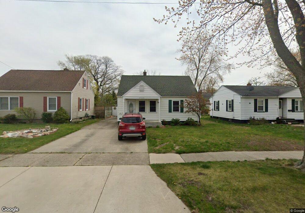
2948 Westland Rd Muskegon, MI 49441
Roosevelt Park NeighborhoodEstimated Value: $170,000 - $191,553
2
Beds
2
Baths
1,390
Sq Ft
$131/Sq Ft
Est. Value
About This Home
This home is located at 2948 Westland Rd, Muskegon, MI 49441 and is currently estimated at $181,638, approximately $130 per square foot. 2948 Westland Rd is a home located in Muskegon County with nearby schools including Mona Shores High School, Edgewood Elementary Academy, and Dr. Martin Luther King Academy.
Ownership History
Date
Name
Owned For
Owner Type
Purchase Details
Closed on
Oct 13, 2010
Sold by
Boucher Linda L
Bought by
Boucher Linda L and Linda L Boucher Trust
Current Estimated Value
Home Financials for this Owner
Home Financials are based on the most recent Mortgage that was taken out on this home.
Original Mortgage
$52,650
Interest Rate
4.3%
Mortgage Type
New Conventional
Purchase Details
Closed on
Aug 29, 2005
Sold by
Boucher Linda L
Bought by
Boucher Linda L and Linda L Boucher Trust
Create a Home Valuation Report for This Property
The Home Valuation Report is an in-depth analysis detailing your home's value as well as a comparison with similar homes in the area
Home Values in the Area
Average Home Value in this Area
Purchase History
| Date | Buyer | Sale Price | Title Company |
|---|---|---|---|
| Boucher Linda L | -- | Safe Title Inc | |
| Boucher Linda L | -- | Safe Title Inc | |
| Boucher Linda L | -- | -- |
Source: Public Records
Mortgage History
| Date | Status | Borrower | Loan Amount |
|---|---|---|---|
| Closed | Boucher Linda L | $52,650 |
Source: Public Records
Tax History Compared to Growth
Tax History
| Year | Tax Paid | Tax Assessment Tax Assessment Total Assessment is a certain percentage of the fair market value that is determined by local assessors to be the total taxable value of land and additions on the property. | Land | Improvement |
|---|---|---|---|---|
| 2025 | $1,877 | $75,000 | $0 | $0 |
| 2024 | $720 | $67,100 | $0 | $0 |
| 2023 | $670 | $59,100 | $0 | $0 |
| 2022 | $1,665 | $51,600 | $0 | $0 |
| 2021 | $1,586 | $47,100 | $0 | $0 |
| 2020 | $1,568 | $44,800 | $0 | $0 |
| 2019 | $1,539 | $41,200 | $0 | $0 |
| 2018 | $1,503 | $37,800 | $0 | $0 |
| 2017 | $1,468 | $37,900 | $0 | $0 |
| 2016 | $558 | $33,900 | $0 | $0 |
| 2015 | -- | $29,700 | $0 | $0 |
| 2014 | -- | $32,700 | $0 | $0 |
| 2013 | -- | $31,000 | $0 | $0 |
Source: Public Records
Map
Nearby Homes
- 1059 W Summit Ave
- 1377 Princeton Rd
- 893 Post Rd
- 868 Post Rd
- 1448 Marlboro Rd
- 1521 Cornell Rd
- 1480 Marlboro Rd
- 3246 Royal Oak Rd
- 3320 Davis Rd
- 2881 Cornell Ct
- 1045 Le Roux Rd Unit 178
- 1582 Haverhill Rd
- 1405 Winchester Dr
- 2936 Fairfield St
- 1689 Bonneville Dr
- 1564 Montague Ave
- 2913 Lemuel St
- 1243 Crandall Ave
- 1752 Bonneville Dr
- 2552 Wickham Dr
- 2954 Westland Rd
- 2942 Westland Rd
- 2960 Westland Rd
- 2989 Roosevelt Rd
- 2995 Roosevelt Rd
- 1165 W Summit Ave
- 3001 Roosevelt Rd
- 2951 Westland Rd
- 2972 Westland Rd
- 1183 W Summit Ave
- 2938 Westland Rd
- 2957 Westland Rd
- 3007 Roosevelt Rd
- 2922 Westland Rd
- 1221 W Summit Ave
- 3013 Roosevelt Rd
- 2923 Westland Rd
- 2949 Roosevelt Rd
- 2984 Westland Rd
- 2990 Roosevelt Rd