29490 Bates Rd Perrysburg, OH 43551
Belmont Farms NeighborhoodEstimated Value: $363,000 - $687,868
3
Beds
3
Baths
3,256
Sq Ft
$166/Sq Ft
Est. Value
About This Home
This home is located at 29490 Bates Rd, Perrysburg, OH 43551 and is currently estimated at $538,967, approximately $165 per square foot. 29490 Bates Rd is a home located in Wood County with nearby schools including Rossford Elementary School, Rossford Junior High School, and Rossford High School.
Ownership History
Date
Name
Owned For
Owner Type
Purchase Details
Closed on
Jun 7, 2019
Sold by
Felton Linda D
Bought by
Felton Linda D and Linda D Felton Trust
Current Estimated Value
Home Financials for this Owner
Home Financials are based on the most recent Mortgage that was taken out on this home.
Original Mortgage
$150,000
Outstanding Balance
$98,418
Interest Rate
4.1%
Mortgage Type
New Conventional
Estimated Equity
$440,549
Purchase Details
Closed on
Jan 6, 2016
Sold by
Urbanski Linda D and Felton Linda D
Bought by
Felton Linda D and Linda D Felton Trust
Purchase Details
Closed on
Jun 10, 2011
Sold by
Urbanski Jeffrey T
Bought by
Urbanski Linda D
Purchase Details
Closed on
Mar 2, 1979
Bought by
Pustay Theresa Le
Create a Home Valuation Report for This Property
The Home Valuation Report is an in-depth analysis detailing your home's value as well as a comparison with similar homes in the area
Home Values in the Area
Average Home Value in this Area
Purchase History
| Date | Buyer | Sale Price | Title Company |
|---|---|---|---|
| Felton Linda D | -- | None Available | |
| Felton Linda D | -- | None Available | |
| Felton Linda D | -- | None Available | |
| Urbanski Linda D | -- | American Title Agency | |
| Pustay Theresa Le | $50,000 | -- |
Source: Public Records
Mortgage History
| Date | Status | Borrower | Loan Amount |
|---|---|---|---|
| Open | Felton Linda D | $150,000 |
Source: Public Records
Tax History Compared to Growth
Tax History
| Year | Tax Paid | Tax Assessment Tax Assessment Total Assessment is a certain percentage of the fair market value that is determined by local assessors to be the total taxable value of land and additions on the property. | Land | Improvement |
|---|---|---|---|---|
| 2024 | $10,800 | $191,660 | $37,765 | $153,895 |
| 2023 | $10,800 | $191,670 | $37,770 | $153,900 |
| 2021 | $10,157 | $146,230 | $28,420 | $117,810 |
| 2020 | $10,230 | $146,230 | $28,420 | $117,810 |
| 2019 | $9,598 | $129,050 | $25,690 | $103,360 |
| 2018 | $9,595 | $129,050 | $25,690 | $103,360 |
| 2017 | $9,332 | $129,050 | $25,690 | $103,360 |
| 2016 | $9,151 | $121,560 | $27,480 | $94,080 |
| 2015 | $7,721 | $121,560 | $27,480 | $94,080 |
| 2014 | $7,076 | $121,560 | $27,480 | $94,080 |
| 2013 | $7,454 | $121,560 | $27,480 | $94,080 |
Source: Public Records
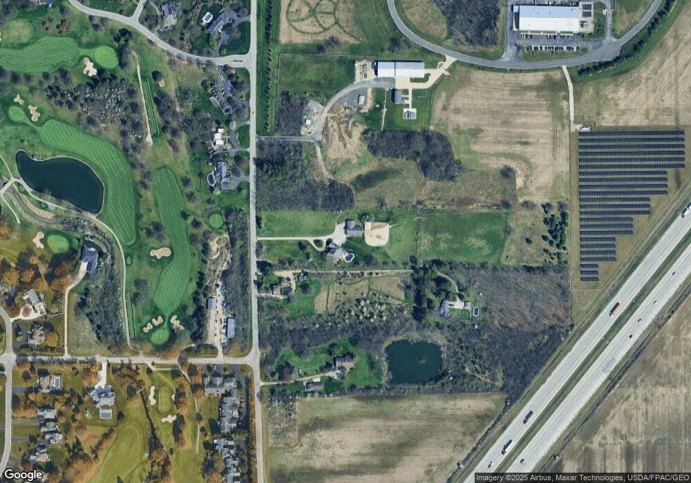
Map
Nearby Homes
- 9627 Sheffield Rd
- 9504 Sheffield Rd
- 9414 Sheffield Rd
- 9886 Ford Rd Unit 9886
- 717 W Ironwood Dr
- 727 W Ironwood Dr
- 725 W Ironwood Dr
- 721 W Ironwood Dr
- 28902 Bates Rd
- 29964 Zachary Ln Unit 28
- 29918 Zachary Ln Unit 12
- 9853 Mandell Rd
- 1247 Grassy Ct
- 1269 Grassy Ln
- 30332 Jacqueline Place
- 30039 Morningside Dr
- 11055 Riverbend Ct E
- 10154 Avenue Rd
- 28542 Simmons Rd
- 11131 Riverbend Ct W Unit 11131
- 29452 Bates Rd
- 29462 Bates Rd
- 29402 Bates Rd
- 29456 Bates Rd
- 29521 Bates Rd
- 29555 Bates Rd
- 9535 Ford Rd Unit 9
- 9541 Ford Rd Unit 10
- 29311 Bates Rd Unit 1
- 9529 Ford Rd
- 29341 Bates Rd Unit 6
- 29329 Bates Rd Unit 4
- 29317 Bates Rd
- 9529 Carnoustie Rd
- 29301 Bates Rd
- 29293 Bates Rd
- 29285 Bates Rd Unit 29279
- 29271 Bates Rd
- 29279 Bates Rd