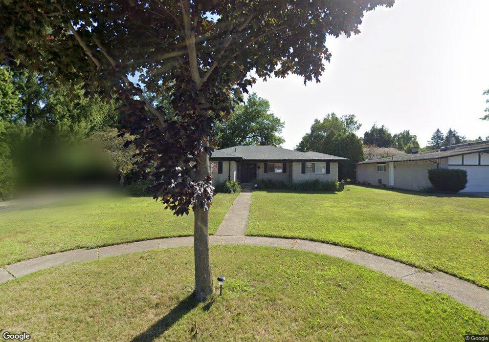
29490 Leemoor Dr Unit Bldg-Unit Southfield, MI 48076
Estimated Value: $294,000 - $347,560
3
Beds
4
Baths
1,884
Sq Ft
$169/Sq Ft
Est. Value
About This Home
This home is located at 29490 Leemoor Dr Unit Bldg-Unit, Southfield, MI 48076 and is currently estimated at $318,390, approximately $168 per square foot. 29490 Leemoor Dr Unit Bldg-Unit is a home located in Oakland County with nearby schools including Alice M. Birney K-8 School, Mcintyre Elementary School, and Yeshivas Darchei Torah.
Ownership History
Date
Name
Owned For
Owner Type
Purchase Details
Closed on
Jul 13, 2018
Sold by
Opoku Diawuo John K and Opoku John
Bought by
Adams Patricia
Current Estimated Value
Purchase Details
Closed on
Apr 26, 2016
Sold by
Anglin Pamela
Bought by
Opoku Diawuo John K
Home Financials for this Owner
Home Financials are based on the most recent Mortgage that was taken out on this home.
Original Mortgage
$178,703
Interest Rate
3.59%
Mortgage Type
FHA
Purchase Details
Closed on
Jan 10, 2006
Sold by
Osley Anthony R
Bought by
Centex Home Equity Company Llc
Create a Home Valuation Report for This Property
The Home Valuation Report is an in-depth analysis detailing your home's value as well as a comparison with similar homes in the area
Home Values in the Area
Average Home Value in this Area
Purchase History
| Date | Buyer | Sale Price | Title Company |
|---|---|---|---|
| Adams Patricia | $189,000 | Venture Title Agency | |
| Opoku Diawuo John K | $182,000 | Liberty Title | |
| Centex Home Equity Company Llc | $205,000 | None Available |
Source: Public Records
Mortgage History
| Date | Status | Borrower | Loan Amount |
|---|---|---|---|
| Previous Owner | Opoku Diawuo John K | $178,703 |
Source: Public Records
Tax History Compared to Growth
Tax History
| Year | Tax Paid | Tax Assessment Tax Assessment Total Assessment is a certain percentage of the fair market value that is determined by local assessors to be the total taxable value of land and additions on the property. | Land | Improvement |
|---|---|---|---|---|
| 2022 | $6,227 | $120,050 | $21,020 | $99,030 |
| 2021 | $6,498 | $112,560 | $25,510 | $87,050 |
| 2020 | $5,700 | $108,020 | $19,840 | $88,180 |
| 2018 | $5,863 | $89,760 | $19,840 | $69,920 |
| 2015 | -- | $72,940 | $0 | $0 |
| 2014 | -- | $61,890 | $0 | $0 |
| 2011 | -- | $61,390 | $0 | $0 |
Source: Public Records
Map
Nearby Homes
- 29585 Woodhaven Ln
- 20351 Lacrosse Ave
- 20141 Lacrosse Ave
- 0000 Farmbrook Rd
- 28450 Tapert Dr
- 19601 W 12 Mile Rd Unit 102
- 29662 Westbrook Pkwy
- 21993 Riverview Dr
- 30130 Woodgate Dr
- 20120 Covington Pkwy
- 29140 Briarbank Ct
- 27925 Arlington Dr
- 21440 Constitution St
- 21140 Winchester St
- 20780 Wayland St
- 19245 Eldridge Ln
- 21330 Winchester St
- 28330 Lahser Rd
- 29743 Chelmsford Rd
- 22601 Highbank Dr
- 29490 Leemoor Dr
- 29470 Leemoor Dr
- 29535 Sharon Ln
- 29465 Sharon Ln
- 29505 Sharon Ln
- 29451 Sharon Ln
- 29460 Leemoor Dr
- 29481 Leemoor Dr
- 29511 Leemoor Dr
- 29431 Sharon Ln
- 29467 Leemoor Dr
- 29539 Leemoor Dr
- 29450 Leemoor Dr
- 29457 Leemoor Dr
- 29415 Sharon Ln
- 29540 Sharon Ln
- 29550 Sharon Ln
- 29460 Sharon Ln
- 29530 Sharon Ln
- 29480 Sharon Ln