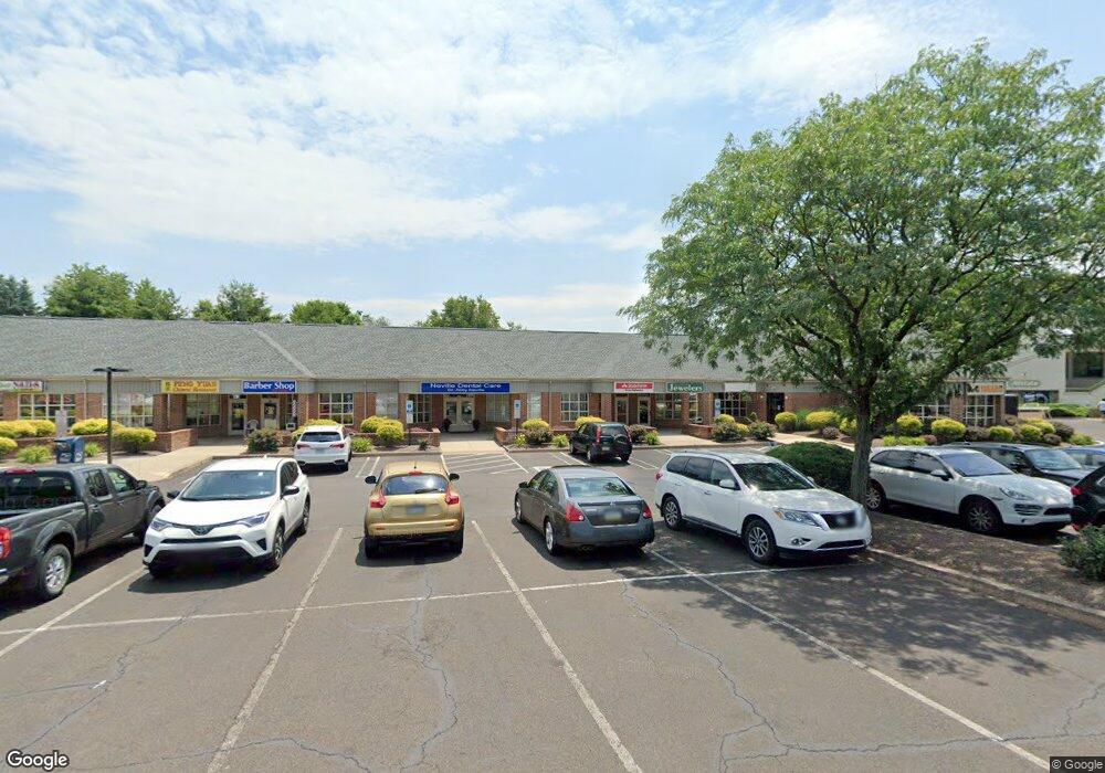
295 Buck Rd Unit 114 Holland, PA 18966
Estimated Value: $196,499
--
Bed
--
Bath
917
Sq Ft
$214/Sq Ft
Est. Value
About This Home
This home is located at 295 Buck Rd Unit 114, Holland, PA 18966 and is currently estimated at $196,499, approximately $214 per square foot. 295 Buck Rd Unit 114 is a home located in Bucks County with nearby schools including Holland Elementary School, Holland Middle School, and Council Rock High School - South.
Ownership History
Date
Name
Owned For
Owner Type
Purchase Details
Closed on
May 9, 2018
Sold by
Muntiz Jason D and Rutkowski Scott P
Bought by
Maika Management Llc
Current Estimated Value
Purchase Details
Closed on
Mar 22, 2002
Sold by
Comerford Raymond C and Comerford Joan F
Bought by
Munitz Od Jason D and Rutkoski Od Scott P
Home Financials for this Owner
Home Financials are based on the most recent Mortgage that was taken out on this home.
Original Mortgage
$84,000
Interest Rate
6.85%
Mortgage Type
Commercial
Purchase Details
Closed on
Feb 26, 1987
Bought by
Comerford Raymond C and Comerford Joan F
Create a Home Valuation Report for This Property
The Home Valuation Report is an in-depth analysis detailing your home's value as well as a comparison with similar homes in the area
Home Values in the Area
Average Home Value in this Area
Purchase History
| Date | Buyer | Sale Price | Title Company |
|---|---|---|---|
| Maika Management Llc | $135,000 | Hudson Abstract Llc | |
| Munitz Od Jason D | $125,000 | -- | |
| Comerford Raymond C | $106,600 | -- |
Source: Public Records
Mortgage History
| Date | Status | Borrower | Loan Amount |
|---|---|---|---|
| Previous Owner | Munitz Od Jason D | $84,000 |
Source: Public Records
Tax History Compared to Growth
Tax History
| Year | Tax Paid | Tax Assessment Tax Assessment Total Assessment is a certain percentage of the fair market value that is determined by local assessors to be the total taxable value of land and additions on the property. | Land | Improvement |
|---|---|---|---|---|
| 2025 | $4,592 | $23,840 | -- | $23,840 |
| 2024 | $4,592 | $23,840 | $0 | $23,840 |
| 2023 | $4,328 | $23,840 | $0 | $23,840 |
| 2022 | $4,288 | $23,840 | $0 | $23,840 |
| 2021 | $4,152 | $23,840 | $0 | $23,840 |
| 2020 | $4,059 | $23,840 | $0 | $23,840 |
| 2019 | $3,885 | $23,840 | $0 | $23,840 |
| 2018 | $3,816 | $23,840 | $0 | $23,840 |
| 2017 | $3,669 | $23,840 | $0 | $23,840 |
| 2016 | $3,669 | $23,840 | $0 | $23,840 |
| 2015 | -- | $23,840 | $0 | $23,840 |
| 2014 | -- | $23,840 | $0 | $23,840 |
Source: Public Records
Map
Nearby Homes
- 65 Witherington Dr
- 1 Falcon Dr Unit 203
- 270 Rocksville Rd
- 2 Falcon Dr Unit 202
- 428 Fox Hollow Dr
- 415 Fox Hollow Dr
- 125 Fox Hollow Dr
- 1870 Bristol Rd
- 111 E Endfield Rd
- 537 Ashton Cir
- 527 Ashton Cir
- 518 Pebble Ridge Ct
- 1700 Colonial Dr
- 113 Creekwood Dr
- 2067 Herrick Ave
- 29 Langhorne Ave
- 258 Woodlake Dr
- 2304 Brownsville Rd
- 2304 Brownsville Rd Unit 1216
- 2304 Brownsville Rd Unit P11
- 295 Buck Rd
- 295 Buck Rd Unit 204
- 295 Buck Rd Unit 311
- 295 Buck Rd Unit 100
- 295 Buck Rd Unit 7
- 295 Buck Rd Unit 111
- 295 Buck Rd Unit 103
- 295 Buck Rd Unit 305
- 295 Buck Rd Unit 110
- 295 Buck Rd Unit 10
- 295 Buck Rd Unit 11
- 295 Buck Rd Unit 4
- 295 Buck Rd Unit 105
- 295 Buck Rd Unit 15
- 295 Buck Rd Unit 306
- 295 Buck Rd Unit STE316
- 295 Buck Rd Unit 203
- 295 Buck Rd Unit 12
- 295 Buck Rd Unit 18
- 295 Buck Rd Unit 107