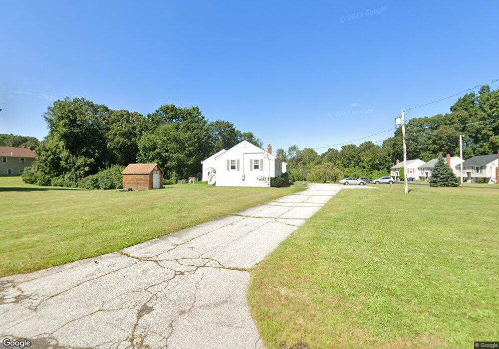
295 Cowell Rd Unit 3 Wrentham, MA 02093
Estimated Value: $351,425 - $504,000
2
Beds
1
Bath
900
Sq Ft
$446/Sq Ft
Est. Value
About This Home
This home is located at 295 Cowell Rd Unit 3, Wrentham, MA 02093 and is currently estimated at $401,356, approximately $445 per square foot. 295 Cowell Rd Unit 3 is a home located in Norfolk County with nearby schools including Delaney Elementary School, Charles E Roderick, and The Sage School.
Ownership History
Date
Name
Owned For
Owner Type
Purchase Details
Closed on
May 19, 2025
Sold by
Kirk Mary G
Bought by
Kirk Rt and Kirk
Current Estimated Value
Purchase Details
Closed on
Feb 25, 2025
Sold by
Kirk Rt and Kirk
Bought by
Kirk Mary G
Purchase Details
Closed on
Oct 9, 2024
Sold by
Kirk Mary G
Bought by
Kirk Rt and Kirk
Purchase Details
Closed on
Dec 10, 1998
Sold by
Hanna Karen M
Bought by
Kirk Mary G
Home Financials for this Owner
Home Financials are based on the most recent Mortgage that was taken out on this home.
Original Mortgage
$86,400
Interest Rate
6.8%
Mortgage Type
Purchase Money Mortgage
Create a Home Valuation Report for This Property
The Home Valuation Report is an in-depth analysis detailing your home's value as well as a comparison with similar homes in the area
Home Values in the Area
Average Home Value in this Area
Purchase History
| Date | Buyer | Sale Price | Title Company |
|---|---|---|---|
| Kirk Rt | -- | None Available | |
| Kirk Rt | -- | None Available | |
| Kirk Mary G | -- | None Available | |
| Kirk Mary G | -- | None Available | |
| Kirk Rt | -- | None Available | |
| Kirk Rt | -- | None Available | |
| Kirk Rt | -- | None Available | |
| Kirk Mary G | $108,000 | -- |
Source: Public Records
Mortgage History
| Date | Status | Borrower | Loan Amount |
|---|---|---|---|
| Previous Owner | Kirk Mary G | $86,400 |
Source: Public Records
Tax History Compared to Growth
Tax History
| Year | Tax Paid | Tax Assessment Tax Assessment Total Assessment is a certain percentage of the fair market value that is determined by local assessors to be the total taxable value of land and additions on the property. | Land | Improvement |
|---|---|---|---|---|
| 2025 | $3,144 | $271,300 | $0 | $271,300 |
| 2024 | $3,256 | $271,300 | $0 | $271,300 |
| 2023 | $3,364 | $266,600 | $0 | $266,600 |
| 2022 | $3,217 | $235,300 | $0 | $235,300 |
| 2021 | $3,067 | $218,000 | $0 | $218,000 |
| 2020 | $2,991 | $209,900 | $0 | $209,900 |
| 2019 | $2,964 | $209,900 | $0 | $209,900 |
| 2018 | $2,949 | $207,100 | $0 | $207,100 |
| 2017 | $2,871 | $201,500 | $0 | $201,500 |
| 2016 | $2,769 | $193,900 | $0 | $193,900 |
| 2015 | $2,617 | $174,700 | $0 | $174,700 |
| 2014 | $2,704 | $176,600 | $0 | $176,600 |
Source: Public Records
Map
Nearby Homes
- 362 East St
- 65 Pond St
- 120 Hawes St
- 1 Lorraine Metcalf Dr
- 319 Taunton St
- 483 Thurston St
- 270 Dedham St
- 10 Nature View Dr
- 15 Nature View Dr
- 11 Earle Stewart Ln
- 131 Creek St Unit 7
- Lot 3 - 14 Earle Stewart Ln
- Lot 1 - Blueberry 2 Car Plan at King Philip Estates
- Lot 8 - Blueberry 2 Car Plan at King Philip Estates
- Lot 5 - Hughes 2 car Plan at King Philip Estates
- Lot 6 - Blueberry 3 Car Plan at King Philip Estates
- Lot 2 - Camden 2 Car Plan at King Philip Estates
- Lot 7 - Cedar Plan at King Philip Estates
- Lot 4 - Hemingway 2 Car Plan at King Philip Estates
- Lot 3 - Blueberry 2 Car Plan at King Philip Estates
- 275 Cowell Rd
- 285 Cowell Rd
- 295 Cowell Rd
- 285 Cowell Rd Unit B
- 325 Cowell Rd
- 315 Cowell Rd
- 305 Cowell Rd
- 305 Cowell Rd Unit A
- 315 Cowell Rd Unit 315
- 315 Cowell Rd Unit 2,m25
- 255 Cowell Rd
- 245 Cowell Rd
- 255 Cowell Rd Unit b
- 265 Cowell Rd
- 270 Cowell Rd
- 280 Cowell Rd
- 290 Cowell Rd
- 270 Cowell Rd Unit 270
- 205 Clark Rd
- 195 Clark Rd