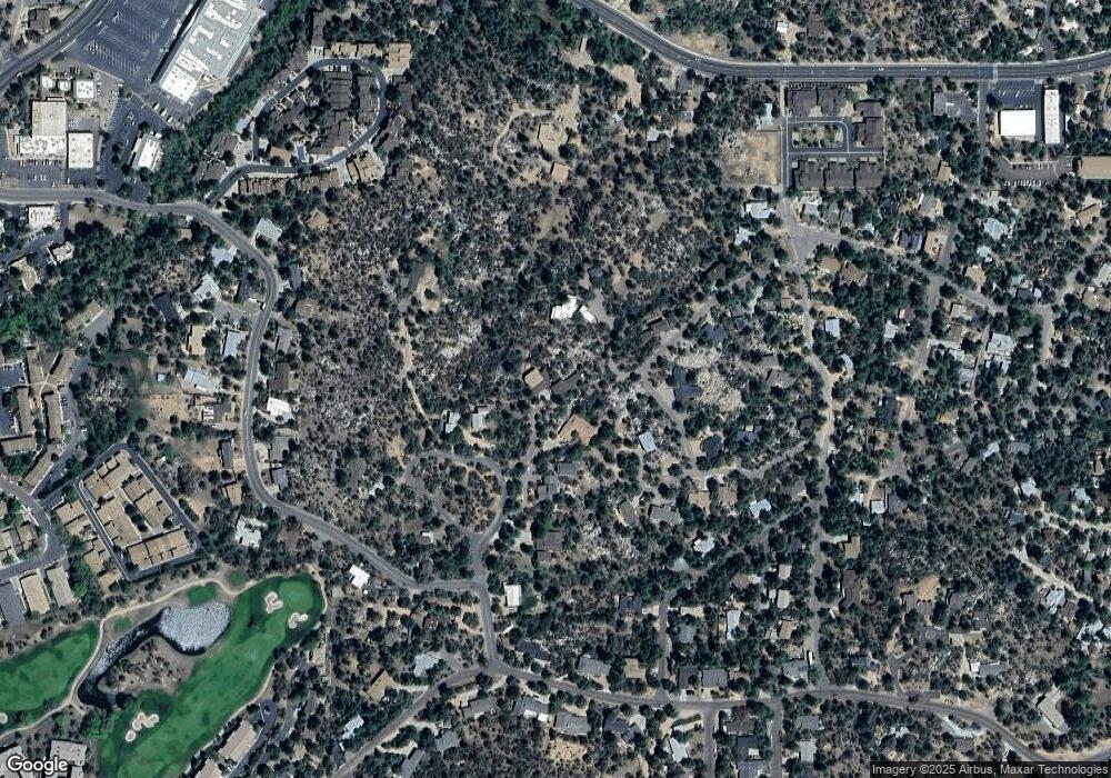
295 Cradle Rock Rd Prescott, AZ 86303
Estimated Value: $1,064,000 - $1,355,000
--
Bed
--
Bath
4,329
Sq Ft
$279/Sq Ft
Est. Value
About This Home
This home is located at 295 Cradle Rock Rd, Prescott, AZ 86303 and is currently estimated at $1,208,438, approximately $279 per square foot. 295 Cradle Rock Rd is a home located in Yavapai County with nearby schools including Lincoln Elementary School, Granite Mountain Middle School, and Prescott Mile High Middle School.
Ownership History
Date
Name
Owned For
Owner Type
Purchase Details
Closed on
Aug 16, 2004
Sold by
Sletta David L and Sletta Beverly J
Bought by
Lowe Lewis J and Lowe Carolyn
Current Estimated Value
Home Financials for this Owner
Home Financials are based on the most recent Mortgage that was taken out on this home.
Original Mortgage
$350,000
Outstanding Balance
$172,869
Interest Rate
5.94%
Mortgage Type
New Conventional
Estimated Equity
$1,035,569
Purchase Details
Closed on
Oct 18, 1993
Sold by
Griffiths Griffith Alan and Griffiths Vera Helen
Bought by
Griffiths Griffith Alan and Griffiths Vera Helen
Create a Home Valuation Report for This Property
The Home Valuation Report is an in-depth analysis detailing your home's value as well as a comparison with similar homes in the area
Home Values in the Area
Average Home Value in this Area
Purchase History
| Date | Buyer | Sale Price | Title Company |
|---|---|---|---|
| Lowe Lewis J | $475,000 | Pioneer Title Agency | |
| Griffiths Griffith Alan | -- | -- |
Source: Public Records
Mortgage History
| Date | Status | Borrower | Loan Amount |
|---|---|---|---|
| Open | Lowe Lewis J | $350,000 |
Source: Public Records
Tax History Compared to Growth
Tax History
| Year | Tax Paid | Tax Assessment Tax Assessment Total Assessment is a certain percentage of the fair market value that is determined by local assessors to be the total taxable value of land and additions on the property. | Land | Improvement |
|---|---|---|---|---|
| 2026 | $3,231 | $106,462 | -- | -- |
| 2024 | $3,153 | $100,465 | -- | -- |
| 2023 | $3,153 | $77,276 | $0 | $0 |
| 2022 | $3,078 | $64,924 | $7,048 | $57,876 |
| 2021 | $3,234 | $64,523 | $7,027 | $57,496 |
| 2020 | $3,248 | $0 | $0 | $0 |
| 2019 | $3,225 | $0 | $0 | $0 |
| 2018 | $3,082 | $0 | $0 | $0 |
| 2017 | $2,970 | $0 | $0 | $0 |
| 2016 | $2,957 | $0 | $0 | $0 |
| 2015 | -- | $0 | $0 | $0 |
| 2014 | -- | $0 | $0 | $0 |
Source: Public Records
Map
Nearby Homes
- 110 Grace Ave
- 1100 W Gurley St
- 229 Creekside Cir Unit 15C
- 217 Creekside Cir Unit 16g
- 217 Creekside Cir Unit 16E
- 217 Creekside Cir Unit 16D
- 237 Creekside Cir Unit F
- 237 Creekside Cir Unit C
- 1027 Country Club Dr
- 242 Plaza Ct
- 253 Creekside Cir Unit D
- 435 Fairway View Dr
- 103 San Carlos Rd
- 740 Coronado Ave
- 1104 Country Club Dr
- 910 W Gurley St Unit 8
- 910 W Gurley St Unit 127
- 910 W Gurley St Unit 32
- 1199 Linwood Ave
- 338 Country Club Cir
- 1130 Smoki Ave
- 1115 Smoki Ave
- 1136 Outwest Ave
- 209 Outwest Ave
- 0 Outwest Ave
- 1113 Smoki Ave
- 1116 Smoki Ave
- 0 Smoki Dr
- 208 Grace Ave
- 204 Grace Ave
- 1150 Smoki Ave
- 222 Grace Ave
- 1100 Smoki Ave
- 132 Grace Ave
- 212 Outwest Ave
- 221 Outwest Ave
- 221 Outwest Ave
- 1148 Mohawk Trail
- 120 Grace Ave
- 297 Sunset Park Dr
