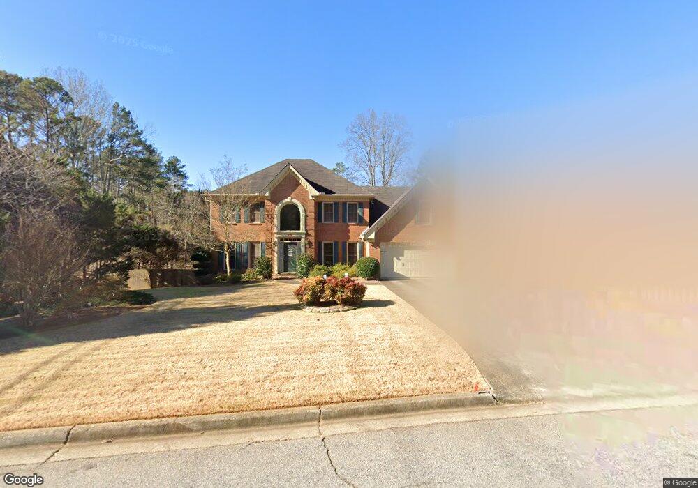
295 Emily Dr SW Unit 1 Lilburn, GA 30047
Estimated Value: $503,709 - $597,000
4
Beds
3
Baths
2,808
Sq Ft
$198/Sq Ft
Est. Value
About This Home
This home is located at 295 Emily Dr SW Unit 1, Lilburn, GA 30047 and is currently estimated at $554,677, approximately $197 per square foot. 295 Emily Dr SW Unit 1 is a home located in Gwinnett County with nearby schools including Arcado Elementary School, Trickum Middle School, and Parkview High School.
Ownership History
Date
Name
Owned For
Owner Type
Purchase Details
Closed on
Jan 12, 2015
Sold by
Bowerman Wendy E
Bought by
Wendy Bowerman Revocable Trust
Current Estimated Value
Purchase Details
Closed on
Sep 16, 2013
Sold by
Liao Ying John
Bought by
Bowerman Charlie S and Bowerman Wendy E
Home Financials for this Owner
Home Financials are based on the most recent Mortgage that was taken out on this home.
Original Mortgage
$201,600
Interest Rate
4.39%
Mortgage Type
New Conventional
Create a Home Valuation Report for This Property
The Home Valuation Report is an in-depth analysis detailing your home's value as well as a comparison with similar homes in the area
Home Values in the Area
Average Home Value in this Area
Purchase History
| Date | Buyer | Sale Price | Title Company |
|---|---|---|---|
| Wendy Bowerman Revocable Trust | -- | -- | |
| Bowerman Charlie S | $224,000 | -- |
Source: Public Records
Mortgage History
| Date | Status | Borrower | Loan Amount |
|---|---|---|---|
| Previous Owner | Bowerman Charlie S | $201,600 |
Source: Public Records
Tax History Compared to Growth
Tax History
| Year | Tax Paid | Tax Assessment Tax Assessment Total Assessment is a certain percentage of the fair market value that is determined by local assessors to be the total taxable value of land and additions on the property. | Land | Improvement |
|---|---|---|---|---|
| 2025 | $5,029 | $219,040 | $36,000 | $183,040 |
| 2024 | $4,704 | $195,640 | $36,000 | $159,640 |
| 2023 | $4,704 | $148,000 | $24,800 | $123,200 |
| 2022 | $3,740 | $148,000 | $24,800 | $123,200 |
| 2021 | $3,502 | $132,120 | $24,800 | $107,320 |
| 2020 | $4,296 | $132,120 | $24,800 | $107,320 |
| 2019 | $3,820 | $114,240 | $20,000 | $94,240 |
| 2018 | $3,836 | $114,240 | $20,000 | $94,240 |
| 2016 | $3,194 | $89,600 | $12,800 | $76,800 |
| 2015 | $3,221 | $89,600 | $12,800 | $76,800 |
| 2014 | $3,237 | $89,600 | $12,800 | $76,800 |
Source: Public Records
Map
Nearby Homes
- 311 Arbor Point Ct SW
- 4627 Nantucket Dr SW
- 4909 Woodfall Dr SW
- 4740 Nantucket Dr SW
- 4989 Woodfall Dr SW
- 146 King David Dr SW
- 248 Kettlewood Dr SW
- 562 Gregg Dr SW
- 4879 Joy Ln SW
- 4983 Arcado Rd SW
- 4358 Louis Rd SW
- 4567 Town Crier Rd SW
- 5041 Cricket Ct SW
- 4814 Delgado Dr SW
- 383 Ben Ave SW
- The Tyndall Plan at Annsbury Park
- The Maisie II Plan at Annsbury Park
- The Sadler Plan at Annsbury Park
- The Talbot Plan at Annsbury Park
- 295 Emily Dr SW
- 285 Emily Dr SW Unit 1
- 4413 Arcado Rd SW
- 303 Emily Dr SW
- 275 Emily Dr SW
- 4711 Arcado Rd SW
- 348 Murray Way
- 278 Murray Way
- 258 Murray Way
- 368 Murray Way
- 328 Murray Way
- 398 Murray Way
- 318 Murray Way
- 388 Murray Way
- 308 Murray Way
- 321 Murray Way
- 288 Murray Way
- 331 Murray Way
- 338 Murray Way
- 378 Murray Way