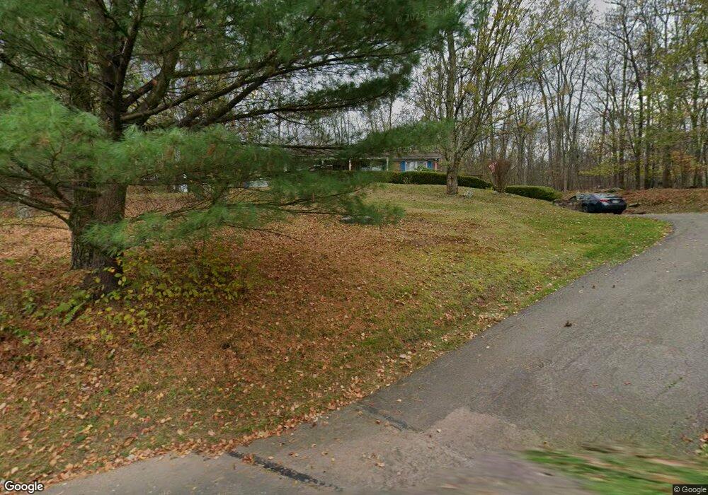
295 Forest St Honesdale, PA 18431
Estimated Value: $269,000 - $293,587
3
Beds
2
Baths
1,560
Sq Ft
$181/Sq Ft
Est. Value
About This Home
This home is located at 295 Forest St, Honesdale, PA 18431 and is currently estimated at $282,647, approximately $181 per square foot. 295 Forest St is a home located in Wayne County with nearby schools including Honesdale High School and St. Vincent's School.
Ownership History
Date
Name
Owned For
Owner Type
Purchase Details
Closed on
Oct 28, 2021
Sold by
Mendes Robert M and Mendes Rebecca
Bought by
Morgan Sean
Current Estimated Value
Home Financials for this Owner
Home Financials are based on the most recent Mortgage that was taken out on this home.
Original Mortgage
$189,000
Outstanding Balance
$172,920
Interest Rate
2.88%
Mortgage Type
New Conventional
Estimated Equity
$109,727
Purchase Details
Closed on
Nov 14, 2006
Sold by
Zeunges Mary C
Bought by
Zeunges Michael F
Create a Home Valuation Report for This Property
The Home Valuation Report is an in-depth analysis detailing your home's value as well as a comparison with similar homes in the area
Home Values in the Area
Average Home Value in this Area
Purchase History
| Date | Buyer | Sale Price | Title Company |
|---|---|---|---|
| Morgan Sean | $210,000 | None Available | |
| Zeunges Michael F | -- | None Available |
Source: Public Records
Mortgage History
| Date | Status | Borrower | Loan Amount |
|---|---|---|---|
| Open | Morgan Sean | $189,000 |
Source: Public Records
Tax History Compared to Growth
Tax History
| Year | Tax Paid | Tax Assessment Tax Assessment Total Assessment is a certain percentage of the fair market value that is determined by local assessors to be the total taxable value of land and additions on the property. | Land | Improvement |
|---|---|---|---|---|
| 2025 | $3,799 | $230,300 | $61,400 | $168,900 |
| 2024 | $3,623 | $230,300 | $61,400 | $168,900 |
| 2023 | $5,147 | $230,300 | $61,400 | $168,900 |
| 2022 | $3,868 | $161,600 | $33,300 | $128,300 |
| 2021 | $3,829 | $161,600 | $33,300 | $128,300 |
| 2020 | $3,829 | $161,600 | $33,300 | $128,300 |
| 2019 | $3,572 | $161,600 | $33,300 | $128,300 |
| 2018 | $3,476 | $161,600 | $33,300 | $128,300 |
| 2017 | $3,203 | $161,600 | $33,300 | $128,300 |
| 2016 | $2,356 | $161,600 | $33,300 | $128,300 |
| 2014 | -- | $161,600 | $33,300 | $128,300 |
Source: Public Records
Map
Nearby Homes