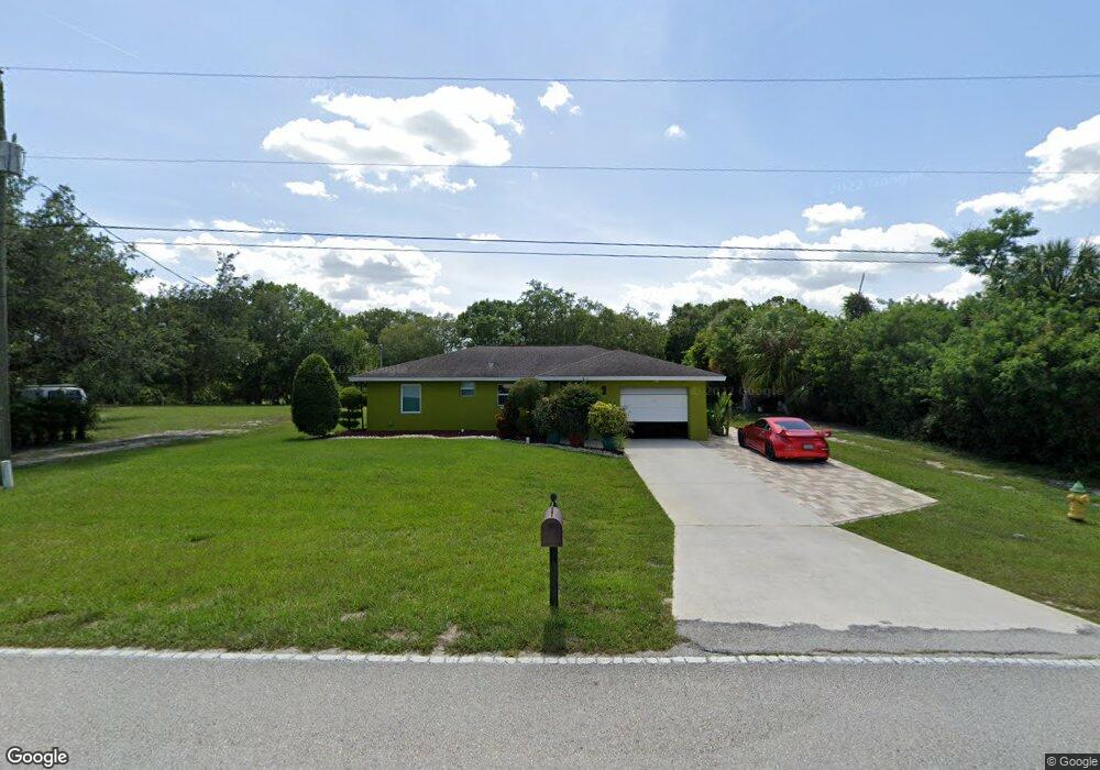
295 Harbor Blvd Port Charlotte, FL 33954
Estimated Value: $222,000 - $252,000
3
Beds
1
Bath
1,346
Sq Ft
$176/Sq Ft
Est. Value
About This Home
This home is located at 295 Harbor Blvd, Port Charlotte, FL 33954 and is currently estimated at $236,899, approximately $176 per square foot. 295 Harbor Blvd is a home located in Charlotte County with nearby schools including Kingsway Elementary School, Port Charlotte Middle School, and Port Charlotte High School.
Ownership History
Date
Name
Owned For
Owner Type
Purchase Details
Closed on
Sep 23, 2003
Sold by
Nuzum Brian E and Nuzum B
Bought by
Cortez Adolfo
Current Estimated Value
Home Financials for this Owner
Home Financials are based on the most recent Mortgage that was taken out on this home.
Original Mortgage
$67,615
Outstanding Balance
$31,367
Interest Rate
6.24%
Mortgage Type
FHA
Estimated Equity
$205,532
Purchase Details
Closed on
May 29, 2003
Sold by
Nuzum Michelle L
Bought by
Nuzum Brian E
Purchase Details
Closed on
Nov 18, 1993
Sold by
Nuzum Michelle Stenlund
Bought by
Nuzum Brian E
Create a Home Valuation Report for This Property
The Home Valuation Report is an in-depth analysis detailing your home's value as well as a comparison with similar homes in the area
Home Values in the Area
Average Home Value in this Area
Purchase History
| Date | Buyer | Sale Price | Title Company |
|---|---|---|---|
| Cortez Adolfo | $68,200 | -- | |
| Nuzum Brian E | -- | -- | |
| Nuzum Brian E | -- | -- |
Source: Public Records
Mortgage History
| Date | Status | Borrower | Loan Amount |
|---|---|---|---|
| Open | Cortez Adolfo | $67,615 |
Source: Public Records
Tax History Compared to Growth
Tax History
| Year | Tax Paid | Tax Assessment Tax Assessment Total Assessment is a certain percentage of the fair market value that is determined by local assessors to be the total taxable value of land and additions on the property. | Land | Improvement |
|---|---|---|---|---|
| 2023 | $3,866 | $161,647 | $0 | $0 |
| 2022 | $3,157 | $167,732 | $20,400 | $147,332 |
| 2021 | $2,884 | $133,593 | $9,138 | $124,455 |
| 2020 | $2,755 | $131,113 | $8,500 | $122,613 |
| 2019 | $2,583 | $127,481 | $8,500 | $118,981 |
| 2018 | $2,299 | $122,089 | $7,650 | $114,439 |
| 2017 | $2,081 | $98,801 | $7,616 | $91,185 |
| 2016 | $2,018 | $84,491 | $0 | $0 |
| 2015 | $1,876 | $76,810 | $0 | $0 |
| 2014 | $1,712 | $69,827 | $0 | $0 |
Source: Public Records
Map
Nearby Homes
- 21475 Argosy Ave
- 304 Fletcher St
- 21507 Dobbins Ave
- 375 Waterside St
- 400 Waterside St
- 234 Harbor Blvd
- 408 Fletcher St
- 21335 Leonard Ave
- 21359 Leonard Ave
- 207 Fletcher St
- 21296 Argyle Ave
- 21288 Argyle Ave
- 21464 Bingham Ave
- 21271 Leonard Ave
- 338 Hyacinth St
- 175 Fletcher St
- 22054 Landis Ave
- 21460 Chipman Ave
- 215 Fletcher St
- 22049 Deborah Ave
- 279 Harbor Blvd
- 21441 Seaton Ave
- 319 Harbor Blvd
- 296 Waterside St
- 304 Waterside St
- 288 Waterside St
- 21442 Dollard Ave
- 312 Waterside St
- 21441 Voltair Ave
- 280 Waterside St
- 327 Harbor Blvd
- 267 Harbor Blvd
- 21452 Seaton Ave
- 21452 Avenue
- 272 Waterside St
- 21459 Seaton Ave
- 21460 Seaton Ave
- 328 Waterside St
- 335 Harbor Blvd
- 264 Waterside St