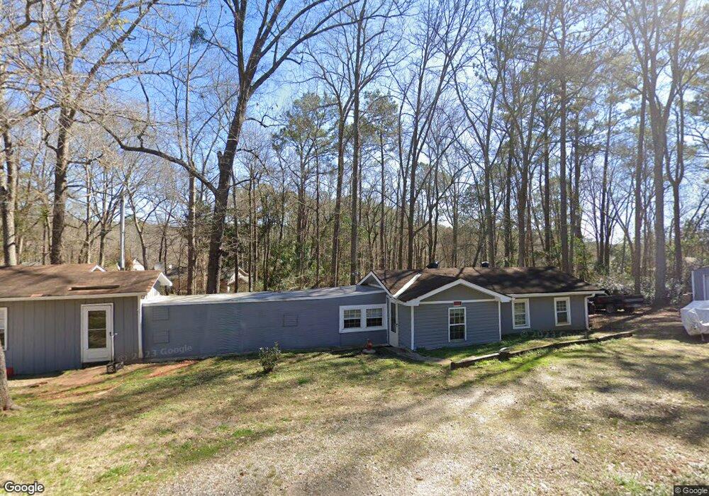
295 Lang Rd Covington, GA 30014
Estimated Value: $138,275 - $302,000
Studio
--
Bath
1,355
Sq Ft
$155/Sq Ft
Est. Value
About This Home
This home is located at 295 Lang Rd, Covington, GA 30014 and is currently estimated at $210,425, approximately $155 per square foot. 295 Lang Rd is a home with nearby schools including Rocky Plains Elementary School, Indian Creek Middle School, and Alcovy High School.
Ownership History
Date
Name
Owned For
Owner Type
Purchase Details
Closed on
Oct 15, 2021
Sold by
Daniel William J
Bought by
Wilson James R
Current Estimated Value
Purchase Details
Closed on
Nov 6, 2018
Sold by
Keller Noel
Bought by
Daniel William J
Purchase Details
Closed on
Jun 27, 2005
Sold by
Daniel William J
Bought by
Keller Noel
Home Financials for this Owner
Home Financials are based on the most recent Mortgage that was taken out on this home.
Original Mortgage
$25,000
Interest Rate
4.97%
Mortgage Type
Trade
Create a Home Valuation Report for This Property
The Home Valuation Report is an in-depth analysis detailing your home's value as well as a comparison with similar homes in the area
Home Values in the Area
Average Home Value in this Area
Purchase History
| Date | Buyer | Sale Price | Title Company |
|---|---|---|---|
| Wilson James R | $10,000 | -- | |
| Daniel William J | -- | -- | |
| Keller Noel | $35,000 | -- |
Source: Public Records
Mortgage History
| Date | Status | Borrower | Loan Amount |
|---|---|---|---|
| Previous Owner | Keller Noel | $25,000 |
Source: Public Records
Tax History Compared to Growth
Tax History
| Year | Tax Paid | Tax Assessment Tax Assessment Total Assessment is a certain percentage of the fair market value that is determined by local assessors to be the total taxable value of land and additions on the property. | Land | Improvement |
|---|---|---|---|---|
| 2025 | $819 | $32,920 | $11,840 | $21,080 |
| 2024 | $744 | $29,360 | $10,240 | $19,120 |
| 2023 | $689 | $25,400 | $7,200 | $18,200 |
| 2022 | $519 | $19,120 | $5,760 | $13,360 |
| 2021 | $516 | $17,000 | $6,120 | $10,880 |
| 2020 | $613 | $18,240 | $7,200 | $11,040 |
| 2019 | $495 | $14,520 | $5,600 | $8,920 |
| 2018 | $485 | $14,120 | $5,600 | $8,520 |
| 2017 | $260 | $11,480 | $4,000 | $7,480 |
| 2016 | $188 | $9,360 | $3,200 | $6,160 |
| 2015 | $218 | $10,240 | $3,200 | $7,040 |
| 2014 | $219 | $10,240 | $0 | $0 |
Source: Public Records
Map
Nearby Homes
- 755 Lang Cir
- 0 Rocky Point Rd Unit 10488289
- 500 Lang Rd
- 800 Rocky Point Rd
- 480 Mitchell Rd
- 296 Reeves Rd
- 140 Friddell Rd
- 211 Mitchell Rd
- 123 Friddell Rd
- 184 Bradley Rd
- 458 Haley Rd
- 120 Bill Brown Rd
- 390 Rocky Point Rd
- 0000 Rocky Point Rd
- 470 Haley Rd
- 0 Collins Rd Unit 10638377
- 132 Collins Rd
- 473 Haley Rd
- 200 Bradley Rd
- 186 Arrow Point Rd