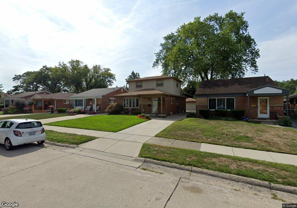
295 Leroy Ave Clawson, MI 48017
Estimated Value: $342,187 - $432,000
3
Beds
2
Baths
1,512
Sq Ft
$243/Sq Ft
Est. Value
About This Home
This home is located at 295 Leroy Ave, Clawson, MI 48017 and is currently estimated at $368,047, approximately $243 per square foot. 295 Leroy Ave is a home located in Oakland County with nearby schools including Clawson Middle School, Clawson High School, and Guardian Angels School.
Ownership History
Date
Name
Owned For
Owner Type
Purchase Details
Closed on
May 25, 2011
Sold by
The Sandra Lee Cecilia Schmaltz Revocabl and Wilson Patricia A
Bought by
Wilson Patricia A
Current Estimated Value
Purchase Details
Closed on
May 1, 2001
Sold by
Schmaltz Sandra L
Bought by
Sandra Lee Cecilia Schmaltz T
Purchase Details
Closed on
Nov 20, 2000
Sold by
Dennis Arthur Schmaltz T
Bought by
Schmaltz Sandra L
Purchase Details
Closed on
Aug 31, 1995
Sold by
Schmaltz Dennis Arthur
Bought by
Dennis Arthur Schmaltz Tr
Create a Home Valuation Report for This Property
The Home Valuation Report is an in-depth analysis detailing your home's value as well as a comparison with similar homes in the area
Home Values in the Area
Average Home Value in this Area
Purchase History
| Date | Buyer | Sale Price | Title Company |
|---|---|---|---|
| Wilson Patricia A | -- | None Available | |
| Sandra Lee Cecilia Schmaltz T | -- | -- | |
| Schmaltz Sandra L | -- | -- | |
| Dennis Arthur Schmaltz Tr | -- | -- |
Source: Public Records
Tax History
| Year | Tax Paid | Tax Assessment Tax Assessment Total Assessment is a certain percentage of the fair market value that is determined by local assessors to be the total taxable value of land and additions on the property. | Land | Improvement |
|---|---|---|---|---|
| 2025 | $3,766 | $176,770 | $0 | $0 |
| 2024 | $3,599 | $144,430 | $0 | $0 |
| 2023 | $3,450 | $132,450 | $0 | $0 |
| 2022 | $3,477 | $123,000 | $0 | $0 |
| 2021 | $3,406 | $116,520 | $0 | $0 |
| 2020 | $3,300 | $108,570 | $0 | $0 |
| 2019 | $3,409 | $104,590 | $0 | $0 |
| 2018 | $3,385 | $99,220 | $0 | $0 |
| 2017 | $3,365 | $96,500 | $0 | $0 |
| 2016 | $3,405 | $90,980 | $0 | $0 |
| 2015 | -- | $83,580 | $0 | $0 |
| 2014 | -- | $72,450 | $0 | $0 |
| 2011 | -- | $65,800 | $0 | $0 |
Source: Public Records
Map
Nearby Homes
- 124 Leroy Ave
- 1563 N Bywood Ave Unit 6
- 659 W Maple Rd
- Fairfax Plan at The Village at Clawson Park
- Penrose Plan at The Village at Clawson Park
- 931 W Elmwood Ave
- 71 Cloveridge Dr
- 846 Phillips Ave
- 138 Chopin St
- 1451 Kenilworth Place
- 609 John M Ave
- 298 Broadacre Ave
- 917 Kenwood St
- 911 Kenwood St
- 909 Kenwood St
- 918 Kenwood St
- 674 Langley Blvd
- 310 N Marias Ave
- 65 Algansee Dr
- 320 N Batchewana St
Your Personal Tour Guide
Ask me questions while you tour the home.