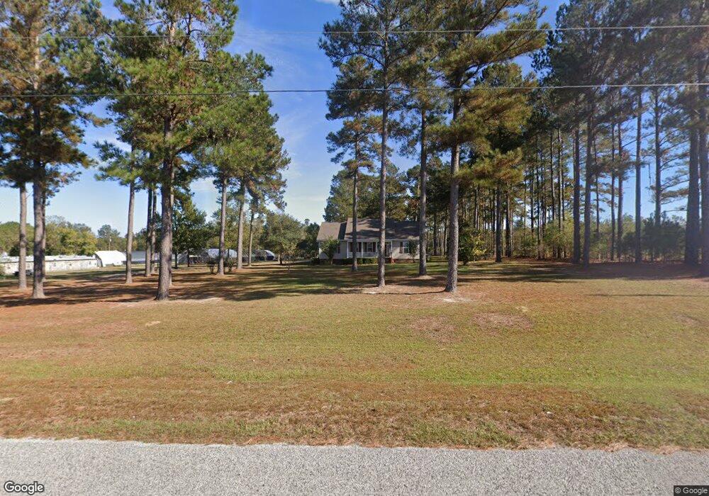
295 Middleground Rd Waynesboro, GA 30830
Estimated Value: $288,873 - $324,000
4
Beds
3
Baths
1,968
Sq Ft
$155/Sq Ft
Est. Value
About This Home
This home is located at 295 Middleground Rd, Waynesboro, GA 30830 and is currently estimated at $305,968, approximately $155 per square foot. 295 Middleground Rd is a home with nearby schools including Burke County High School.
Ownership History
Date
Name
Owned For
Owner Type
Purchase Details
Closed on
Oct 26, 2021
Sold by
Rabun Catherine C
Bought by
Johnson Patrick
Current Estimated Value
Home Financials for this Owner
Home Financials are based on the most recent Mortgage that was taken out on this home.
Original Mortgage
$193,000
Outstanding Balance
$176,379
Interest Rate
2.8%
Mortgage Type
New Conventional
Estimated Equity
$129,589
Purchase Details
Closed on
Apr 6, 2004
Sold by
Rabun P L Aka Perritt L
Bought by
Rabun P L Aka Perritt L
Create a Home Valuation Report for This Property
The Home Valuation Report is an in-depth analysis detailing your home's value as well as a comparison with similar homes in the area
Home Values in the Area
Average Home Value in this Area
Purchase History
| Date | Buyer | Sale Price | Title Company |
|---|---|---|---|
| Johnson Patrick | $193,000 | -- | |
| Rabun P L Aka Perritt L | -- | -- |
Source: Public Records
Mortgage History
| Date | Status | Borrower | Loan Amount |
|---|---|---|---|
| Open | Johnson Patrick | $193,000 |
Source: Public Records
Tax History Compared to Growth
Tax History
| Year | Tax Paid | Tax Assessment Tax Assessment Total Assessment is a certain percentage of the fair market value that is determined by local assessors to be the total taxable value of land and additions on the property. | Land | Improvement |
|---|---|---|---|---|
| 2024 | $768 | $107,822 | $2,432 | $105,390 |
| 2023 | $850 | $106,652 | $2,066 | $104,586 |
| 2022 | $1,649 | $92,067 | $1,950 | $90,117 |
| 2021 | $1,692 | $79,318 | $1,950 | $77,368 |
| 2020 | $1,695 | $79,318 | $1,950 | $77,368 |
| 2019 | $1,567 | $72,291 | $1,950 | $70,341 |
| 2018 | $1,567 | $72,291 | $1,950 | $70,341 |
| 2017 | $1,768 | $81,021 | $2,717 | $78,304 |
| 2016 | $1,780 | $81,021 | $2,717 | $78,304 |
| 2015 | $1,796 | $81,102 | $2,717 | $78,385 |
| 2014 | $1,809 | $81,102 | $2,717 | $78,385 |
| 2013 | -- | $81,102 | $2,716 | $78,385 |
Source: Public Records
Map
Nearby Homes
- 166 Fairway Dr
- 0 Chappell Rd
- 0 Shady Oak Ln Unit 446794
- 0 Shady Oak Ln Unit 446777
- 1415 Spread Oak Rd
- 134 Brinson Rd
- 113 Pine Cone Rd
- 342 Spring Valley Rd
- 140 Lake Bluff Dr
- 640 Cherokee Dr
- 118 Lake Bluff Dr
- 462 W 4th St
- 503 Victory Dr
- 511 Woodbine Rd
- 510 Park Dr
- 413 Jones Ave
- 425 Jones Ave
- 403 Shadrack St
- 508 Jones Ave
- 413 S Liberty St
- 297A Middleground Rd
- 302 Middleground Rd
- 225 Middleground Rd
- 342 Middleground Rd
- 503 Middleground Rd
- 350 Middleground Rd
- 0 Middle Ground Rd Unit 446732
- 466 Middleground Rd
- 469 Middleground Rd
- 222 Middleground Rd
- 290 Porter Carswell Rd
- 528 Loren Ln
- 520 Loren Ln
- 306 Porter Carswell Rd
- 204 Porter Carswell Rd
- 220 Porter Carswell Rd
- 180 Middleground Rd
- 536 Loren Ln
- 186 Porter Carswell Rd
- 162 Porter Carswell Rd