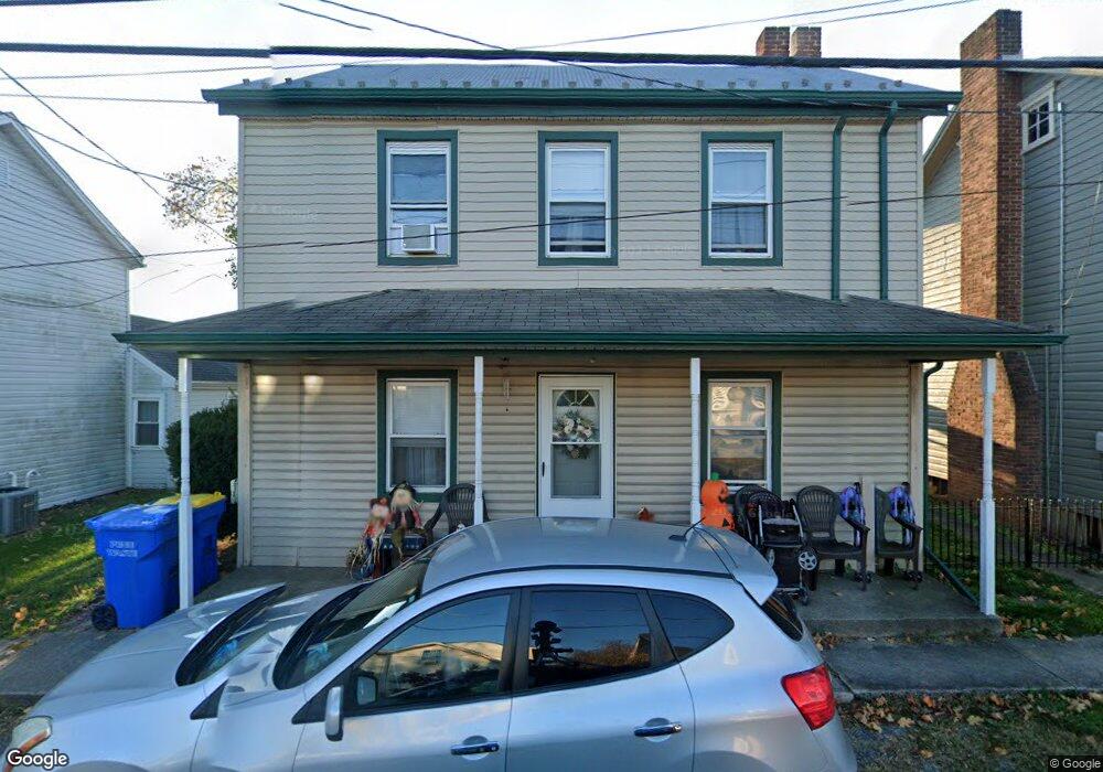
295 N Locust Point Rd New Kingstown, PA 17072
Estimated Value: $204,000 - $303,000
2
Beds
1
Bath
1,269
Sq Ft
$205/Sq Ft
Est. Value
About This Home
This home is located at 295 N Locust Point Rd, New Kingstown, PA 17072 and is currently estimated at $259,879, approximately $204 per square foot. 295 N Locust Point Rd is a home with nearby schools including Silver Spring Elementary School, Eagle View Middle School, and Cumberland Valley High School.
Ownership History
Date
Name
Owned For
Owner Type
Purchase Details
Closed on
Jun 10, 2021
Sold by
Kunkel John C and Kunkel Robyn Malinda
Bought by
Kunkle John C and Kunkle Robyn Malinda
Current Estimated Value
Home Financials for this Owner
Home Financials are based on the most recent Mortgage that was taken out on this home.
Original Mortgage
$153,750
Outstanding Balance
$139,201
Interest Rate
2.9%
Mortgage Type
New Conventional
Estimated Equity
$120,678
Purchase Details
Closed on
Mar 26, 1999
Sold by
Sgrignuoli Francis R
Bought by
Darr Gary E
Home Financials for this Owner
Home Financials are based on the most recent Mortgage that was taken out on this home.
Original Mortgage
$55,200
Interest Rate
6.78%
Mortgage Type
Purchase Money Mortgage
Create a Home Valuation Report for This Property
The Home Valuation Report is an in-depth analysis detailing your home's value as well as a comparison with similar homes in the area
Home Values in the Area
Average Home Value in this Area
Purchase History
| Date | Buyer | Sale Price | Title Company |
|---|---|---|---|
| Kunkle John C | -- | None Available | |
| Kunkel John C | $205,000 | Abstract Land Assoc Inc | |
| Darr Gary E | $57,000 | -- |
Source: Public Records
Mortgage History
| Date | Status | Borrower | Loan Amount |
|---|---|---|---|
| Open | Kunkel John C | $153,750 | |
| Previous Owner | Darr Gary E | $55,200 |
Source: Public Records
Tax History Compared to Growth
Tax History
| Year | Tax Paid | Tax Assessment Tax Assessment Total Assessment is a certain percentage of the fair market value that is determined by local assessors to be the total taxable value of land and additions on the property. | Land | Improvement |
|---|---|---|---|---|
| 2025 | $2,862 | $177,600 | $20,600 | $157,000 |
| 2024 | $2,723 | $177,600 | $20,600 | $157,000 |
| 2023 | $2,585 | $177,600 | $20,600 | $157,000 |
| 2022 | $2,522 | $177,600 | $20,600 | $157,000 |
| 2021 | $2,467 | $177,600 | $20,600 | $157,000 |
| 2020 | $2,421 | $177,600 | $20,600 | $157,000 |
| 2019 | $2,382 | $177,600 | $20,600 | $157,000 |
| 2018 | $2,341 | $177,600 | $20,600 | $157,000 |
| 2017 | $2,300 | $177,600 | $20,600 | $157,000 |
| 2016 | -- | $177,600 | $20,600 | $157,000 |
| 2015 | -- | $177,600 | $20,600 | $157,000 |
| 2014 | -- | $177,600 | $20,600 | $157,000 |
Source: Public Records
Map
Nearby Homes
- 56 W Main St
- 122 Silver Cir Unit HAWTHORNE
- 122 Silver Cir Unit DEVONSHIRE
- 32 Pamela Dr
- 312 Bahama Cir
- 404 Venice Ave
- 76 Malibu Blvd
- 506 Palm Beach Ave
- 240 Key West Blvd
- 44 Sarasota Cir
- 35 Hathaway Dr
- 24 Hathaway Dr
- 121 Rich Valley Rd
- 265 Founders Way
- Glenmoore Plan at Spring Meadow Reserve
- 111 N Old Stonehouse Rd
- 37 Creekside Ln
- 86 Presidents Dr
- 75 Presidents Dr
- 70 Dewalt Dr
- 295 N Locust Point Rd
- 297 N Locust Point Rd
- 297 N Locust Point Rd
- 293 N Locust Point Rd
- 293 N Locust Point Rd
- 291 N Locust Point Rd
- 287 S Locust Point Rd
- 288 N Locust Point Rd
- 285 N Locust Point Rd
- 290 N Locust Point Rd
- 19 W Main St
- 281 N Locust Point Rd
- 282 N Locust Point Rd
- 12 W Main St
- 12 W Main St
- 8 W Main St
- 280 N Locust Point Rd
- 0 N Locust Point Rd
- 278 N Locust Point Rd
- 27 W Main St Unit 2ND FLOOR