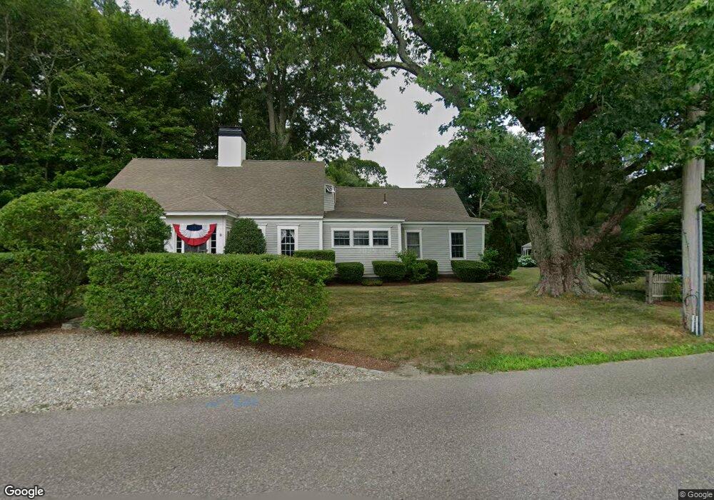
295 Parks St Duxbury, MA 02332
Estimated Value: $1,117,134 - $1,227,000
3
Beds
2
Baths
1,940
Sq Ft
$616/Sq Ft
Est. Value
About This Home
This home is located at 295 Parks St, Duxbury, MA 02332 and is currently estimated at $1,195,284, approximately $616 per square foot. 295 Parks St is a home located in Plymouth County with nearby schools including Chandler Elementary School, Alden School, and Duxbury Middle School.
Ownership History
Date
Name
Owned For
Owner Type
Purchase Details
Closed on
May 21, 2024
Sold by
Dunpy Richard G and Dunpy Deborah C
Bought by
Dunpy Deborah C
Current Estimated Value
Purchase Details
Closed on
Jul 29, 2005
Sold by
Johnson William J and Johnson Jeanne A
Bought by
Dunphy Richard G and Dunphy Deborah C
Purchase Details
Closed on
Dec 27, 1996
Sold by
Smith Nathaniel B
Bought by
Johnson William J and Johnson Jeanne E
Create a Home Valuation Report for This Property
The Home Valuation Report is an in-depth analysis detailing your home's value as well as a comparison with similar homes in the area
Home Values in the Area
Average Home Value in this Area
Purchase History
| Date | Buyer | Sale Price | Title Company |
|---|---|---|---|
| Dunpy Deborah C | -- | None Available | |
| Dunpy Deborah C | -- | None Available | |
| Dunphy Richard G | $544,900 | -- | |
| Johnson William J | $250,000 | -- | |
| Dunphy Richard G | $544,900 | -- | |
| Johnson William J | $250,000 | -- |
Source: Public Records
Mortgage History
| Date | Status | Borrower | Loan Amount |
|---|---|---|---|
| Previous Owner | Johnson William J | $372,025 |
Source: Public Records
Tax History Compared to Growth
Tax History
| Year | Tax Paid | Tax Assessment Tax Assessment Total Assessment is a certain percentage of the fair market value that is determined by local assessors to be the total taxable value of land and additions on the property. | Land | Improvement |
|---|---|---|---|---|
| 2025 | $9,924 | $978,700 | $487,400 | $491,300 |
| 2024 | $8,305 | $825,500 | $347,400 | $478,100 |
| 2023 | $8,842 | $827,100 | $361,400 | $465,700 |
| 2022 | $9,236 | $719,300 | $298,500 | $420,800 |
| 2021 | $9,690 | $669,200 | $248,100 | $421,100 |
| 2020 | $9,630 | $656,900 | $249,800 | $407,100 |
| 2019 | $9,113 | $620,800 | $208,300 | $412,500 |
| 2018 | $9,190 | $606,200 | $193,700 | $412,500 |
| 2017 | $9,013 | $581,100 | $180,900 | $400,200 |
| 2016 | $9,036 | $581,100 | $180,900 | $400,200 |
| 2015 | $8,706 | $558,100 | $157,900 | $400,200 |
Source: Public Records
Map
Nearby Homes
- 53 Bay Farm Rd Unit 53
- 19 Flint Locke Dr
- 40 Bay Farm Rd Unit 40
- 65 Tussock Brook Rd
- 6 Priscilla Rd
- 735 Bay Rd
- 80 Parks St Unit 5
- 80 Parks St Unit 6
- 30 Cushing Dr
- 59 Priscilla Ave
- 117 Soule Ave
- 24 Tremont St
- 37 Tarkiln Rd
- 1 Tarkiln Rd
- 10 Summerhouse Ln
- 197 Off Tarkiln Rd
- 20 Island Creek Rd
- 94 Buckboard Rd
- 3 Jones River Dr
- 35 River St
- 151 Tremont St
- 277 Parks St
- 280 Parks St
- 160 Tremont St
- 155 Tremont St
- 136 Tremont St
- 268 Parks St
- 126 Tremont St
- 20 Baileys Cir
- 116 Tremont St
- 116 Tremont St
- 116 Tremont St Unit 203-204
- 116 Tremont St Unit 202
- 116 Tremont St Unit 201-204
- 10 Baileys Cir
- 262 Parks St
- 167 Tremont St
- 104 Tremont St Unit 5
- 104 Tremont St Unit 2
- 104 Tremont St