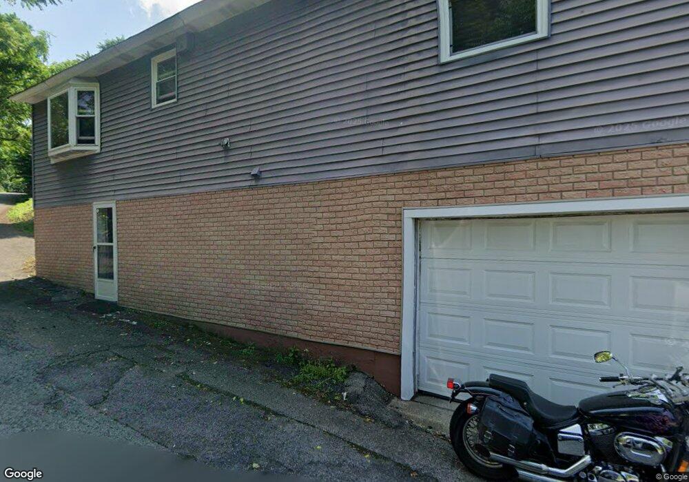
295 Sherman Ave Vandergrift, PA 15690
Estimated Value: $82,000 - $158,000
3
Beds
2
Baths
1,380
Sq Ft
$77/Sq Ft
Est. Value
About This Home
This home is located at 295 Sherman Ave, Vandergrift, PA 15690 and is currently estimated at $106,949, approximately $77 per square foot. 295 Sherman Ave is a home located in Westmoreland County with nearby schools including Kiski Area High School.
Ownership History
Date
Name
Owned For
Owner Type
Purchase Details
Closed on
May 25, 2011
Sold by
Moore Chuck
Bought by
Federal National Mortgage Association
Current Estimated Value
Purchase Details
Closed on
Nov 22, 2008
Sold by
Stone Donald R and Stone Mary
Bought by
Stone Mary
Home Financials for this Owner
Home Financials are based on the most recent Mortgage that was taken out on this home.
Original Mortgage
$93,000
Interest Rate
2.62%
Mortgage Type
Reverse Mortgage Home Equity Conversion Mortgage
Create a Home Valuation Report for This Property
The Home Valuation Report is an in-depth analysis detailing your home's value as well as a comparison with similar homes in the area
Home Values in the Area
Average Home Value in this Area
Purchase History
| Date | Buyer | Sale Price | Title Company |
|---|---|---|---|
| Federal National Mortgage Association | $2,316 | None Available | |
| Stone Mary | -- | None Available |
Source: Public Records
Mortgage History
| Date | Status | Borrower | Loan Amount |
|---|---|---|---|
| Previous Owner | Stone Mary | $93,000 |
Source: Public Records
Tax History Compared to Growth
Tax History
| Year | Tax Paid | Tax Assessment Tax Assessment Total Assessment is a certain percentage of the fair market value that is determined by local assessors to be the total taxable value of land and additions on the property. | Land | Improvement |
|---|---|---|---|---|
| 2025 | $2,580 | $15,810 | $1,390 | $14,420 |
| 2024 | $2,457 | $15,810 | $1,390 | $14,420 |
| 2023 | $2,262 | $15,810 | $1,390 | $14,420 |
| 2022 | $2,215 | $15,810 | $1,390 | $14,420 |
| 2021 | $2,215 | $15,810 | $1,390 | $14,420 |
| 2020 | $2,210 | $15,810 | $1,390 | $14,420 |
| 2019 | $2,202 | $15,810 | $1,390 | $14,420 |
| 2018 | $2,170 | $15,810 | $1,390 | $14,420 |
| 2017 | $2,123 | $15,810 | $1,390 | $14,420 |
| 2016 | $2,094 | $15,810 | $1,390 | $14,420 |
| 2015 | $2,094 | $15,810 | $1,390 | $14,420 |
| 2014 | $2,084 | $15,810 | $1,390 | $14,420 |
Source: Public Records
Map
Nearby Homes
- 129 Franklin Ave
- 121 Hamilton Ave
- 219 Quay St
- 154 Jefferson Ave Unit 6
- 1116 Grant St
- 112 Farragut Ave Unit 3
- 137 Sherman Ave
- 133 Sherman Ave
- 107 Sumner Ave
- 325 -1/2 Quay St
- 419 Vandergrift Ln
- 1252 Jefferson St
- 1805 Moore Ave
- 404 1/2 Franklin Ave
- 2106 River Rd
- 608 Kennedy Ave
- 716 Kennedy Ave
- 1212 Gravel Bar Rd
- 311 Elm St
- 712 16th St
- 297 Sherman Ave
- 293 Sherman Ave
- 299 Sherman Ave
- 289 Sherman Ave Unit 291
- 303 Sherman Ave
- 101 Franklin Ave
- 286 Sherman Ave
- 288 Sherman Ave
- 284 Sherman Ave
- 111 Franklin Ave
- 113 Franklin Ave
- 282 Sherman Ave
- 115 Franklin Ave
- 115 Franklin Ave
- 100 Franklin Ave
- 280 Sherman Ave
- 117 Franklin Ave
- 102 Franklin Ave
- 281 Sherman Ave
- 108 Franklin Ave