295 Walthour Rd Midway, GA 31320
Estimated Value: $145,000 - $224,000
3
Beds
1
Bath
1,300
Sq Ft
$149/Sq Ft
Est. Value
About This Home
This home is located at 295 Walthour Rd, Midway, GA 31320 and is currently estimated at $194,218, approximately $149 per square foot. 295 Walthour Rd is a home located in Liberty County with nearby schools including Liberty Elementary School, Midway Middle School, and Liberty County High School.
Ownership History
Date
Name
Owned For
Owner Type
Purchase Details
Closed on
Mar 11, 2011
Sold by
Walter Mortgage Company
Bought by
Clarke Wilhemenia
Current Estimated Value
Purchase Details
Closed on
Jan 4, 2011
Sold by
Robinson Claire
Bought by
Walter Mortgage Company Llc
Purchase Details
Closed on
Jul 31, 1997
Sold by
Roberts Claire E
Bought by
Robinson Claire R
Purchase Details
Closed on
Jan 1, 1968
Bought by
Walthour William M
Create a Home Valuation Report for This Property
The Home Valuation Report is an in-depth analysis detailing your home's value as well as a comparison with similar homes in the area
Home Values in the Area
Average Home Value in this Area
Purchase History
| Date | Buyer | Sale Price | Title Company |
|---|---|---|---|
| Clarke Wilhemenia | $56,000 | -- | |
| Walter Mortgage Company Llc | $117,186 | -- | |
| Robinson Claire R | -- | -- | |
| Roberts Claire E | -- | -- | |
| Walthour William M | -- | -- |
Source: Public Records
Tax History Compared to Growth
Tax History
| Year | Tax Paid | Tax Assessment Tax Assessment Total Assessment is a certain percentage of the fair market value that is determined by local assessors to be the total taxable value of land and additions on the property. | Land | Improvement |
|---|---|---|---|---|
| 2024 | $2,461 | $55,318 | $3,966 | $51,352 |
| 2023 | $2,461 | $49,636 | $3,966 | $45,670 |
| 2022 | $1,733 | $40,514 | $3,966 | $36,548 |
| 2021 | $1,569 | $36,390 | $3,966 | $32,424 |
| 2020 | $1,578 | $36,736 | $3,966 | $32,770 |
| 2019 | $1,554 | $37,081 | $3,966 | $33,115 |
| 2018 | $1,550 | $37,426 | $3,966 | $33,460 |
| 2017 | $1,244 | $37,772 | $3,966 | $33,806 |
| 2016 | $1,478 | $38,116 | $3,966 | $34,151 |
| 2015 | $1,509 | $36,780 | $3,190 | $33,590 |
| 2014 | $1,509 | $38,596 | $3,190 | $35,406 |
Source: Public Records
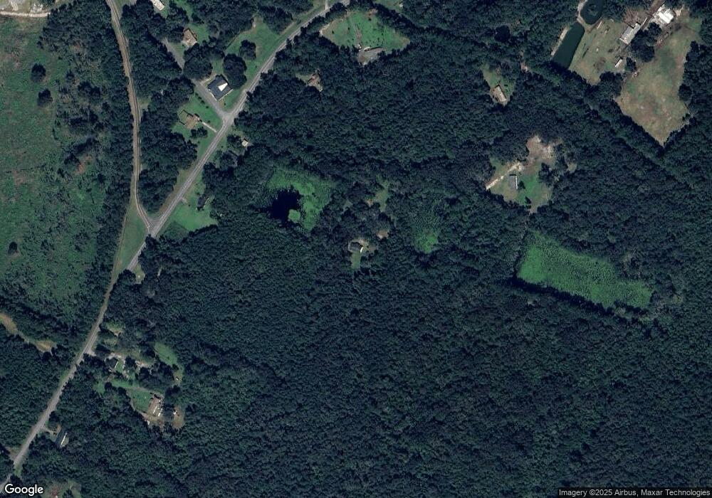
Map
Nearby Homes
- 218 Shade Tree Dr
- 176 Dave Williams Rd
- 7337 E Oglethorpe Hwy
- 266 River Bend Dr
- 9 Ashlynn Ln
- 327 River Bend Dr
- 124 Denham Ln
- 124 Denham Ln
- 0 E Oglethorpe Unit 10592168
- 0 E Oglethorpe Unit SA333651
- 0 E Oglethorpe Unit 153327
- 6223 E Oglethorpe Hwy
- 6228 E Oglethorpe Hwy
- 90 Charleston Ct
- 1979 S Coastal Hwy
- 0000 E Oglethorpe Hwy
- 182 Gloucester Dr
- 1123 Stone Ct
- 984 Stone Ct
- 334 Isaac Stevens Rd
- 1440 Lewis Frasier Rd
- 1433 Lewis Frasier Rd
- 1388 Lewis Frasier Rd
- 1486 Lewis Frasier Rd
- 107 Walthour Rd
- 69 Bill Carter Rd
- Lot 6 Hiram Ray Rd
- 1332 Lewis Frasier Rd
- 1483 Lewis Frasier Rd
- 284 Walthour Rd
- 14 Walthour Rd
- 1273 Lewis Frasier Rd
- 1206 Lewis Frasier Rd
- 1622 Lewis Frasier Rd
- 1176 Lewis Frasier Rd
- 1634 Lewis Frasier Rd
- 1646 Lewis Frasier Rd
- 1106 Lewis Frasier Rd
- 000 Bill Carter Rd
- 1157 Lewis Frasier Rd