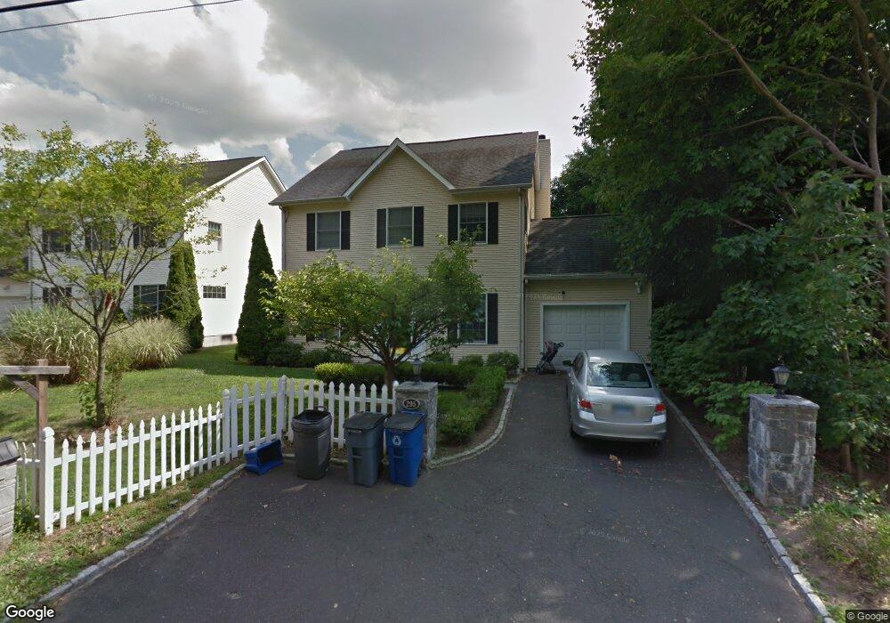
295 West Ave Darien, CT 06820
Estimated Value: $1,493,000 - $1,833,000
4
Beds
3
Baths
2,170
Sq Ft
$777/Sq Ft
Est. Value
About This Home
This home is located at 295 West Ave, Darien, CT 06820 and is currently estimated at $1,686,079, approximately $776 per square foot. 295 West Ave is a home located in Fairfield County with nearby schools including Holmes Elementary School, Middlesex Middle School, and Darien High School.
Ownership History
Date
Name
Owned For
Owner Type
Purchase Details
Closed on
Aug 31, 2009
Sold by
Poteroba Igor and Poteroba Maria
Bought by
Gorodnitsky Yakov and Tchernoff Rebecca
Current Estimated Value
Home Financials for this Owner
Home Financials are based on the most recent Mortgage that was taken out on this home.
Original Mortgage
$644,000
Interest Rate
5.17%
Purchase Details
Closed on
May 15, 2006
Sold by
Tabaschek Walter M and Tabaschek Maria
Bought by
Poteroba Igor and Poteroba Maria
Purchase Details
Closed on
Dec 12, 2000
Sold by
Bandp Trusts Llc
Bought by
Tabaschek Walter and Tabaschet Maria
Create a Home Valuation Report for This Property
The Home Valuation Report is an in-depth analysis detailing your home's value as well as a comparison with similar homes in the area
Home Values in the Area
Average Home Value in this Area
Purchase History
| Date | Buyer | Sale Price | Title Company |
|---|---|---|---|
| Gorodnitsky Yakov | $805,000 | -- | |
| Poteroba Igor | $875,000 | -- | |
| Tabaschek Walter | $585,000 | -- |
Source: Public Records
Mortgage History
| Date | Status | Borrower | Loan Amount |
|---|---|---|---|
| Open | Tabaschek Walter | $525,000 | |
| Closed | Tabaschek Walter | $640,000 | |
| Closed | Tabaschek Walter | $644,000 |
Source: Public Records
Tax History
| Year | Tax Paid | Tax Assessment Tax Assessment Total Assessment is a certain percentage of the fair market value that is determined by local assessors to be the total taxable value of land and additions on the property. | Land | Improvement |
|---|---|---|---|---|
| 2025 | $12,208 | $788,620 | $374,990 | $413,630 |
| 2024 | $11,146 | $758,730 | $374,990 | $383,740 |
| 2023 | $10,821 | $614,460 | $357,140 | $257,320 |
| 2022 | $10,587 | $614,460 | $357,140 | $257,320 |
| 2021 | $4,826 | $614,460 | $357,140 | $257,320 |
| 2020 | $10,053 | $614,460 | $357,140 | $257,320 |
| 2019 | $10,120 | $614,460 | $357,140 | $257,320 |
| 2018 | $9,342 | $581,000 | $277,550 | $303,450 |
| 2017 | $5,253 | $581,000 | $277,550 | $303,450 |
| 2016 | $9,162 | $581,000 | $277,550 | $303,450 |
| 2015 | $8,918 | $581,000 | $277,550 | $303,450 |
| 2014 | $8,672 | $577,780 | $275,730 | $302,050 |
Source: Public Records
Map
Nearby Homes
- 166 Hollow Tree Ridge Rd
- 167 Hollow Tree Ridge Rd
- 11 Patton Dr
- 15 Charles St
- 77 Maple St
- 12 Walmsley Rd
- 29 Walmsley Rd
- 66 Stanton Rd
- 32 Relihan Rd
- 16 Fairfield Ave
- 19 Thomasina Ln
- 43 Dubois St
- 3 Revere Rd
- 3 Salt Box Ln E
- 5 Shields Ln
- 25 Devon Rd
- 25 Hillside Ave
- 3 Hickory Ln
- 22 Radio Place Unit 10
- 12 Libby Ln
- 297 West Ave
- 293 West Ave
- 291 West Ave
- 172 Hollow Tree Ridge Rd
- 170 Hollow Tree Ridge Rd
- 340 Heights Rd Unit 319
- 340 Heights Rd Unit 320
- 340 Heights Rd Unit 313
- 340 Heights Rd Unit 302
- 340 Heights Rd Unit 305
- 340 Heights Rd Unit 321
- 340 Heights Rd Unit 310
- 340 Heights Rd Unit 308
- 340 Heights Rd Unit 304
- 340 Heights Rd Unit 209
- 340 Heights Rd Unit 312
- 340 Heights Rd Unit 309
- 340 Heights Rd Unit 213
- 340 Heights Rd Unit 205
- 340 Heights Rd Unit 211
Your Personal Tour Guide
Ask me questions while you tour the home.