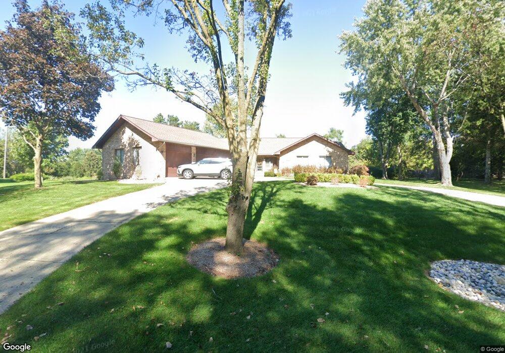
2950 Arrowood Ct Unit Bldg-Unit Rochester Hills, MI 48309
Estimated Value: $515,000 - $565,029
3
Beds
4
Baths
2,320
Sq Ft
$236/Sq Ft
Est. Value
About This Home
This home is located at 2950 Arrowood Ct Unit Bldg-Unit, Rochester Hills, MI 48309 and is currently estimated at $547,007, approximately $235 per square foot. 2950 Arrowood Ct Unit Bldg-Unit is a home located in Oakland County with nearby schools including Long Meadow Elementary School, West Middle School, and Rochester Adams High School.
Ownership History
Date
Name
Owned For
Owner Type
Purchase Details
Closed on
May 18, 2022
Sold by
Meier and Elizabeth
Bought by
Meier Patrick and Meier Patrick
Current Estimated Value
Purchase Details
Closed on
Jan 11, 2019
Sold by
Leinonen Gary D and Leinonen Cathy J
Bought by
Meier Patrick and Meier Elizabeth
Home Financials for this Owner
Home Financials are based on the most recent Mortgage that was taken out on this home.
Original Mortgage
$288,000
Interest Rate
4.6%
Mortgage Type
New Conventional
Create a Home Valuation Report for This Property
The Home Valuation Report is an in-depth analysis detailing your home's value as well as a comparison with similar homes in the area
Home Values in the Area
Average Home Value in this Area
Purchase History
| Date | Buyer | Sale Price | Title Company |
|---|---|---|---|
| Meier Patrick | -- | Land Title | |
| Meier Patrick | -- | Land Title | |
| Meier Patrick | $360,000 | None Available |
Source: Public Records
Mortgage History
| Date | Status | Borrower | Loan Amount |
|---|---|---|---|
| Previous Owner | Meier Patrick | $288,000 |
Source: Public Records
Tax History Compared to Growth
Tax History
| Year | Tax Paid | Tax Assessment Tax Assessment Total Assessment is a certain percentage of the fair market value that is determined by local assessors to be the total taxable value of land and additions on the property. | Land | Improvement |
|---|---|---|---|---|
| 2022 | $3,226 | $185,180 | $0 | $0 |
| 2018 | $4,410 | $162,530 | $0 | $0 |
| 2017 | $4,324 | $162,530 | $0 | $0 |
| 2015 | -- | $154,270 | $0 | $0 |
| 2014 | -- | $134,000 | $0 | $0 |
| 2011 | -- | $127,130 | $0 | $0 |
Source: Public Records
Map
Nearby Homes
- 585 Timberline Dr
- 842 Timberline Dr
- 753 Medinah Dr
- 404 Shellbourne Dr
- 423 Silvervale Dr
- 1102 Cobridge Dr
- 391 Silvervale Dr
- 360 Fordcroft Dr
- 3333 Walton Blvd
- 144 W Maryknoll Rd
- 87 E Maryknoll Rd
- 159 E Maryknoll Rd
- 3879 Teakwood Ln
- 2270 Walton Blvd
- 5555 Walton Blvd
- 7777 Walton Blvd
- 3377 Charlwood Dr
- 65 Stratford Ln
- 2311 Walton Blvd Unit 40
- 2377 Walton Blvd Unit 15
- 2950 Arrowood Ct
- 2900 Arrowood Ct
- 500 N Adams Rd
- 500 N Adams Rd
- 564 Rolling Green Cir N
- 572 Rolling Green Cir N
- 556 Rolling Green Cir N
- 580 Rolling Green Cir N
- 2875 Arrowood Ct
- 548 Rolling Green Cir N
- 600 Rolling Green Cir N
- 2998 Powderhorn Ridge Rd
- 2982 Powderhorn Ridge Rd
- 2982 Powderhorn
- 540 Rolling Green Cir N
- 2970 Powderhorn Ridge Rd
- 608 Rolling Green Cir N
- 532 Rolling Green Cir N
- 2958 Powderhorn Ridge Rd
- 2946 Powderhorn Ridge Rd