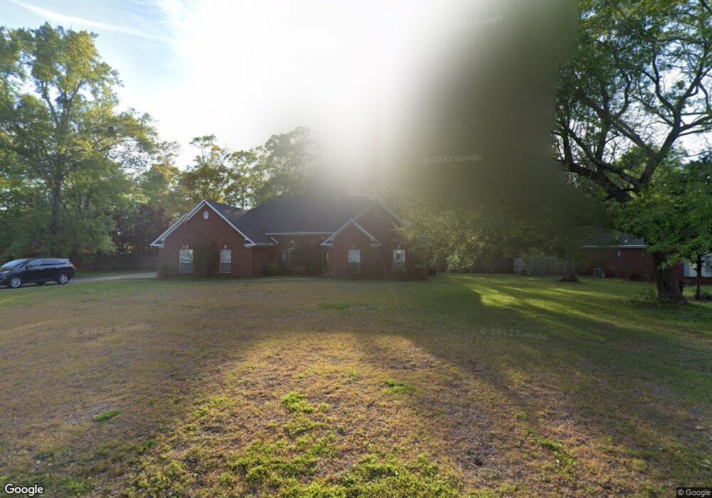
2950 Branson Rd W Mobile, AL 36695
Outer West Mobile NeighborhoodEstimated Value: $300,715 - $441,000
3
Beds
2
Baths
2,795
Sq Ft
$130/Sq Ft
Est. Value
About This Home
This home is located at 2950 Branson Rd W, Mobile, AL 36695 and is currently estimated at $363,929, approximately $130 per square foot. 2950 Branson Rd W is a home located in Mobile County with nearby schools including Hutchens Elementary School, Dawes Intermediate School, and Bernice J Causey Middle School.
Ownership History
Date
Name
Owned For
Owner Type
Purchase Details
Closed on
Jun 15, 2000
Sold by
Coastal Enterprises Inc
Bought by
Hamilton Eldrid L and Hamilton Jan J
Current Estimated Value
Home Financials for this Owner
Home Financials are based on the most recent Mortgage that was taken out on this home.
Original Mortgage
$24,565
Outstanding Balance
$8,313
Interest Rate
8.27%
Estimated Equity
$355,616
Create a Home Valuation Report for This Property
The Home Valuation Report is an in-depth analysis detailing your home's value as well as a comparison with similar homes in the area
Home Values in the Area
Average Home Value in this Area
Purchase History
| Date | Buyer | Sale Price | Title Company |
|---|---|---|---|
| Hamilton Eldrid L | -- | -- |
Source: Public Records
Mortgage History
| Date | Status | Borrower | Loan Amount |
|---|---|---|---|
| Open | Hamilton Eldrid L | $24,565 |
Source: Public Records
Tax History
| Year | Tax Paid | Tax Assessment Tax Assessment Total Assessment is a certain percentage of the fair market value that is determined by local assessors to be the total taxable value of land and additions on the property. | Land | Improvement |
|---|---|---|---|---|
| 2025 | $1,411 | $29,320 | $4,000 | $25,320 |
| 2024 | $1,411 | $27,140 | $4,000 | $23,140 |
| 2023 | $1,319 | $24,350 | $4,000 | $20,350 |
| 2022 | $1,020 | $22,410 | $4,000 | $18,410 |
| 2021 | $1,031 | $22,640 | $4,000 | $18,640 |
| 2020 | $965 | $21,280 | $4,000 | $17,280 |
| 2019 | $967 | $21,320 | $0 | $0 |
| 2018 | $987 | $21,740 | $0 | $0 |
| 2017 | $1,057 | $21,740 | $0 | $0 |
| 2016 | $998 | $21,960 | $0 | $0 |
| 2013 | $1,146 | $24,060 | $0 | $0 |
Source: Public Records
Map
Nearby Homes
- 2978 Branson Park Ct
- 0 Newman Rd Unit 25399577
- 0 Newman Rd Unit 7652668
- 0 Newman Rd Unit 7670125
- 0 Newman Rd Unit 25537843
- 12171 Yancey Glen Dr
- 3137 Busby Rd
- 13045 Oak Forge Dr
- 3221 Deer Crest Ct
- 13163 Buckthorn Ct
- 13346 Deer Crest Ln
- 13205 Hackberry Dr
- 2865 Barlett Dr
- 3397 Deer Crest Dr
- 0 Lakefront Dr Unit 7716851
- 2995 Barlett Dr
- 2750 Oakridge West Dr
- 3761 Lakefront Dr
- 3770 Lakefront Dr
- 3835 Lakefront Dr W
- 2930 Branson Rd W
- 2970 Branson Rd W
- 2975 Branson Ct E
- 2910 Branson Rd W
- 2965 Branson Ct E
- 2945 Branson Rd W
- 2990 Branson Rd W
- 2925 Branson Rd W
- 2965 Branson Rd W
- 2995 Branson Ct E
- 2890 Branson Rd W
- 2915 Branson Rd W
- 2985 Branson Rd W
- 3010 Branson Rd W
- 12540 Branson Ln
- 12540 Branson Rd Unit 21
- 2980 Branson Ct E
- 0 Branson Ct E Unit 14 0186436
- 0 Branson Ct E Unit 5 0610531
- 12437 Branson Rd N
Your Personal Tour Guide
Ask me questions while you tour the home.