Estimated Value: $196,000 - $227,933
3
Beds
2
Baths
1,372
Sq Ft
$159/Sq Ft
Est. Value
About This Home
This home is located at 2950 Matthew Rd, Niles, MI 49120 and is currently estimated at $217,983, approximately $158 per square foot. 2950 Matthew Rd is a home located in Berrien County with nearby schools including Ottawa Elementary School, Moccasin Elementary School, and Buchanan Middle School.
Ownership History
Date
Name
Owned For
Owner Type
Purchase Details
Closed on
Nov 9, 2015
Sold by
Camp Donald L and Camp Hazel M
Bought by
Camp Korey J and Camp Jaclyn M
Current Estimated Value
Home Financials for this Owner
Home Financials are based on the most recent Mortgage that was taken out on this home.
Original Mortgage
$77,600
Interest Rate
2.95%
Mortgage Type
New Conventional
Purchase Details
Closed on
Nov 21, 2005
Sold by
Camp Donald L and Camp Hazel M
Bought by
Camp Donald L and Camp Hazel M
Create a Home Valuation Report for This Property
The Home Valuation Report is an in-depth analysis detailing your home's value as well as a comparison with similar homes in the area
Home Values in the Area
Average Home Value in this Area
Purchase History
| Date | Buyer | Sale Price | Title Company |
|---|---|---|---|
| Camp Korey J | $80,000 | Attorney | |
| Camp Donald L | -- | None Available |
Source: Public Records
Mortgage History
| Date | Status | Borrower | Loan Amount |
|---|---|---|---|
| Closed | Camp Korey J | $77,600 |
Source: Public Records
Tax History Compared to Growth
Tax History
| Year | Tax Paid | Tax Assessment Tax Assessment Total Assessment is a certain percentage of the fair market value that is determined by local assessors to be the total taxable value of land and additions on the property. | Land | Improvement |
|---|---|---|---|---|
| 2025 | $1,469 | $90,300 | $0 | $0 |
| 2024 | $575 | $71,800 | $0 | $0 |
| 2023 | $548 | $61,000 | $0 | $0 |
| 2022 | $521 | $54,000 | $0 | $0 |
| 2021 | $1,262 | $50,700 | $9,000 | $41,700 |
| 2020 | $1,246 | $46,900 | $0 | $0 |
| 2019 | $1,223 | $44,400 | $9,000 | $35,400 |
| 2018 | $1,619 | $44,400 | $0 | $0 |
| 2017 | $1,184 | $43,400 | $0 | $0 |
| 2016 | $1,190 | $43,500 | $0 | $0 |
| 2015 | $1,067 | $41,100 | $0 | $0 |
| 2014 | $412 | $38,700 | $0 | $0 |
Source: Public Records
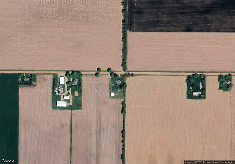
Map
Nearby Homes
- 4336 Hills Haven Rd
- 00 Herman Rd
- 12690 N Red Bud Trail
- 3119 N US Highway 31
- 2919 N Us Highway 31
- 4331 E Lake Chapin Rd
- 2724 N Us Highway 31
- Elements 2390 Plan at Kantorberry Trails South - Elements
- Integrity 1530 Plan at Kantorberry Trails South
- Integrity 2000 Plan at Kantorberry Trails South
- Integrity 1250 Plan at Kantorberry Trails South
- Integrity 1520 Plan at Kantorberry Trails South
- Integrity 1560 Plan at Kantorberry Trails South
- Integrity 2190 Plan at Kantorberry Trails South
- Integrity 1610 Plan at Kantorberry Trails South
- Integrity 1910 Plan at Kantorberry Trails South
- Elements 2200 Plan at Kantorberry Trails South - Elements
- Elements 1870 Plan at Kantorberry Trails South - Elements
- Elements 2100 Plan at Kantorberry Trails South - Elements
- Elements 2090 Plan at Kantorberry Trails South - Elements
- 3030 Matthew Rd
- 2900 Matthew Rd
- 13108 Range Line Rd
- 2830 Matthew Rd
- 0 Range Line Rd
- 4875 Lake Chapin Rd
- 2820 Matthew Rd
- 12835 Range Line Rd
- 13448 Range Line Rd
- 12821 Range Line Rd
- 4662 Lake Chapin Rd
- 13620 Range Line Rd
- 4561 Range Line Rd
- Parcel ''B Range Line Rd
- 0 Range Line Rd
- Parcel ''A Range Line Rd
- 12662 Range Line Rd
- 2809 Matthew Rd
- 13620 Range Line Rd
- 12660 Range Line Rd