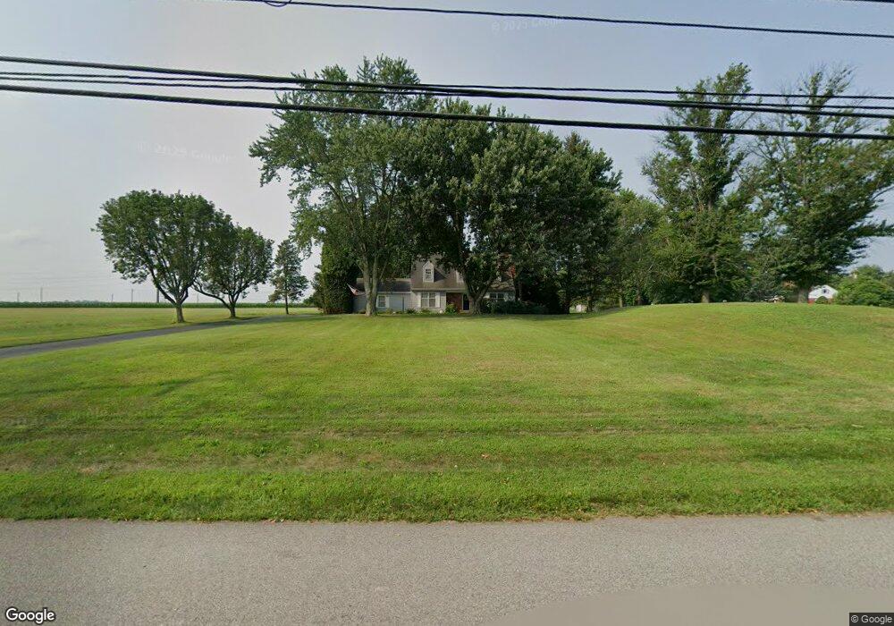
2950 Morris Rd Lansdale, PA 19446
Estimated Value: $734,000 - $818,000
3
Beds
3
Baths
3,354
Sq Ft
$231/Sq Ft
Est. Value
About This Home
This home is located at 2950 Morris Rd, Lansdale, PA 19446 and is currently estimated at $775,423, approximately $231 per square foot. 2950 Morris Rd is a home located in Montgomery County with nearby schools including Worcester Elementary School, Skyview Upper Elementary School, and Arcola Intermediate School.
Ownership History
Date
Name
Owned For
Owner Type
Purchase Details
Closed on
Feb 2, 2012
Sold by
Ottaviano Joseph Louis and Ottaviano Nancy Eileen
Bought by
Ottaviano Nancy E and Joseph L & Nancy E Ottaviano Living Tr
Current Estimated Value
Purchase Details
Closed on
Jul 26, 1997
Sold by
Anton Nancy E and Ottaviano Nancy E
Bought by
Ottaviano Joseph Louis and Ottaviano Nancy E
Create a Home Valuation Report for This Property
The Home Valuation Report is an in-depth analysis detailing your home's value as well as a comparison with similar homes in the area
Home Values in the Area
Average Home Value in this Area
Purchase History
| Date | Buyer | Sale Price | Title Company |
|---|---|---|---|
| Ottaviano Nancy E | -- | None Available | |
| Ottaviano Joseph Louis | -- | -- |
Source: Public Records
Tax History Compared to Growth
Tax History
| Year | Tax Paid | Tax Assessment Tax Assessment Total Assessment is a certain percentage of the fair market value that is determined by local assessors to be the total taxable value of land and additions on the property. | Land | Improvement |
|---|---|---|---|---|
| 2025 | $8,210 | $216,740 | -- | -- |
| 2024 | $8,210 | $216,740 | -- | -- |
| 2023 | $7,874 | $216,740 | $0 | $0 |
| 2022 | $7,722 | $216,740 | $0 | $0 |
| 2021 | $7,570 | $216,740 | $0 | $0 |
| 2020 | $7,429 | $216,740 | $0 | $0 |
| 2019 | $7,357 | $216,740 | $0 | $0 |
| 2018 | $820 | $210,070 | $66,220 | $143,850 |
| 2017 | $6,856 | $210,070 | $66,220 | $143,850 |
| 2016 | $6,775 | $210,070 | $66,220 | $143,850 |
| 2015 | $6,534 | $210,070 | $66,220 | $143,850 |
| 2014 | $6,534 | $210,070 | $66,220 | $143,850 |
Source: Public Records
Map
Nearby Homes
- 1939 Penngrove Terrace
- 2806 Morris Rd
- 937 General Nash Dr
- 2203 Weber Rd
- 1825 Flintlock Cir
- 4 Anglesey
- 210 Berwick Place Unit 20E
- 1653 Bridle Path Dr
- 1625 Clearbrook Rd
- 1116 Dogwood Ct
- 803 Poplar Ct
- 1401 Oak Cir
- 641 Jones Ave
- 2725 Skippack Pike
- 643 Jones Ave
- 645 Jones Ave
- 984 Independence Ln Unit 13
- 2696 Capri Ln
- 10 Wheatley Walk
- 1811 Hollow Rd
- 2270 S Valley Forge Rd
- 1978 Penngrove Terrace
- 2039 Ryans Run
- 1980 Penngrove Terrace
- 2037 Ryans Run
- 2035 Ryans Run
- 1982 Penngrove Terrace
- 2046 Ryans Run
- 2044 Ryans Run
- 2033 Ryans Run
- 1984 Penngrove Terrace
- 2042 Ryans Run
- 1974 Penngrove Terrace
- 1976 Penngrove Terrace
- 2040 Ryans Run
- 2031 Ryans Run
- 957 Morris Rd
- 1986 Penngrove Terrace
- 2038 Ryans Run
- 1972 Penngrove Terrace