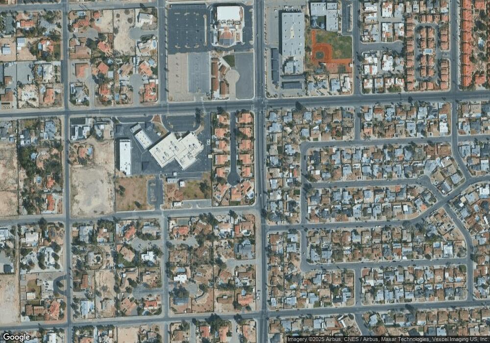
2950 Sean Darin Cir Las Vegas, NV 89146
Estimated Value: $460,000 - $610,000
3
Beds
2
Baths
2,011
Sq Ft
$266/Sq Ft
Est. Value
About This Home
This home is located at 2950 Sean Darin Cir, Las Vegas, NV 89146 and is currently estimated at $535,064, approximately $266 per square foot. 2950 Sean Darin Cir is a home located in Clark County with nearby schools including Elaine Wynn Elementary School, Dr. C Owen Roundy Elementary School, and Kenny C Guinn Middle School.
Ownership History
Date
Name
Owned For
Owner Type
Purchase Details
Closed on
Oct 6, 2021
Sold by
Preston Randal W and Osborn Preston Christia
Bought by
Preston Randal W and Osborn Preston Christia
Current Estimated Value
Purchase Details
Closed on
May 24, 2001
Sold by
Laubacher Ruth
Bought by
Preston Randal W and Osborn Preston Christia A
Home Financials for this Owner
Home Financials are based on the most recent Mortgage that was taken out on this home.
Original Mortgage
$179,100
Outstanding Balance
$67,420
Interest Rate
7.14%
Estimated Equity
$467,644
Create a Home Valuation Report for This Property
The Home Valuation Report is an in-depth analysis detailing your home's value as well as a comparison with similar homes in the area
Home Values in the Area
Average Home Value in this Area
Purchase History
| Date | Buyer | Sale Price | Title Company |
|---|---|---|---|
| Preston Randal W | -- | None Available | |
| Preston Randal W | -- | None Available | |
| Preston Randal W | $199,000 | Fidelity National Title |
Source: Public Records
Mortgage History
| Date | Status | Borrower | Loan Amount |
|---|---|---|---|
| Open | Preston Randal W | $179,100 |
Source: Public Records
Tax History Compared to Growth
Tax History
| Year | Tax Paid | Tax Assessment Tax Assessment Total Assessment is a certain percentage of the fair market value that is determined by local assessors to be the total taxable value of land and additions on the property. | Land | Improvement |
|---|---|---|---|---|
| 2025 | $2,151 | $106,292 | $49,000 | $57,292 |
| 2024 | $2,089 | $106,292 | $49,000 | $57,292 |
| 2023 | $2,089 | $96,210 | $40,950 | $55,260 |
| 2022 | $2,029 | $85,322 | $34,300 | $51,022 |
| 2021 | $1,970 | $83,296 | $34,300 | $48,996 |
| 2020 | $1,909 | $75,560 | $26,600 | $48,960 |
| 2019 | $1,854 | $75,077 | $26,600 | $48,477 |
| 2018 | $1,800 | $69,418 | $22,400 | $47,018 |
| 2017 | $1,992 | $67,911 | $19,950 | $47,961 |
| 2016 | $1,705 | $58,413 | $8,750 | $49,663 |
| 2015 | $1,701 | $56,261 | $7,000 | $49,261 |
| 2014 | $1,651 | $56,692 | $7,000 | $49,692 |
Source: Public Records
Map
Nearby Homes
- 3090 Westwind Rd
- 5785 Edna Ave
- 0 Palmyra Unit 2715168
- 3085 Duneville St
- 5895 Coley Ave
- 3070 Edmond St
- 5175 Palmyra Ave
- 2675 Westwind Rd
- 2814 Edmond St Unit 2
- 3212 Moonflower Dr
- 5151 Golden Spring Ave
- 5048 Via de Palma Dr
- 3214 Anacapa Way
- 5181 Eldora Ave
- 2625 Westwind Rd
- 5030 Schumann Dr
- 2691 Rimpacific Cir
- 5820 W Desert Inn Rd
- 3372 Westwind Rd
- 2643 Red Rock St Unit 201
- 2940 Sean Darin Cir
- 2960 Sean Darin Cir
- 2951 Sean Darin Cir
- 2941 Sean Darin Cir
- 2930 Sean Darin Cir
- 2970 Sean Darin Cir
- 2961 Sean Darin Cir
- 2964 Lindell Rd
- 2931 Sean Darin Cir
- 2984 Lindell Rd
- 2944 Lindell Rd
- 2994 Lindell Rd
- 2920 Sean Darin Cir
- 2921 Sean Darin Cir
- 2934 Lindell Rd Unit na
- 2934 Lindell Rd
- 3004 Lindell Rd
- 2973 Wrangler St
- 2963 Wrangler St
- 2983 Wrangler St
