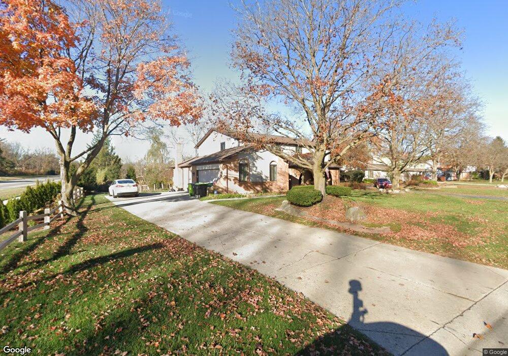
29509 Mayfair Dr Unit Bldg-Unit Farmington Hills, MI 48331
Estimated Value: $530,000 - $564,000
4
Beds
3
Baths
3,316
Sq Ft
$165/Sq Ft
Est. Value
About This Home
This home is located at 29509 Mayfair Dr Unit Bldg-Unit, Farmington Hills, MI 48331 and is currently estimated at $545,667, approximately $164 per square foot. 29509 Mayfair Dr Unit Bldg-Unit is a home located in Oakland County with nearby schools including Forest Elementary School, Warner Upper Elementary School, and North Farmington High School.
Ownership History
Date
Name
Owned For
Owner Type
Purchase Details
Closed on
Jan 31, 2020
Sold by
Mayfair Llc
Bought by
Crosbie Lyndsey L and Crosbie Stephen A
Current Estimated Value
Home Financials for this Owner
Home Financials are based on the most recent Mortgage that was taken out on this home.
Original Mortgage
$332,500
Outstanding Balance
$294,405
Interest Rate
3.6%
Mortgage Type
New Conventional
Estimated Equity
$251,262
Purchase Details
Closed on
Sep 10, 2018
Sold by
Paris Igor Paristalla
Bought by
Fairllc May
Purchase Details
Closed on
Apr 29, 1999
Sold by
Wojcik Henry
Bought by
Paris Igor
Create a Home Valuation Report for This Property
The Home Valuation Report is an in-depth analysis detailing your home's value as well as a comparison with similar homes in the area
Home Values in the Area
Average Home Value in this Area
Purchase History
| Date | Buyer | Sale Price | Title Company |
|---|---|---|---|
| Crosbie Lyndsey L | $350,000 | Title Express Llc | |
| Fairllc May | -- | None Available | |
| Paris Igor | -- | -- |
Source: Public Records
Mortgage History
| Date | Status | Borrower | Loan Amount |
|---|---|---|---|
| Open | Crosbie Lyndsey L | $332,500 |
Source: Public Records
Tax History Compared to Growth
Tax History
| Year | Tax Paid | Tax Assessment Tax Assessment Total Assessment is a certain percentage of the fair market value that is determined by local assessors to be the total taxable value of land and additions on the property. | Land | Improvement |
|---|---|---|---|---|
| 2024 | $7,318 | $222,710 | $35,000 | $187,710 |
| 2022 | $7,031 | $187,650 | $29,500 | $158,150 |
| 2021 | $7,954 | $176,050 | $29,500 | $146,550 |
| 2020 | $6,536 | $171,580 | $29,500 | $142,080 |
| 2018 | $6,591 | $162,360 | $0 | $0 |
| 2015 | -- | $136,020 | $0 | $0 |
| 2014 | -- | $124,960 | $0 | $0 |
| 2011 | -- | $111,840 | $0 | $0 |
Source: Public Records
Map
Nearby Homes
- 29580 Mayfair Dr
- 29645 Mayfair Dr
- 29203 Lake Park Dr
- 29837 High Valley Ct
- 29251 Creek Bend Dr
- 29342 New Bradford Dr
- 35155 Gary St
- 29260 New Bradford Dr
- 30056 Mayfair Dr
- 29998 Beacontree St
- 35141 Northmont Dr
- 35268 Northmont Dr
- 28836 Willow Creek St
- 34623 Lakehurst Dr
- 34021 Northwick St
- 29738 Nova Woods Dr
- 34023 Glouster Cir
- 29620 Nova Woods Dr Unit 10
- 35518 Woodfield Dr
- 33545 Annland St
- 29509 Mayfair Dr
- 29525 Mayfair Dr
- 29541 Mayfair Dr
- 29546 Mayfair Dr
- 29523 Ravenscroft St
- 29424 Lake Park Dr
- 29557 Mayfair Dr
- 29549 Ravenscroft St
- 29427 Lake Park Dr
- 29564 Mayfair Dr
- 29601 Ravenscroft St
- 29495 Parkside St
- 29573 Mayfair Dr
- 29400 Lake Park Dr
- 29405 Lake Park Dr
- 34777 Stoneridge Ct
- 29625 Ravenscroft St
- 29522 Ravenscroft St
- 29510 Kings Pointe Ct
- 34235 Banbury St