2951 Phillips Way Central Point, OR 97502
Estimated Value: $484,000 - $531,000
3
Beds
2
Baths
1,378
Sq Ft
$369/Sq Ft
Est. Value
About This Home
This home is located at 2951 Phillips Way, Central Point, OR 97502 and is currently estimated at $508,148, approximately $368 per square foot. 2951 Phillips Way is a home located in Jackson County with nearby schools including Richardson Elementary School, Scenic Middle School, and Crater High School.
Ownership History
Date
Name
Owned For
Owner Type
Purchase Details
Closed on
Jan 19, 2022
Sold by
Jordan Scott and Jordan Terri
Bought by
Young Stephen C and Davis Young Connie
Current Estimated Value
Purchase Details
Closed on
Jun 18, 2021
Sold by
Updegrave Pamela and Phillips Jay
Bought by
Jordan Scott and Jordan Terri
Purchase Details
Closed on
Jan 20, 2021
Sold by
Scott Jordan
Bought by
Stephen And Connie Young Family Living Trust and Famil Connie
Purchase Details
Closed on
Jul 28, 2005
Sold by
Phillips Alice
Bought by
Phillips Alice and The Alice Phillips Family Trust
Create a Home Valuation Report for This Property
The Home Valuation Report is an in-depth analysis detailing your home's value as well as a comparison with similar homes in the area
Purchase History
| Date | Buyer | Sale Price | Title Company |
|---|---|---|---|
| Young Stephen C | $530,000 | First American | |
| Jordan Scott | $440,000 | First American | |
| Stephen And Connie Young Family Living Trust | $530,000 | First American Title | |
| Phillips Alice | -- | -- |
Source: Public Records
Tax History
| Year | Tax Paid | Tax Assessment Tax Assessment Total Assessment is a certain percentage of the fair market value that is determined by local assessors to be the total taxable value of land and additions on the property. | Land | Improvement |
|---|---|---|---|---|
| 2026 | $3,149 | $257,930 | -- | -- |
| 2025 | $3,077 | $250,420 | $100,580 | $149,840 |
| 2024 | $3,077 | $243,130 | $103,540 | $139,590 |
| 2023 | $2,974 | $240,530 | $100,530 | $140,000 |
| 2022 | $2,824 | $229,020 | $100,530 | $128,490 |
| 2021 | $2,744 | $222,350 | $97,600 | $124,750 |
| 2020 | $2,376 | $215,880 | $94,760 | $121,120 |
| 2019 | $2,321 | $203,500 | $89,320 | $114,180 |
| 2018 | $2,249 | $197,580 | $86,720 | $110,860 |
| 2017 | $2,196 | $197,580 | $86,720 | $110,860 |
| 2016 | $2,132 | $186,250 | $81,740 | $104,510 |
| 2015 | $2,033 | $186,250 | $81,740 | $104,510 |
| 2014 | $1,984 | $175,570 | $77,050 | $98,520 |
Source: Public Records
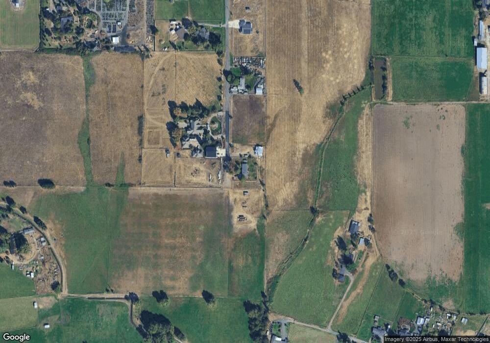
Map
Nearby Homes
- 3371 Freeland Rd
- 3307 Freeland Rd
- 3220 Freeland Rd
- 420 Mayberry Ln
- 884 Mendolia Way
- 1134 Steamboat Dr
- 407 Silver Creek Dr
- 3288 Grant Rd
- 404 Silver Creek Dr
- 296 Brandon St
- 626 Griffin Oaks Dr
- 659 Blue Moon Dr
- 166 Nadine Ln
- 650 Golden Peak Dr
- 1407 Rustler Peak St
- 209 Corcoran Ln
- 349 W Pine St
- 545 Bridge Creek Dr
- 0 Boulder Ridge St
- 871 Holley Way
- 2950 Phillips Way
- 2947 Phillips Way
- 2900 Heritage Rd
- 200 Phillips Way
- 2946 Phillips Way
- 2943 Phillips Way
- 2828 Heritage Rd
- 2855 Heritage Rd
- 3602 Old Stage Rd
- 2900 Wells Fargo Rd
- 2833 Heritage Rd
- 2796 Heritage Rd
- 2942 Wells Fargo Rd
- 3223 Taylor Rd
- 2815 Taylor Rd
- 3475 Freeland Rd
- 2801 Heritage Rd
- 2966 Wells Fargo Rd
- 2673 Taylor Rd
- 2994 Wells Fargo Rd
Your Personal Tour Guide
Ask me questions while you tour the home.