2951 Snowy Range Rd Laramie, WY 82070
Estimated Value: $433,000 - $731,000
5
Beds
2
Baths
2,026
Sq Ft
$295/Sq Ft
Est. Value
About This Home
This home is located at 2951 Snowy Range Rd, Laramie, WY 82070 and is currently estimated at $597,732, approximately $295 per square foot. 2951 Snowy Range Rd is a home located in Albany County with nearby schools including Velma Linford Elementary School, Laramie Middle School, and Laramie High School.
Ownership History
Date
Name
Owned For
Owner Type
Purchase Details
Closed on
Oct 7, 2025
Sold by
Engelskirger Carson and Engelskirger Danielle
Bought by
Engel Enterprises Llc
Current Estimated Value
Purchase Details
Closed on
Mar 17, 2025
Sold by
Robert C Moore Ii Revocable Trust and Moore Robert C
Bought by
Engel Enterprises Llc
Purchase Details
Closed on
Nov 6, 2024
Sold by
Engel Enterprises Llc
Bought by
Engelskirger Carson and Engelskirger Danielle
Purchase Details
Closed on
Jul 19, 2019
Sold by
Seaton Barbara
Bought by
Engel Enterprises Llc
Home Financials for this Owner
Home Financials are based on the most recent Mortgage that was taken out on this home.
Original Mortgage
$106,875
Interest Rate
3.82%
Mortgage Type
Commercial
Create a Home Valuation Report for This Property
The Home Valuation Report is an in-depth analysis detailing your home's value as well as a comparison with similar homes in the area
Home Values in the Area
Average Home Value in this Area
Purchase History
| Date | Buyer | Sale Price | Title Company |
|---|---|---|---|
| Engel Enterprises Llc | -- | None Listed On Document | |
| Engel Enterprises Llc | -- | First American Title | |
| Engelskirger Carson | -- | None Listed On Document | |
| Engelskirger Carson | -- | None Listed On Document | |
| Engel Enterprises Llc | -- | First American Title |
Source: Public Records
Mortgage History
| Date | Status | Borrower | Loan Amount |
|---|---|---|---|
| Previous Owner | Engel Enterprises Llc | $106,875 |
Source: Public Records
Tax History Compared to Growth
Tax History
| Year | Tax Paid | Tax Assessment Tax Assessment Total Assessment is a certain percentage of the fair market value that is determined by local assessors to be the total taxable value of land and additions on the property. | Land | Improvement |
|---|---|---|---|---|
| 2025 | $3,684 | $53,958 | $3,407 | $50,551 |
| 2024 | $3,684 | $54,004 | $4,497 | $49,507 |
| 2023 | $1,431 | $20,806 | $4,497 | $16,309 |
| 2022 | $959 | $13,963 | $4,482 | $9,481 |
| 2021 | $869 | $12,648 | $4,201 | $8,447 |
| 2020 | $802 | $11,651 | $3,582 | $8,069 |
| 2019 | $402 | $8,775 | $3,582 | $5,193 |
| 2018 | $370 | $8,297 | $3,582 | $4,715 |
| 2017 | $298 | $7,244 | $2,589 | $4,655 |
| 2016 | $290 | $7,132 | $2,589 | $4,543 |
| 2015 | $471 | $6,664 | $2,617 | $4,047 |
| 2014 | $471 | $6,931 | $0 | $0 |
Source: Public Records
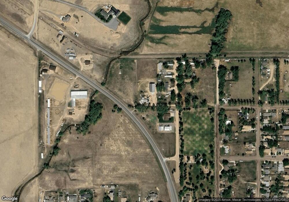
Map
Nearby Homes
- 2756 Snowy Range Rd
- 174 N Colorado Ave
- 2166 W Wyoming Ave Unit 29
- 2166 W Wyoming Ave Unit 25
- 2075 Jefferson St
- 416 Arthur St
- 370 S Buchanan St
- 262 N Taylor St Unit 5
- 541 S Johnson St
- 1666 Westview Dr
- 427 S Pierce St
- 1572 Westview Ct
- 1012 A-B S Colorado Ave
- 153 N Adams St
- 627 S Colorado Ave
- 1560 Westview Ct
- 1567 Westview Ct
- 1561 Westview Ct
- 1990 Truman St
- 529 S Pierce St
- 362 N Hayes St
- 258 N Hayes St
- 396 N Hayes St
- 365 N Hayes St
- 3070 Snowy Range Rd
- 3071 Snowy Range Rd
- 392 N Grant St
- 275 N Grant St
- 375 N Grant St
- 265 N Grant St
- 1000 Welsh Ln
- 255 N Grant St
- 2555 Wyoming Ave
- 2553 Wyoming Ave
- 280 N Johnson St
- 2465 Wyoming Ave
- 2377 Wyoming Ave
- 177 N Grant St
- 997 Welsh Ln
- 288 N Johnson St