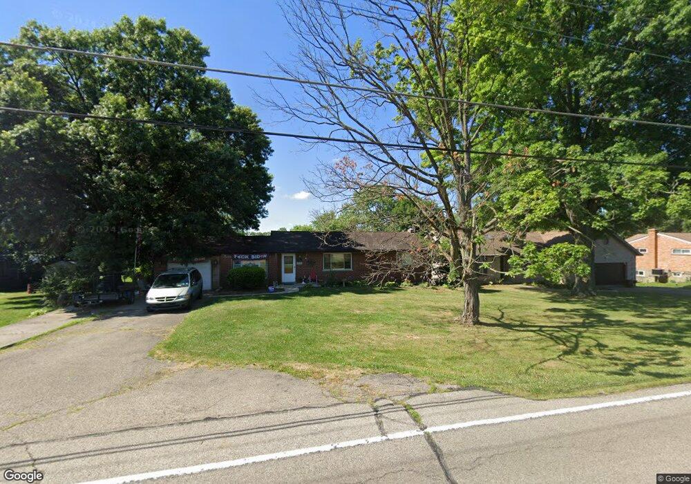
2951 Stout Rd Cincinnati, OH 45251
Northgate NeighborhoodEstimated Value: $204,000 - $229,000
3
Beds
2
Baths
1,287
Sq Ft
$167/Sq Ft
Est. Value
About This Home
This home is located at 2951 Stout Rd, Cincinnati, OH 45251 and is currently estimated at $215,457, approximately $167 per square foot. 2951 Stout Rd is a home located in Hamilton County with nearby schools including Taylor Elementary School, Pleasant Run Elementary School, and Pleasant Run Middle School.
Ownership History
Date
Name
Owned For
Owner Type
Purchase Details
Closed on
Jun 3, 2004
Sold by
Brown Penny G
Bought by
Brown Michael L
Current Estimated Value
Purchase Details
Closed on
May 27, 2004
Sold by
Brown Penny G
Bought by
Brown Michael L
Purchase Details
Closed on
Sep 29, 1993
Sold by
Fox Wayne P and Fox Betty J
Bought by
Brown Michael L and Brown Penny G
Home Financials for this Owner
Home Financials are based on the most recent Mortgage that was taken out on this home.
Original Mortgage
$76,400
Interest Rate
7.05%
Create a Home Valuation Report for This Property
The Home Valuation Report is an in-depth analysis detailing your home's value as well as a comparison with similar homes in the area
Home Values in the Area
Average Home Value in this Area
Purchase History
We collect this data history from publicly available records. To have your information removed, we recommend requesting removal directly through your county’s website.
| Date | Buyer | Sale Price | Title Company |
|---|---|---|---|
| Brown Michael L | -- | None Available | |
| Brown Michael L | -- | None Available | |
| Brown Michael L | -- | -- |
Source: Public Records
Mortgage History
We collect this data history from publicly available records. To have your information removed, we recommend requesting removal directly through your county’s website.
| Date | Status | Borrower | Loan Amount |
|---|---|---|---|
| Previous Owner | Brown Michael L | $76,400 |
Source: Public Records
Tax History
| Year | Tax Paid | Tax Assessment Tax Assessment Total Assessment is a certain percentage of the fair market value that is determined by local assessors to be the total taxable value of land and additions on the property. | Land | Improvement |
|---|---|---|---|---|
| 2025 | $3,297 | $57,037 | $22,383 | $34,654 |
| 2023 | $3,077 | $57,037 | $22,383 | $34,654 |
| 2022 | $2,767 | $41,829 | $19,824 | $22,005 |
| 2021 | $2,747 | $41,829 | $19,824 | $22,005 |
| 2020 | $2,771 | $41,829 | $19,824 | $22,005 |
| 2019 | $2,399 | $33,733 | $15,988 | $17,745 |
| 2018 | $2,153 | $33,733 | $15,988 | $17,745 |
| 2017 | $2,043 | $33,733 | $15,988 | $17,745 |
| 2016 | $2,106 | $34,297 | $16,419 | $17,878 |
| 2015 | $2,123 | $34,297 | $16,419 | $17,878 |
| 2014 | $2,127 | $34,297 | $16,419 | $17,878 |
| 2013 | $2,131 | $36,103 | $17,283 | $18,820 |
Source: Public Records
Map
Nearby Homes
- 10528 Pottinger Rd
- 10731 Valiant Dr
- 2371 Wilson Ave
- 2342 Washington Ave
- 10526 Breedshill Dr
- 10366 Pippin Ln
- 11261 Melissa Ct
- 2192 Pinney Ln
- 10283 Springlen Ct
- 11287 Templeton Dr
- 10311 September Dr
- 10351 Mae Ct
- 10347 Mae Ct
- 10324 Mae Ct
- 10312 Mae Ct
- 10316 Mae Ct
- 10304 Mae Ct
- 10308 Mae Ct
- 10323 Mae Ct
- 10220 Windswept Ln
- 2955 Stout Rd
- 2959 Stout Rd
- 2942 Stout Rd
- 2945 Stout Rd
- 2934 Stout Rd
- 2924 Stout Rd
- 2960 Stout Rd
- 2977 Stout Rd
- 10812 Penarth Dr
- 2916 Stout Rd
- 2906 Stout Rd
- 10820 Penarth Dr
- 2978 Stout Rd
- 2931 Butterwick Dr
- 2898 Stout Rd
- 2919 Butterwick Dr
- 2909 Butterwick Dr
- 10828 Penarth Dr
- 2959 Butterwick Dr
- 2990 Stout Rd
Your Personal Tour Guide
Ask me questions while you tour the home.