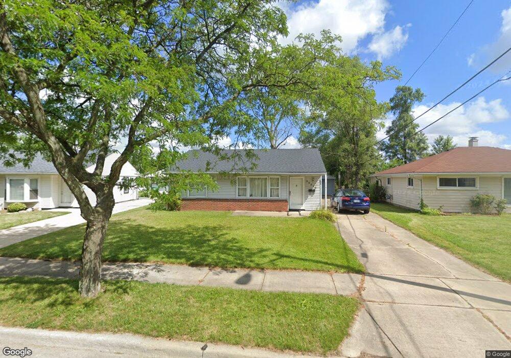
29516 Alvin St Garden City, MI 48135
Estimated Value: $149,595 - $168,000
2
Beds
1
Bath
818
Sq Ft
$195/Sq Ft
Est. Value
About This Home
This home is located at 29516 Alvin St, Garden City, MI 48135 and is currently estimated at $159,149, approximately $194 per square foot. 29516 Alvin St is a home located in Wayne County with nearby schools including Memorial Elementary 1-2 Campus, Douglas Elementary 3-4 Campus, and Farmington 5-6 Campus.
Ownership History
Date
Name
Owned For
Owner Type
Purchase Details
Closed on
Oct 23, 2009
Sold by
Daniels Carol Ann
Bought by
Cable John
Current Estimated Value
Purchase Details
Closed on
Sep 30, 2008
Sold by
Us Bank National Association
Bought by
Daniels Carol Ann
Purchase Details
Closed on
Jul 18, 2007
Sold by
Pierce Carliss A
Bought by
Us Bank Na and Home Equity Loan Trust 2005-He2
Purchase Details
Closed on
May 15, 1998
Sold by
Joelson Joelson F and Joelson Tague M
Bought by
Pierce A
Create a Home Valuation Report for This Property
The Home Valuation Report is an in-depth analysis detailing your home's value as well as a comparison with similar homes in the area
Home Values in the Area
Average Home Value in this Area
Purchase History
| Date | Buyer | Sale Price | Title Company |
|---|---|---|---|
| Cable John | $44,000 | Title One Inc | |
| Daniels Carol Ann | $21,000 | None Available | |
| Us Bank Na | $93,500 | None Available | |
| Pierce A | $74,500 | -- |
Source: Public Records
Tax History Compared to Growth
Tax History
| Year | Tax Paid | Tax Assessment Tax Assessment Total Assessment is a certain percentage of the fair market value that is determined by local assessors to be the total taxable value of land and additions on the property. | Land | Improvement |
|---|---|---|---|---|
| 2025 | $1,698 | $66,600 | $0 | $0 |
| 2024 | $1,698 | $61,500 | $0 | $0 |
| 2023 | $1,589 | $53,300 | $0 | $0 |
| 2022 | $1,787 | $43,500 | $0 | $0 |
| 2021 | $1,749 | $39,900 | $0 | $0 |
| 2020 | $1,762 | $39,500 | $0 | $0 |
| 2019 | $1,449 | $35,000 | $0 | $0 |
| 2018 | $1,294 | $30,000 | $0 | $0 |
| 2017 | $424 | $29,500 | $0 | $0 |
| 2016 | $1,475 | $28,800 | $0 | $0 |
| 2015 | $2,508 | $27,200 | $0 | $0 |
| 2013 | $2,430 | $25,100 | $0 | $0 |
| 2012 | $1,375 | $26,300 | $9,500 | $16,800 |
Source: Public Records
Map
Nearby Homes
- 29487 Florence St
- 577 Brandt St
- 29031 Rosslyn Ave
- 1125 Brandt St
- 28999 Beechnut St
- 489 Henry Ruff Rd
- 28783 Leona St
- 29578 Brown Ct
- 30414 Cherry Hill Rd
- 29643 Steinhauer St
- 30639 Florence St
- 29760 Birchwood St
- 28501 Leona St
- 28432 Alvin St
- 0000 Brandt St
- 29522 Grandview St
- 28524 Barton St
- 28930 Birchwood St
- 724 Clair St
- 329 Shotka St
- 29500 Alvin St
- 29526 Alvin St
- 29492 Alvin St
- 29536 Alvin St
- 29499 Florence St
- 29517 Florence St
- 29484 Alvin St
- 29541 Florence St
- 29531 Alvin St
- 29479 Florence St
- 29505 Alvin St
- 29546 Alvin St
- 540 Lytle Place
- 29493 Alvin St
- 29469 Florence St
- 29474 Alvin St
- 552 Lytle Place
- 428 Lytle Place
- 580 Lytle Place
- 596 Lytle Place