2952 Main St Coventry, CT 06238
Estimated Value: $343,000 - $351,000
2
Beds
2
Baths
1,306
Sq Ft
$266/Sq Ft
Est. Value
About This Home
This home is located at 2952 Main St, Coventry, CT 06238 and is currently estimated at $346,805, approximately $265 per square foot. 2952 Main St is a home located in Tolland County with nearby schools including Coventry Grammar School, George Hersey Robertson School, and Capt. Nathan Hale School.
Ownership History
Date
Name
Owned For
Owner Type
Purchase Details
Closed on
Oct 2, 2017
Sold by
Terranova Richard and Terranova Adeline
Bought by
Morello Nicholas
Current Estimated Value
Home Financials for this Owner
Home Financials are based on the most recent Mortgage that was taken out on this home.
Original Mortgage
$179,450
Outstanding Balance
$150,172
Interest Rate
3.89%
Mortgage Type
Purchase Money Mortgage
Estimated Equity
$196,633
Create a Home Valuation Report for This Property
The Home Valuation Report is an in-depth analysis detailing your home's value as well as a comparison with similar homes in the area
Home Values in the Area
Average Home Value in this Area
Purchase History
| Date | Buyer | Sale Price | Title Company |
|---|---|---|---|
| Morello Nicholas | $185,000 | -- | |
| Morello Nicholas | $185,000 | -- |
Source: Public Records
Mortgage History
| Date | Status | Borrower | Loan Amount |
|---|---|---|---|
| Open | Morello Nicholas | $179,450 | |
| Closed | Morello Nicholas | $179,450 | |
| Previous Owner | Morello Nicholas | $9,354 |
Source: Public Records
Tax History
| Year | Tax Paid | Tax Assessment Tax Assessment Total Assessment is a certain percentage of the fair market value that is determined by local assessors to be the total taxable value of land and additions on the property. | Land | Improvement |
|---|---|---|---|---|
| 2025 | $5,633 | $237,100 | $61,900 | $175,200 |
| 2024 | $5,146 | $154,500 | $54,900 | $99,600 |
| 2023 | $4,904 | $154,500 | $54,900 | $99,600 |
| 2022 | $4,813 | $154,500 | $54,900 | $99,600 |
| 2021 | $4,813 | $154,500 | $54,900 | $99,600 |
| 2020 | $4,816 | $154,500 | $54,900 | $99,600 |
| 2019 | $4,972 | $154,400 | $54,900 | $99,500 |
| 2018 | $4,589 | $142,500 | $54,900 | $87,600 |
| 2017 | $4,560 | $142,500 | $54,900 | $87,600 |
| 2016 | $4,446 | $142,500 | $54,900 | $87,600 |
| 2015 | $4,483 | $143,700 | $54,900 | $88,800 |
| 2014 | $4,609 | $161,900 | $68,700 | $93,200 |
Source: Public Records
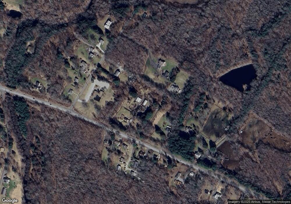
Map
Nearby Homes
- 864 Boston Turnpike
- 2478 Main St
- 0 Daly Rd Unit 24146464
- 152 Cheney Ln
- 27 Fox Trail
- 37 Wolf Hill Lot (#40) Rd
- 37 Wolf Hill Rd Unit Lot 40
- 395 Grant Hill (Mill Race Drive) Lot #21 Rd
- 395 Grant Hill Rd Unit Lot21
- 456 Grant Hill Rd
- 499 Woodmont Dr
- 0 Hinkel Mae Dr
- 0 Skinner Hill Rd Unit 24077239
- 279 Mark Dr
- 0 Boston Turnpike Unit 24128587
- 183 Root Rd
- 106 David Dr
- 198 Forest Rd
- 94 Stonehouse Rd Unit 10
- 0 Merrow Rd Unit 24141193