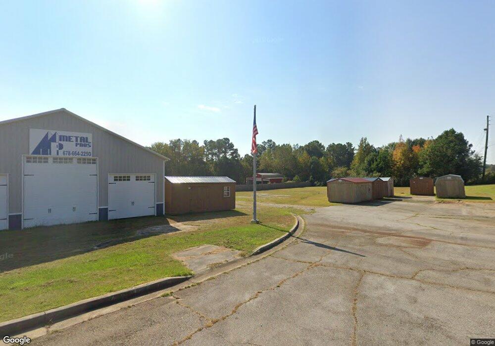
2952 Us Highway 27 Carrollton, GA 30116
Estimated Value: $610,651
4
Beds
2
Baths
2,000
Sq Ft
$305/Sq Ft
Est. Value
About This Home
This home is located at 2952 Us Highway 27, Carrollton, GA 30116 and is currently estimated at $610,651, approximately $305 per square foot. 2952 Us Highway 27 is a home located in Carroll County with nearby schools including Central Elementary School, Central Middle School, and Central High School.
Ownership History
Date
Name
Owned For
Owner Type
Purchase Details
Closed on
Jun 30, 2020
Sold by
Cottage Lane Properties Llc
Bought by
Hughes Shaun and Webster Robert W
Current Estimated Value
Purchase Details
Closed on
Feb 26, 2015
Sold by
American Commerce Bank
Bought by
Cottage Lane Properties Llc
Purchase Details
Closed on
Feb 4, 2014
Sold by
D & S Phillips Properties Llc
Bought by
Peoples Community National Bank
Purchase Details
Closed on
Aug 26, 1999
Sold by
Paulk Julia G
Bought by
Paulk John I
Purchase Details
Closed on
Jun 16, 1999
Sold by
Paulk Julia G
Bought by
Paulk John I
Purchase Details
Closed on
Jul 9, 1998
Sold by
Paulk John I
Bought by
Paulk John I
Purchase Details
Closed on
May 30, 1997
Sold by
Denney Bertie Est
Bought by
Paulk John I
Create a Home Valuation Report for This Property
The Home Valuation Report is an in-depth analysis detailing your home's value as well as a comparison with similar homes in the area
Home Values in the Area
Average Home Value in this Area
Purchase History
| Date | Buyer | Sale Price | Title Company |
|---|---|---|---|
| Hughes Shaun | $360,000 | -- | |
| Cottage Lane Properties Llc | $187,000 | -- | |
| Peoples Community National Bank | $199,500 | -- | |
| Peoples Community National Ban | $199,530 | -- | |
| Paulk John I | -- | -- | |
| Paulk John I | -- | -- | |
| Paulk John I | $13,200 | -- | |
| Paulk John I | $60,000 | -- |
Source: Public Records
Tax History Compared to Growth
Tax History
| Year | Tax Paid | Tax Assessment Tax Assessment Total Assessment is a certain percentage of the fair market value that is determined by local assessors to be the total taxable value of land and additions on the property. | Land | Improvement |
|---|---|---|---|---|
| 2024 | $2,927 | $129,384 | $32,028 | $97,356 |
| 2023 | $2,844 | $120,135 | $32,028 | $88,107 |
| 2022 | $2,578 | $102,795 | $32,028 | $70,767 |
| 2021 | $2,675 | $104,358 | $32,028 | $72,330 |
| 2020 | $1,834 | $71,432 | $32,028 | $39,404 |
| 2019 | $1,849 | $71,432 | $32,028 | $39,404 |
| 2018 | $1,725 | $65,707 | $32,028 | $33,679 |
| 2017 | $1,731 | $65,707 | $32,028 | $33,679 |
Source: Public Records
Map
Nearby Homes
- 221 Valley Ridge Dr
- 484 Carrie Kathleen Terrace
- 472 Carrie Kathleen Terrace
- 2492 Oak Grove Church Rd
- 0 Lowell Rd Unit 10640679
- 1915 Whooping Creek Church Rd
- 0 Ringer Rd Unit 10595950
- 135 Gray Rd
- 1512 Whooping Creek Church Rd
- 1502 Whooping Creek Church Rd
- 915 Oak Grove Rd
- 1450 Whooping Creek Church Rd
- 1430 Whooping Creek Church Rd
- 605 Whooping Creek Rd
- 1001 Whooping Creek Rd
- 2214 Hays Mill Rd
- 1233 Whooping Creek Rd
- 2952 S Highway 27
- 0 S Highway 27 Unit 2693267
- 0 S Highway 27 Unit 3039778
- 0 S Highway 27 Unit LOT 2 3142583
- 0 S Highway 27 Unit LOT 5 3142573
- 0 S Highway 27 Unit LOT 1 3142587
- 0 S Highway 27 Unit 3142579
- 0 S Highway 27 Unit LOT 5 7269310
- 0 S Highway 27 Unit 7269404
- 0 S Highway 27 Unit LOT 2 7269362
- 0 S Highway 27 Unit LOT 1 7269350
- 0 S Highway 27
- 00 S Highway 27
- 0 S Highway 27 Unit 7369632
- 0 S Highway 27 Unit 3270087
- 2904 S Highway 27
- 2915 Us Highway 27
- 2915 S Highway 27
- 3013 S Highway 27
- 2893 S Highway 27