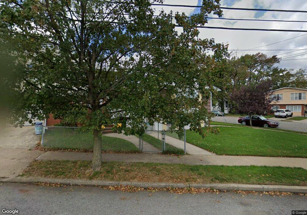
2953 Amboy Rd Staten Island, NY 10306
Oakwood NeighborhoodEstimated Value: $766,100 - $998,000
--
Bed
--
Bath
1,408
Sq Ft
$666/Sq Ft
Est. Value
About This Home
This home is located at 2953 Amboy Rd, Staten Island, NY 10306 and is currently estimated at $937,025, approximately $665 per square foot. 2953 Amboy Rd is a home located in Richmond County with nearby schools including P.S. 23 Richmondtown, Myra S. Barnes Intermediate School 24, and New Dorp High School.
Ownership History
Date
Name
Owned For
Owner Type
Purchase Details
Closed on
Jul 26, 2023
Sold by
Marzo Philomena
Bought by
Pm Trust and Marzo
Current Estimated Value
Purchase Details
Closed on
Jul 19, 1996
Sold by
Fiore Glenn M
Bought by
Fiore Glenn M and Fiore Theresa A
Create a Home Valuation Report for This Property
The Home Valuation Report is an in-depth analysis detailing your home's value as well as a comparison with similar homes in the area
Home Values in the Area
Average Home Value in this Area
Purchase History
| Date | Buyer | Sale Price | Title Company |
|---|---|---|---|
| Pm Trust | -- | None Listed On Document | |
| Fiore Glenn M | -- | -- |
Source: Public Records
Tax History Compared to Growth
Tax History
| Year | Tax Paid | Tax Assessment Tax Assessment Total Assessment is a certain percentage of the fair market value that is determined by local assessors to be the total taxable value of land and additions on the property. | Land | Improvement |
|---|---|---|---|---|
| 2025 | $6,395 | $49,500 | $11,275 | $38,225 |
| 2024 | $6,499 | $40,440 | $13,445 | $26,995 |
| 2023 | $6,368 | $39,398 | $11,118 | $28,280 |
| 2022 | $2,728 | $46,500 | $13,020 | $33,480 |
| 2021 | $2,711 | $41,520 | $13,020 | $28,500 |
| 2020 | $2,737 | $43,920 | $13,020 | $30,900 |
| 2019 | $3,066 | $38,160 | $13,020 | $25,140 |
| 2018 | $2,198 | $32,832 | $11,566 | $21,266 |
| 2017 | $2,546 | $32,280 | $13,020 | $19,260 |
| 2016 | $2,195 | $31,104 | $11,657 | $19,447 |
| 2015 | $1,901 | $30,741 | $8,482 | $22,259 |
| 2014 | $1,901 | $29,001 | $9,596 | $19,405 |
Source: Public Records
Map
Nearby Homes
- 2889 Amboy Rd
- 55 Amber St
- 56 Wolverine St
- 44 Thomas St
- 194 Tysens Ln
- 4 Penn Ave
- 32 Mobile Ave
- 122 Guyon Ave
- 77 Acorn St
- 28 Peter Ave
- 1915 N Railroad Ave
- 100 Savoy St Unit 1, 39, 43, 45, 46
- 14 Savoy St Unit 14
- 16 Savoy St Unit 16
- 126 Tysens Ln
- 143 Wolverine St
- 124 Barbara St
- 305 Tysens Ln Unit B
- 175 Amber St
- 45 Penn Ave