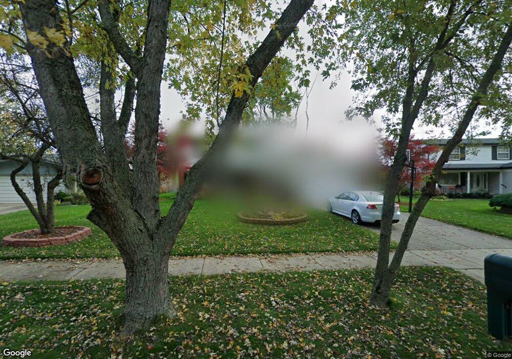
29540 N Rutherland St Unit Bldg-Unit Southfield, MI 48076
Estimated Value: $328,000 - $361,000
4
Beds
3
Baths
2,241
Sq Ft
$154/Sq Ft
Est. Value
About This Home
This home is located at 29540 N Rutherland St Unit Bldg-Unit, Southfield, MI 48076 and is currently estimated at $344,171, approximately $153 per square foot. 29540 N Rutherland St Unit Bldg-Unit is a home located in Oakland County with nearby schools including Vandenberg Elementary School, Thompson K-8 International Baccalaureate Academy, and Crescent Academy Pk-1.
Ownership History
Date
Name
Owned For
Owner Type
Purchase Details
Closed on
Mar 31, 2025
Sold by
Thirkield Nicole and Thirkield Dominick
Bought by
Nicole J Thirkield J and Nicole Dominick D
Current Estimated Value
Purchase Details
Closed on
Jul 23, 2018
Sold by
Henderson Betty L and Henderson Alison Vaughn
Bought by
Thirkield Nicole and Thirkield Dominick
Home Financials for this Owner
Home Financials are based on the most recent Mortgage that was taken out on this home.
Original Mortgage
$196,092
Interest Rate
4.5%
Mortgage Type
FHA
Purchase Details
Closed on
May 11, 2017
Sold by
Henderson Betty L
Bought by
Henderson Vaughn R and Henderson Betty L
Purchase Details
Closed on
Feb 8, 2002
Sold by
Henderson Betty L
Bought by
Henderson Betty L
Create a Home Valuation Report for This Property
The Home Valuation Report is an in-depth analysis detailing your home's value as well as a comparison with similar homes in the area
Home Values in the Area
Average Home Value in this Area
Purchase History
| Date | Buyer | Sale Price | Title Company |
|---|---|---|---|
| Nicole J Thirkield J | -- | None Listed On Document | |
| Nicole J Thirkield J | -- | None Listed On Document | |
| Thirkield Nicole | $219,000 | None Available | |
| Henderson Vaughn R | -- | None Available | |
| Henderson Betty L | -- | -- |
Source: Public Records
Mortgage History
| Date | Status | Borrower | Loan Amount |
|---|---|---|---|
| Previous Owner | Thirkield Nicole | $196,092 |
Source: Public Records
Tax History Compared to Growth
Tax History
| Year | Tax Paid | Tax Assessment Tax Assessment Total Assessment is a certain percentage of the fair market value that is determined by local assessors to be the total taxable value of land and additions on the property. | Land | Improvement |
|---|---|---|---|---|
| 2022 | $5,803 | $125,390 | $20,850 | $104,540 |
| 2021 | $6,049 | $111,620 | $20,930 | $90,690 |
| 2020 | $5,253 | $102,690 | $15,500 | $87,190 |
| 2018 | $3,100 | $83,280 | $10,620 | $72,660 |
| 2015 | -- | $59,100 | $0 | $0 |
| 2014 | -- | $48,480 | $0 | $0 |
| 2011 | -- | $45,190 | $0 | $0 |
Source: Public Records
Map
Nearby Homes
- 29809 N Bedford St
- 29641 Fairfax St
- 29915 Everett St
- 29512 Brentwood St
- 28775 Glasgow St
- 28760 Everett St
- 3774 Greenfield Rd
- 28723 Everett St
- 28740 Fairfax St
- 3659 Ellwood Ave
- 3560 Greenfield Rd
- 3625 Ellwood Ave
- 3912 Ellwood Ave
- 30160 Marshall St
- 3911 Thomas Ave
- 28521 Sutherland St
- 28589 Brentwood St
- 28530 Fairfax St
- 28538 Marshall St
- 4176 Cummings Ave
- 29540 N Rutherland St
- 29560 N Rutherland St
- 29520 N Rutherland St
- 29580 N Rutherland St
- 29500 N Rutherland St
- 29545 N Rutherland St
- 29575 N Rutherland St
- 29499 N Rutherland St
- 29600 N Rutherland St
- 16269 E Rutherland St
- 16129 E Bedford St
- 29595 N Rutherland St
- 16099 E Bedford St
- 16279 E Rutherland St
- 16300 E Rutherland St
- 16301 E Bedford St
- 16079 E Bedford St
- 16330 E Rutherland St
- 29630 N Rutherland St
- 16289 E Rutherland St