29541 Marble Rd Pierre, SD 57501
Estimated Value: $457,000 - $578,197
5
Beds
3
Baths
1,809
Sq Ft
$292/Sq Ft
Est. Value
About This Home
This home is located at 29541 Marble Rd, Pierre, SD 57501 and is currently estimated at $529,049, approximately $292 per square foot. 29541 Marble Rd is a home with nearby schools including T.F. Riggs High School.
Ownership History
Date
Name
Owned For
Owner Type
Purchase Details
Closed on
Jun 1, 2014
Sold by
Jeffrey B Jeffrey B and Runyan Taya M
Bought by
Ulrich Tyler and Ulrich Brooke
Current Estimated Value
Purchase Details
Closed on
Mar 13, 2012
Sold by
Cowan Chad R
Bought by
Runyan Jeffrey B and Runyan Taya M
Purchase Details
Closed on
May 12, 2010
Sold by
Beastrom B M and Beastrom Thelma
Bought by
Cowan Chad R
Home Financials for this Owner
Home Financials are based on the most recent Mortgage that was taken out on this home.
Original Mortgage
$22,500
Interest Rate
5.12%
Create a Home Valuation Report for This Property
The Home Valuation Report is an in-depth analysis detailing your home's value as well as a comparison with similar homes in the area
Purchase History
| Date | Buyer | Sale Price | Title Company |
|---|---|---|---|
| Ulrich Tyler | $44,500 | -- | |
| Runyan Jeffrey B | $35,000 | -- | |
| Cowan Chad R | $30,000 | -- |
Source: Public Records
Mortgage History
| Date | Status | Borrower | Loan Amount |
|---|---|---|---|
| Previous Owner | Cowan Chad R | $22,500 |
Source: Public Records
Tax History
| Year | Tax Paid | Tax Assessment Tax Assessment Total Assessment is a certain percentage of the fair market value that is determined by local assessors to be the total taxable value of land and additions on the property. | Land | Improvement |
|---|---|---|---|---|
| 2025 | $4,232 | $503,453 | $65,914 | $437,539 |
| 2024 | $3,955 | $464,074 | $60,758 | $403,316 |
| 2023 | $3,629 | $419,371 | $58,142 | $361,229 |
| 2022 | $3,226 | $355,399 | $49,273 | $306,126 |
| 2021 | $3,150 | $301,186 | $41,757 | $259,429 |
| 2020 | $3,203 | $292,414 | $40,541 | $251,873 |
| 2019 | $3,219 | $292,414 | $40,541 | $251,873 |
| 2018 | $3,128 | $278,489 | $38,610 | $239,879 |
| 2017 | -- | $270,377 | $37,485 | $232,892 |
| 2016 | $2,961 | $256,750 | $37,485 | $219,265 |
| 2015 | -- | $232,880 | $34,000 | $198,880 |
| 2014 | -- | $29,244 | $29,244 | $0 |
| 2013 | -- | $29,244 | $29,244 | $0 |
| 2011 | -- | $29,244 | $29,244 | $0 |
Source: Public Records
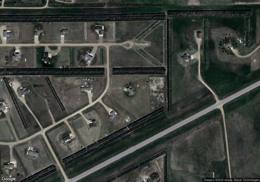
Map
Nearby Homes
- 29536 Stone Place
- 0 Tbd 203rd St St
- 2821 Oxford Ct
- Lot 35 Falcon Ridge Rd
- Lot 3 Falcon Ridge Rd
- 219 Mars St
- 104 Mercury St
- 149 Polaris Ave
- 1649 Northstar Ave Unit 1649 Northstar Ave.,
- 0 Brookstone Lp
- 1912 Brighton Ct
- Lot 13R N Garfield Ave
- 1814 Camden Ct
- 131 Hampton Dr
- 1621 Abbey Rd
- 139 Hampton Dr
- 137 Hampton Dr
- 0 Woodview Dr
- 129 Norbeck Dr
- 109 Baja Dr
- 29539 Marble Rd
- 29558 U S 14
- 29533 Marble Rd
- 29532 Marble Rd
- 29533 Mica Place
- 29534 Mica Place
- 29544 Stone Place
- 29529 Marble Rd
- 29540 Stone Place
- 29525 Mica Place
- 29504 Mica Place
- 29560 Us Highway 14
- 29528 Mica Place
- 29548 Stone Place
- 29526 Marble Rd
- 29523 Marble Rd
- 29563 Us Highway 14
- 29539 Stone Place
- 29522 Mica Place
- 29519 Mica Place
Your Personal Tour Guide
Ask me questions while you tour the home.