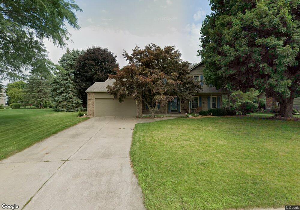
2956 Innisbrook Dr Portage, MI 49024
Estimated Value: $404,003 - $497,000
4
Beds
3
Baths
2,400
Sq Ft
$191/Sq Ft
Est. Value
About This Home
This home is located at 2956 Innisbrook Dr, Portage, MI 49024 and is currently estimated at $459,251, approximately $191 per square foot. 2956 Innisbrook Dr is a home located in Kalamazoo County with nearby schools including Moorsbridge Elementary School, Portage West Middle School, and Portage Central High School.
Ownership History
Date
Name
Owned For
Owner Type
Purchase Details
Closed on
Aug 12, 2010
Sold by
Brady James S and Young Brady Lori Ann
Bought by
Miller Valerie and Longjohn Matt
Current Estimated Value
Home Financials for this Owner
Home Financials are based on the most recent Mortgage that was taken out on this home.
Original Mortgage
$174,400
Outstanding Balance
$115,819
Interest Rate
4.63%
Mortgage Type
New Conventional
Estimated Equity
$343,432
Create a Home Valuation Report for This Property
The Home Valuation Report is an in-depth analysis detailing your home's value as well as a comparison with similar homes in the area
Home Values in the Area
Average Home Value in this Area
Purchase History
| Date | Buyer | Sale Price | Title Company |
|---|---|---|---|
| Miller Valerie | $218,000 | Devon Title |
Source: Public Records
Mortgage History
| Date | Status | Borrower | Loan Amount |
|---|---|---|---|
| Open | Miller Valerie | $174,400 |
Source: Public Records
Tax History Compared to Growth
Tax History
| Year | Tax Paid | Tax Assessment Tax Assessment Total Assessment is a certain percentage of the fair market value that is determined by local assessors to be the total taxable value of land and additions on the property. | Land | Improvement |
|---|---|---|---|---|
| 2025 | $6,329 | $188,800 | $0 | $0 |
| 2024 | $5,572 | $174,000 | $0 | $0 |
| 2023 | $5,312 | $159,100 | $0 | $0 |
| 2022 | $5,739 | $148,900 | $0 | $0 |
| 2021 | $5,547 | $147,500 | $0 | $0 |
| 2020 | $5,426 | $134,600 | $0 | $0 |
| 2019 | $489 | $133,500 | $0 | $0 |
| 2018 | $0 | $129,100 | $0 | $0 |
| 2017 | $0 | $126,400 | $0 | $0 |
| 2016 | -- | $124,600 | $0 | $0 |
| 2015 | -- | $118,200 | $0 | $0 |
| 2014 | -- | $114,700 | $0 | $0 |
Source: Public Records
Map
Nearby Homes
- 7639 Dunross Dr
- 7464 Saint George Cir
- 7481 Turnberry Ct
- 7922 Kilmory Cir
- 2600 W Centre Ave Unit +/- 1 Acre
- 2351 W Centre Ave
- 2076 Lion Gate Dr
- 2087 Lion Gate Dr
- 1902 W Centre Ave
- 8030 Wimbledon Dr Unit 35
- 3653 Tartan Cir
- 7236 Hampstead Ln Unit 18
- 7160 Crown Pointe Cir
- 3320 Scots Pine Way Unit 2
- 7717 Julie Dr
- 7337 Starbrook St
- 7784 Primrose Ln
- 1828 Woodland Dr
- 2604 Radcliffe Ave
- 7403 Rockford St
- 2932 Innisbrook Dr
- 2990 Innisbrook Dr
- 7696 Dunross Dr
- 7723 Hillsmoor Ln
- 7686 Dunross Dr
- 2908 Innisbrook Dr
- 7695 Dunross Dr
- 2963 Innisbrook Dr
- 7713 Hillsmoor Ln
- 3005 Innisbrook Dr
- 7672 Dunross Dr
- 7677 Dunross Dr
- 3042 Innisbrook Dr
- 7724 Hillsmoor Ln
- 7703 Hillsmoor Ln
- 7654 Dunross Dr
- 7657 Dunross Dr
- 3027 Innisbrook Dr
- 7714 Hillsmoor Ln
- 3023 Muirfield Dr