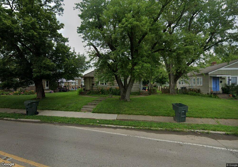
2956 McGuffey Rd Unit 58 Columbus, OH 43224
North Linden NeighborhoodEstimated Value: $182,556 - $218,000
4
Beds
2
Baths
1,576
Sq Ft
$126/Sq Ft
Est. Value
About This Home
This home is located at 2956 McGuffey Rd Unit 58, Columbus, OH 43224 and is currently estimated at $198,639, approximately $126 per square foot. 2956 McGuffey Rd Unit 58 is a home located in Franklin County with nearby schools including Como Elementary School, Dominion Middle School, and Whetstone High School.
Ownership History
Date
Name
Owned For
Owner Type
Purchase Details
Closed on
Nov 17, 2008
Sold by
Deutsche Bank National Trust Company
Bought by
Dranichak Michelle and Dranichak Edward J
Current Estimated Value
Purchase Details
Closed on
Sep 15, 2008
Sold by
Jackson Adam and Case #07Cve09 12678
Bought by
Deutsche Bank National Trust Co and Morgan Stanley Abs Capital I Inc Trust 2
Purchase Details
Closed on
Mar 1, 1985
Purchase Details
Closed on
May 1, 1983
Create a Home Valuation Report for This Property
The Home Valuation Report is an in-depth analysis detailing your home's value as well as a comparison with similar homes in the area
Home Values in the Area
Average Home Value in this Area
Purchase History
| Date | Buyer | Sale Price | Title Company |
|---|---|---|---|
| Dranichak Michelle | $18,900 | Rels Title | |
| Deutsche Bank National Trust Co | $22,000 | None Available | |
| -- | -- | -- | |
| -- | -- | -- |
Source: Public Records
Tax History Compared to Growth
Tax History
| Year | Tax Paid | Tax Assessment Tax Assessment Total Assessment is a certain percentage of the fair market value that is determined by local assessors to be the total taxable value of land and additions on the property. | Land | Improvement |
|---|---|---|---|---|
| 2024 | $2,219 | $48,410 | $12,850 | $35,560 |
| 2023 | $2,191 | $48,405 | $12,845 | $35,560 |
| 2022 | $1,118 | $21,040 | $5,780 | $15,260 |
| 2021 | $1,120 | $21,040 | $5,780 | $15,260 |
| 2020 | $1,122 | $21,040 | $5,780 | $15,260 |
| 2019 | $1,088 | $17,500 | $4,830 | $12,670 |
| 2018 | $922 | $17,500 | $4,830 | $12,670 |
| 2017 | $960 | $17,500 | $4,830 | $12,670 |
| 2016 | $833 | $12,260 | $4,800 | $7,460 |
| 2015 | $758 | $12,260 | $4,800 | $7,460 |
| 2014 | $760 | $12,260 | $4,800 | $7,460 |
| 2013 | $375 | $12,250 | $4,795 | $7,455 |
Source: Public Records
Map
Nearby Homes
- 2950 Grasmere Ave
- 1225 Sandlin Ave
- 1247 Weldon Ave
- 3043 McGuffey Rd
- 2860 Grasmere Ave
- 2888 Howey Rd
- 2913 Gerbert Rd
- 2996 Atwood Terrace
- 2899 Howey Rd
- 2981 Gerbert Rd
- 3071 Karl Rd
- 2905 Ontario St
- 2804 Grasmere Ave
- 3129 McGuffey Rd
- 2769 McGuffey Rd
- 3105 Atwood Terrace
- 3107 Hamilton Ave
- 3087 Hiawatha St
- 2696 Grasmere Ave
- 2890 Medina Ave
- 2964 McGuffey Rd Unit 66
- 2948 McGuffey Rd Unit 50
- 1188 Delno Ave
- 2970 McGuffey Rd
- 1195 Sandlin Ave
- 1194 Delno Ave
- 2932 McGuffey Rd Unit 34
- 2932-2934 McGuffey Rd
- 2932-2934 McGuffey Rd Unit 34
- 1201 Sandlin Ave
- 2957 McGuffey Rd
- 2957 McGuffey Rd Unit 10-
- 2963 McGuffey Rd
- 2965-2967 McGuffey Rd
- 2965 McGuffey Rd Unit 967
- 1200 Delno Ave
- 2941 McGuffey Rd
- 2971 McGuffey Rd
- 1207 Sandlin Ave
- 1187 Delno Ave