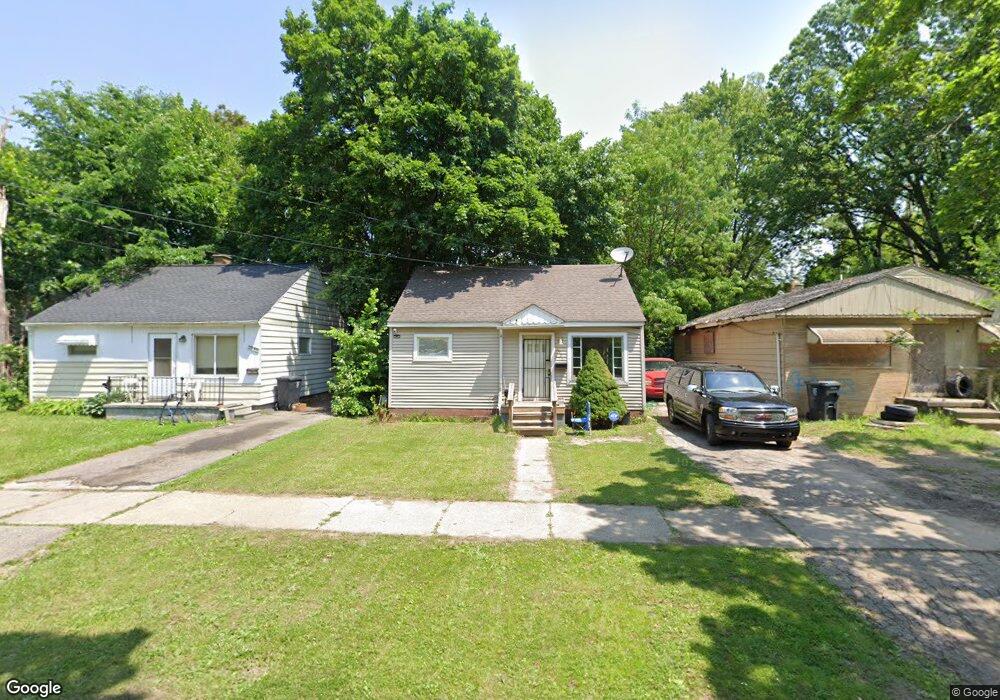
2956 Stevenson St Flint, MI 48504
Ballenger Highway NeighborhoodEstimated Value: $35,000 - $51,000
2
Beds
1
Bath
676
Sq Ft
$65/Sq Ft
Est. Value
About This Home
This home is located at 2956 Stevenson St, Flint, MI 48504 and is currently estimated at $44,127, approximately $65 per square foot. 2956 Stevenson St is a home located in Genesee County with nearby schools including Durant-Tuuri-Mott Elementary School, Greater Heights Academy, and St. Paul Lutheran School.
Ownership History
Date
Name
Owned For
Owner Type
Purchase Details
Closed on
Jun 4, 2025
Sold by
Genesee County
Bought by
Jackson Charbrielle
Current Estimated Value
Purchase Details
Closed on
Jun 1, 2024
Sold by
Waterson Margaret L and Waterson Alfred D
Bought by
Goad Mary Ann
Purchase Details
Closed on
May 8, 2009
Sold by
Tomcala John and Tomcala Catherine
Bought by
Waterson Alfred D and Waterson Margaret L
Purchase Details
Closed on
Mar 7, 2008
Sold by
The Inter Vivos Trust Agreement Of Charl
Bought by
Tomcala John
Purchase Details
Closed on
Apr 2, 2002
Sold by
Oldanie Charles W and Oldanie Betty A
Bought by
Oldanie Charles W and Oldanie Betty A
Create a Home Valuation Report for This Property
The Home Valuation Report is an in-depth analysis detailing your home's value as well as a comparison with similar homes in the area
Home Values in the Area
Average Home Value in this Area
Purchase History
| Date | Buyer | Sale Price | Title Company |
|---|---|---|---|
| Jackson Charbrielle | $8,575 | None Listed On Document | |
| Goad Mary Ann | -- | None Listed On Document | |
| Waterson Alfred D | $30,000 | Sargents Title Company | |
| Tomcala John | -- | Sargents Title Company | |
| Oldanie Charles W | -- | -- |
Source: Public Records
Tax History
| Year | Tax Paid | Tax Assessment Tax Assessment Total Assessment is a certain percentage of the fair market value that is determined by local assessors to be the total taxable value of land and additions on the property. | Land | Improvement |
|---|---|---|---|---|
| 2025 | $702 | $11,500 | $0 | $0 |
| 2024 | $660 | $8,600 | $0 | $0 |
| 2023 | $653 | $6,800 | $0 | $0 |
| 2022 | $0 | $5,600 | $0 | $0 |
| 2021 | $657 | $5,700 | $0 | $0 |
| 2020 | $615 | $6,100 | $0 | $0 |
| 2019 | $609 | $5,200 | $0 | $0 |
| 2018 | $619 | $5,700 | $0 | $0 |
| 2017 | $807 | $0 | $0 | $0 |
| 2016 | $676 | $0 | $0 | $0 |
| 2015 | -- | $0 | $0 | $0 |
| 2014 | -- | $0 | $0 | $0 |
| 2012 | -- | $9,000 | $0 | $0 |
Source: Public Records
Map
Nearby Homes
- 2944 Wolcott St
- 0 Donaldson St
- 2915 Berkley St
- 2902 Prospect St
- 1133 Donaldson St
- 3101 Barth St
- 3021 Clement St
- 1402 Lavender Ave
- 1271 Donaldson St
- 3071 Devonshire St
- 3310 Concord St
- 1220 Forest Hill Ave
- 3120 Stratford St
- 1221 Eldorado Dr
- 2622 Concord St
- 2112 Winona St
- 2612 Concord St
- 2509 Barth St
- 1909 Welch Blvd
- 2038 Copeman Blvd
- 2960 Stevenson St
- 2952 Stevenson St
- 3002 Stevenson St
- 2964 Stevenson St
- 2949 Wolcott St
- 2953 Wolcott St
- 2945 Wolcott St
- 2941 Wolcott St
- 1301 Donaldson Blvd
- 1305 Donaldson Blvd
- 3001 Wolcott St
- 2951 Stevenson St
- 2947 Stevenson St
- 2955 Stevenson St
- 1309 Donaldson Blvd
- 2959 Stevenson St
- 1267 Donaldson Blvd
- 1267 Donaldson St
- 3001 Stevenson St
- 3009 Wolcott St
Your Personal Tour Guide
Ask me questions while you tour the home.