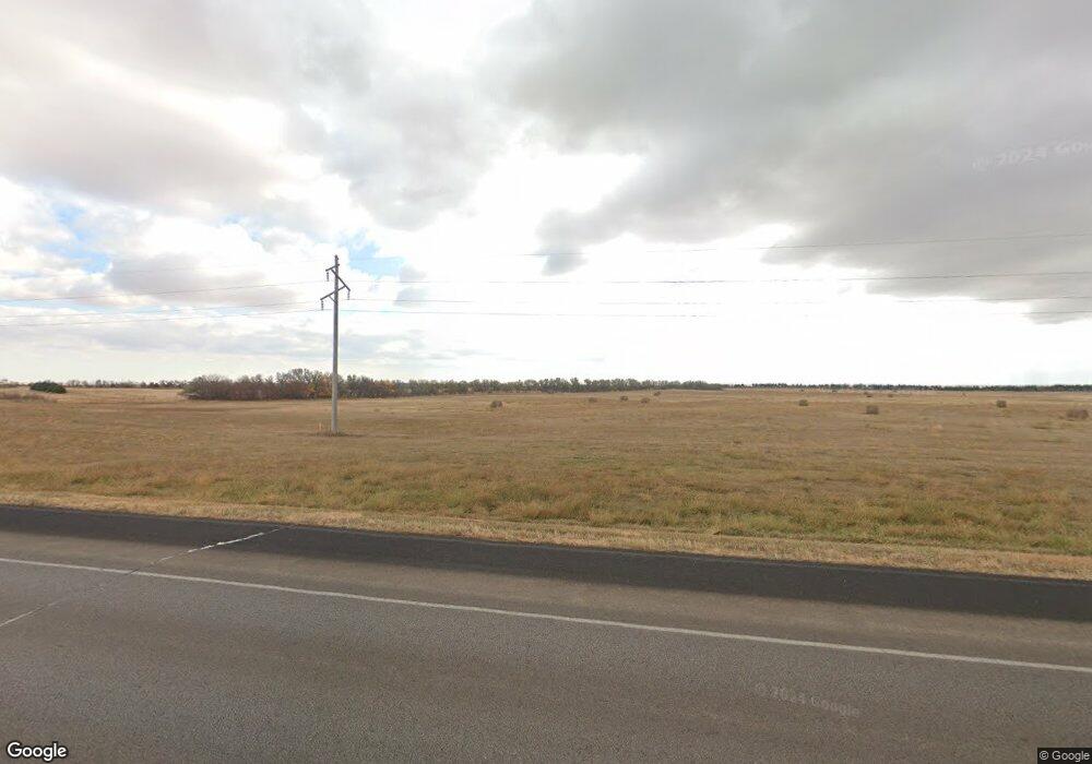
29567 Us Highway 14 Pierre, SD 57501
Estimated Value: $40,000 - $877,269
2
Beds
3
Baths
2,600
Sq Ft
$215/Sq Ft
Est. Value
About This Home
This home is located at 29567 Us Highway 14, Pierre, SD 57501 and is currently estimated at $557,817, approximately $214 per square foot. 29567 Us Highway 14 is a home with nearby schools including T.F. Riggs High School.
Ownership History
Date
Name
Owned For
Owner Type
Purchase Details
Closed on
Sep 7, 2005
Sold by
Zahradnicek James and Zahradnicek Shari L
Bought by
Dravland Todd R and Dravland Pamela L
Current Estimated Value
Home Financials for this Owner
Home Financials are based on the most recent Mortgage that was taken out on this home.
Original Mortgage
$400,000
Interest Rate
5.93%
Create a Home Valuation Report for This Property
The Home Valuation Report is an in-depth analysis detailing your home's value as well as a comparison with similar homes in the area
Home Values in the Area
Average Home Value in this Area
Purchase History
| Date | Buyer | Sale Price | Title Company |
|---|---|---|---|
| Dravland Todd R | -- | -- |
Source: Public Records
Mortgage History
| Date | Status | Borrower | Loan Amount |
|---|---|---|---|
| Closed | Dravland Todd R | $400,000 |
Source: Public Records
Tax History Compared to Growth
Tax History
| Year | Tax Paid | Tax Assessment Tax Assessment Total Assessment is a certain percentage of the fair market value that is determined by local assessors to be the total taxable value of land and additions on the property. | Land | Improvement |
|---|---|---|---|---|
| 2025 | $6,321 | $751,907 | $122,527 | $629,380 |
| 2024 | $6,358 | $693,095 | $112,943 | $580,152 |
| 2023 | $5,832 | $674,081 | $108,079 | $566,002 |
| 2022 | $5,185 | $571,255 | $91,592 | $479,663 |
| 2021 | $5,063 | $484,114 | $77,620 | $406,494 |
| 2020 | $5,148 | $470,013 | $75,359 | $394,654 |
| 2019 | $5,173 | $470,013 | $75,359 | $394,654 |
| 2018 | $5,028 | $447,631 | $71,770 | $375,861 |
| 2017 | -- | $434,594 | $69,680 | $364,914 |
| 2016 | $5,012 | $434,594 | $69,680 | $364,914 |
| 2015 | -- | $394,190 | $63,202 | $330,988 |
| 2014 | -- | $375,419 | $60,192 | $315,227 |
| 2013 | -- | $375,419 | $60,192 | $315,227 |
| 2011 | -- | $375,419 | $60,192 | $315,227 |
Source: Public Records
Map
Nearby Homes
- 0 Tbd 203rd St St
- TBD 203rd St
- Lot 35 Falcon Ridge Rd
- Lot 3 Falcon Ridge Rd
- 20426 Augusta Rd
- 20426 Augusta Rd Unit LotWP001
- 105 Polaris Ave
- 125 Mercury St
- 200 Mars St
- 101 Venus St
- 1449 Crested Ave
- 0 Range Rd
- 2406 Callaway Ct
- 0 Tbd 293rd Ave Unit LotWP001
- 0 Brookstone Lp
- 2222 Stratford Place
- Lot 13R N Garfield Ave
- 2209 Stratford Place
- TBD 293rd Ave
- 917 Preston Place
- 29563 Us Highway 14
- 29548 Stone Place
- 29544 Stone Place
- 29539 Stone Place
- 29540 Stone Place
- 29535 Stone Place
- 29536 Stone Place
- 29541 Marble Rd
- 29539 Marble Rd
- 29558 U S 14
- 29560 Us Highway 14
- 29533 Marble Rd
- 29531 Stone Place
- 29532 Stone Place
- 29529 Marble Rd
- 29581 Us Highway 14
- 29532 Marble Rd
- 29523 Marble Rd
- 29533 Mica Place
- 29528 Stone Place
