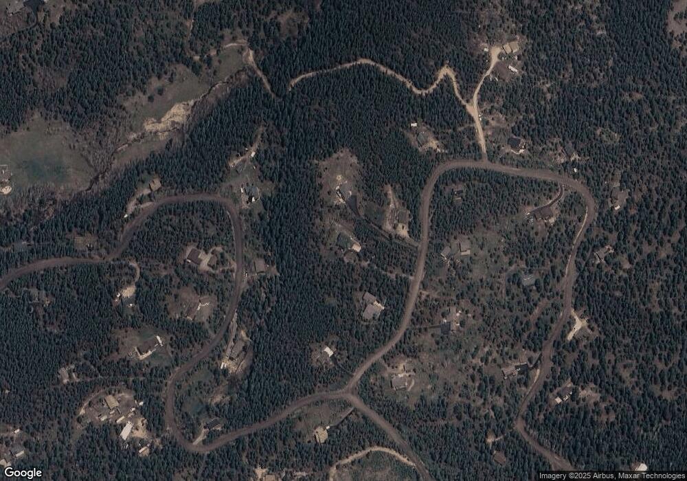
29569 Thunderbolt Cir Conifer, CO 80433
Shadow Mountain NeighborhoodEstimated Value: $1,077,000 - $1,260,000
4
Beds
4
Baths
4,212
Sq Ft
$278/Sq Ft
Est. Value
About This Home
This home is located at 29569 Thunderbolt Cir, Conifer, CO 80433 and is currently estimated at $1,170,148, approximately $277 per square foot. 29569 Thunderbolt Cir is a home located in Jefferson County with nearby schools including Marshdale Elementary School, West Jefferson Middle School, and Conifer Senior High School.
Ownership History
Date
Name
Owned For
Owner Type
Purchase Details
Closed on
Jul 14, 2016
Sold by
Weinberg Glen and Weinberg Julie
Bought by
Faerber Charles R and Faerber Suzanne W
Current Estimated Value
Home Financials for this Owner
Home Financials are based on the most recent Mortgage that was taken out on this home.
Original Mortgage
$415,500
Outstanding Balance
$332,547
Interest Rate
3.66%
Mortgage Type
New Conventional
Estimated Equity
$837,601
Purchase Details
Closed on
Jan 31, 2006
Sold by
Randell Randie J
Bought by
Weinberg Glen and Weinberg Julie
Home Financials for this Owner
Home Financials are based on the most recent Mortgage that was taken out on this home.
Original Mortgage
$330,000
Interest Rate
6.24%
Mortgage Type
Fannie Mae Freddie Mac
Purchase Details
Closed on
Jul 18, 2003
Sold by
Randell Randie J and Thorstad Ronald L
Bought by
Randell Randie J
Home Financials for this Owner
Home Financials are based on the most recent Mortgage that was taken out on this home.
Original Mortgage
$258,500
Interest Rate
4%
Mortgage Type
Purchase Money Mortgage
Purchase Details
Closed on
Jun 17, 2002
Sold by
Thorstad Randie J and Thorstad Ronald L
Bought by
Randell Randie J and Thorstad Ronald L
Purchase Details
Closed on
Sep 27, 2000
Sold by
Danko Oliver L
Bought by
Thorstad Ronald
Purchase Details
Closed on
Oct 28, 1996
Sold by
Espinoza John E and Jane Kelley M
Bought by
Thorstad Randie J and Thorstad Ronald L
Home Financials for this Owner
Home Financials are based on the most recent Mortgage that was taken out on this home.
Original Mortgage
$179,900
Interest Rate
8.15%
Create a Home Valuation Report for This Property
The Home Valuation Report is an in-depth analysis detailing your home's value as well as a comparison with similar homes in the area
Home Values in the Area
Average Home Value in this Area
Purchase History
| Date | Buyer | Sale Price | Title Company |
|---|---|---|---|
| Faerber Charles R | $692,500 | Land Title Guarantee Company | |
| Weinberg Glen | $480,000 | None Available | |
| Randell Randie J | -- | Commonwealth Title | |
| Randell Randie J | -- | -- | |
| Thorstad Ronald | $73,000 | -- | |
| Thorstad Randie J | $229,900 | -- |
Source: Public Records
Mortgage History
| Date | Status | Borrower | Loan Amount |
|---|---|---|---|
| Open | Faerber Charles R | $415,500 | |
| Previous Owner | Weinberg Glen | $330,000 | |
| Previous Owner | Randell Randie J | $258,500 | |
| Previous Owner | Thorstad Randie J | $179,900 | |
| Closed | Randell Randie J | $100,000 |
Source: Public Records
Tax History Compared to Growth
Tax History
| Year | Tax Paid | Tax Assessment Tax Assessment Total Assessment is a certain percentage of the fair market value that is determined by local assessors to be the total taxable value of land and additions on the property. | Land | Improvement |
|---|---|---|---|---|
| 2024 | $5,950 | $68,710 | $14,940 | $53,770 |
| 2023 | $5,950 | $68,710 | $14,940 | $53,770 |
| 2022 | $4,608 | $52,159 | $8,788 | $43,371 |
| 2021 | $4,671 | $53,660 | $9,041 | $44,619 |
| 2020 | $4,245 | $48,910 | $8,157 | $40,753 |
| 2019 | $4,103 | $48,910 | $8,157 | $40,753 |
| 2018 | $3,034 | $36,373 | $8,142 | $28,231 |
| 2017 | $2,745 | $36,373 | $8,142 | $28,231 |
| 2016 | $2,618 | $32,318 | $8,203 | $24,115 |
| 2015 | $2,654 | $38,865 | $8,203 | $30,662 |
| 2014 | $2,587 | $29,850 | $8,282 | $21,568 |
Source: Public Records
Map
Nearby Homes
- 9543 Corsair Dr
- 0 Parcel #4 Wallow Ct
- 9626 Wallow Ct
- 9606 Wallow Ct
- 9646 Wallow Ct
- 31334 Forest Shadow Trail
- 27882 Bonanza Dr
- 10342 Buena Vista Dr
- 8836 Surrey Dr
- 28251 Shadow Mountain Dr
- 27987 Pine Grove Trail
- 28268 Shadow Mountain Dr
- 0 Unknown Unit REC5251166
- 9288 Krashin Dr
- 27292 Ridge Trail
- 0 Evergreen Dr Unit REC4930810
- 0 Shadow Mountain Dr
- 9274 Sandy Ln
- 9092 Gray Ln
- 9629 Fallen Rock Rd
- 29549 Thunderbolt Cir
- 29529 Thunderbolt Cir
- 29589 Thunderbolt Cir
- 9484 Marauder Dr
- 9474 Marauder Dr
- 29540 Thunderbolt Cir
- 29460 Thunderbolt Cir
- 9574 Marauder Dr
- 29570 Thunderbolt Cir
- 9383 Dauntless Way
- 9475 Marauder Dr
- 9495 Marauder Dr
- 9494 Marauder Dr
- 29590 Thunderbolt Cir
- 29350 Thunderbolt Cir
- 9575 Marauder Dr
- 29449 Thunderbolt Cir
- 9454 Marauder Dr
- 29380 Thunderbolt Cir
- 29330 Thunderbolt Cir
