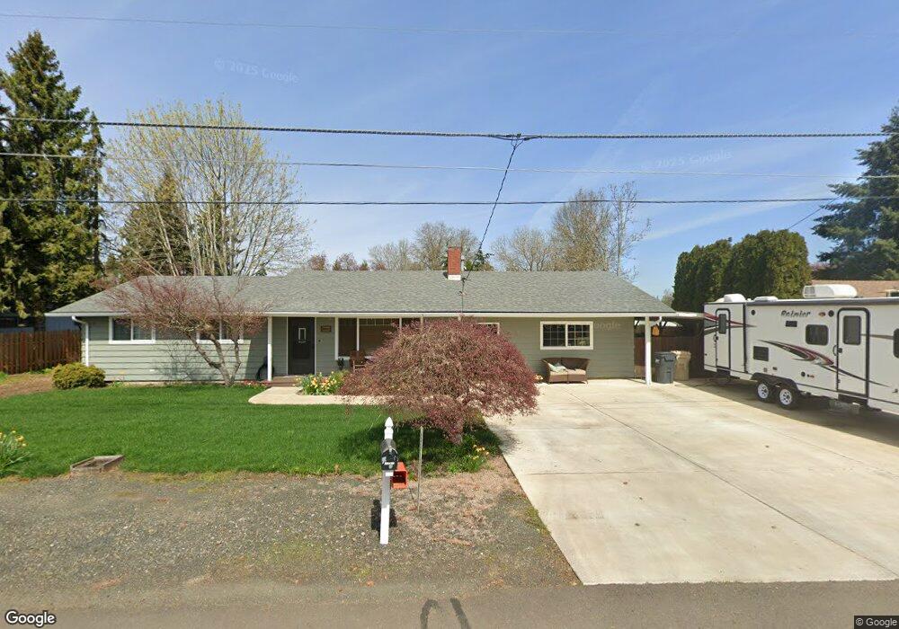
29583 NE Weslinn Dr Corvallis, OR 97333
Estimated Value: $508,464 - $572,000
3
Beds
2
Baths
1,792
Sq Ft
$301/Sq Ft
Est. Value
About This Home
This home is located at 29583 NE Weslinn Dr, Corvallis, OR 97333 and is currently estimated at $540,232, approximately $301 per square foot. 29583 NE Weslinn Dr is a home located in Linn County with nearby schools including Garfield Elementary School, Linus Pauling Middle School, and Corvallis High School.
Ownership History
Date
Name
Owned For
Owner Type
Purchase Details
Closed on
Jul 27, 2012
Sold by
Strader Gary A and Strader Cindy
Bought by
Holden Brandon J and Holden Lacy B
Current Estimated Value
Home Financials for this Owner
Home Financials are based on the most recent Mortgage that was taken out on this home.
Original Mortgage
$214,285
Outstanding Balance
$148,307
Interest Rate
3.65%
Mortgage Type
New Conventional
Estimated Equity
$391,925
Purchase Details
Closed on
Oct 15, 2004
Sold by
Strader Gary A and Hand Cindy
Bought by
Strader Gary A and Strader Cindy
Home Financials for this Owner
Home Financials are based on the most recent Mortgage that was taken out on this home.
Original Mortgage
$20,000
Interest Rate
5.82%
Mortgage Type
Credit Line Revolving
Create a Home Valuation Report for This Property
The Home Valuation Report is an in-depth analysis detailing your home's value as well as a comparison with similar homes in the area
Home Values in the Area
Average Home Value in this Area
Purchase History
| Date | Buyer | Sale Price | Title Company |
|---|---|---|---|
| Holden Brandon J | $210,000 | First American Title | |
| Strader Gary A | -- | Lawyers Title Ins |
Source: Public Records
Mortgage History
| Date | Status | Borrower | Loan Amount |
|---|---|---|---|
| Open | Holden Brandon J | $214,285 | |
| Previous Owner | Strader Gary A | $20,000 |
Source: Public Records
Tax History Compared to Growth
Tax History
| Year | Tax Paid | Tax Assessment Tax Assessment Total Assessment is a certain percentage of the fair market value that is determined by local assessors to be the total taxable value of land and additions on the property. | Land | Improvement |
|---|---|---|---|---|
| 2024 | $4,167 | $270,750 | -- | -- |
| 2023 | $4,045 | $262,870 | $0 | $0 |
| 2022 | $3,927 | $255,220 | $0 | $0 |
| 2021 | $3,756 | $247,790 | $0 | $0 |
| 2020 | $3,643 | $240,580 | $0 | $0 |
| 2019 | $3,541 | $233,580 | $0 | $0 |
| 2018 | $3,376 | $226,780 | $0 | $0 |
| 2017 | $2,944 | $220,180 | $0 | $0 |
| 2016 | $2,831 | $213,770 | $0 | $0 |
| 2015 | $2,684 | $200,570 | $0 | $0 |
| 2014 | $2,853 | $211,980 | $0 | $0 |
Source: Public Records
Map
Nearby Homes
- 29509 NE Pheasant Ave
- 33844 SE White Oak Rd
- 34123 Cushman Rd Unit 1400
- 34123 Cushman Rd Unit 1300
- 34123 Cushman Rd Unit 3 Lots
- 34123 Cushman Rd Unit 1200
- (Near 34123) Rd
- (Near 34123) Cushman (Lot 1400) Rd
- (Near 34123) Cushman (Lot 1300) Rd
- (Near 34123) Cushman (Lot 1200) Rd
- 33321 SE Peoria Rd
- 33125 SE White Oak Rd Unit 5 Rd
- 33125 SE White Oak Rd Unit 21 Rd
- 33125 SE White Oak Rd Unit 17
- 33125 SE White Oak (#1) Rd Unit 1
- 33125 SE White Oak (#56) Rd Unit 56
- 2635 NE Seavy Place
- Lot 601 NE Circle Blvd
- 800 (next to) NE Circle Bl
- 651 NE Sherwood Way
- 29589 NE Weslinn Dr
- 29567 NE Weslinn Dr
- 29580 NE Pheasant Ave
- 29597 NE Weslinn Dr
- 29561 NE Weslinn Dr
- 29590 NE Pheasant Ave
- 29568 NE Pheasant Ave
- 29582 NE Weslinn Dr
- 29572 NE Weslinn Dr
- 29592 NE Weslinn Dr
- 29606 NE Pheasant Ave
- 29562 NE Pheasant Ave
- 29615 NE Weslinn Dr
- 29562 NE Weslinn Dr
- 29598 NE Weslinn Dr
- 29616 NE Pheasant Ave
- 29547 NE Weslinn Dr
- 29552 NE Weslinn Dr
- 29541 NE Weslinn Dr
- 29614 NE Weslinn Dr