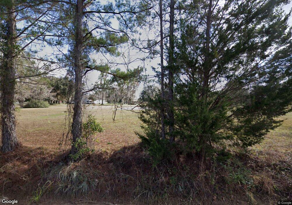
29585 Highway 121 Folkston, GA 31537
Estimated Value: $279,000 - $438,000
3
Beds
1
Bath
2,040
Sq Ft
$176/Sq Ft
Est. Value
About This Home
This home is located at 29585 Highway 121, Folkston, GA 31537 and is currently estimated at $358,819, approximately $175 per square foot. 29585 Highway 121 is a home with nearby schools including Charlton County High School.
Ownership History
Date
Name
Owned For
Owner Type
Purchase Details
Closed on
Mar 7, 2011
Sold by
Roberson Daryle R
Bought by
Roberson Traci J
Current Estimated Value
Purchase Details
Closed on
Feb 25, 2005
Sold by
Rhoden Berry F
Bought by
Roberson Daryle R and Roberson Traci J
Home Financials for this Owner
Home Financials are based on the most recent Mortgage that was taken out on this home.
Original Mortgage
$166,500
Outstanding Balance
$84,355
Interest Rate
5.6%
Mortgage Type
New Conventional
Estimated Equity
$274,464
Purchase Details
Closed on
Jun 13, 1997
Bought by
Rhoden Berry F
Create a Home Valuation Report for This Property
The Home Valuation Report is an in-depth analysis detailing your home's value as well as a comparison with similar homes in the area
Home Values in the Area
Average Home Value in this Area
Purchase History
| Date | Buyer | Sale Price | Title Company |
|---|---|---|---|
| Roberson Traci J | -- | -- | |
| Roberson Daryle R | $185,000 | -- | |
| Rhoden Berry F | -- | -- |
Source: Public Records
Mortgage History
| Date | Status | Borrower | Loan Amount |
|---|---|---|---|
| Open | Roberson Daryle R | $166,500 |
Source: Public Records
Tax History Compared to Growth
Tax History
| Year | Tax Paid | Tax Assessment Tax Assessment Total Assessment is a certain percentage of the fair market value that is determined by local assessors to be the total taxable value of land and additions on the property. | Land | Improvement |
|---|---|---|---|---|
| 2024 | $2,391 | $91,664 | $34,480 | $57,184 |
| 2023 | $1,990 | $72,224 | $22,240 | $49,984 |
| 2022 | $1,721 | $62,704 | $21,400 | $41,304 |
| 2021 | $1,687 | $49,380 | $17,320 | $32,060 |
| 2020 | $2,399 | $67,340 | $17,320 | $50,020 |
| 2019 | $2,538 | $67,340 | $17,320 | $50,020 |
| 2018 | $2,559 | $67,100 | $17,080 | $50,020 |
| 2017 | $2,388 | $65,500 | $17,080 | $48,420 |
| 2016 | $2,012 | $65,500 | $17,080 | $48,420 |
| 2015 | -- | $65,500 | $17,080 | $48,420 |
| 2014 | -- | $65,500 | $17,080 | $48,420 |
| 2013 | -- | $65,500 | $17,080 | $48,420 |
Source: Public Records
Map
Nearby Homes
- 0 Doc Rider Rd Unit 22152137
- 0 Doc Rider Rd Unit 22150861
- 0 Doc Rider Rd Unit 21994301
- 3047 John Burch Rd
- 103 Doc Rider Rd
- 478 Tracys Ferry Rd
- 551 Tracys Ferry Rd
- 265 Traders Hill Rd
- 181 Traders Hill Rd
- 0 Knight Rd 33-4n-23-1637-0002-0000
- 0 Broken Arrow Rd Unit 2061426
- 1000 Quail Ridge Rd
- 0 Ralph Davis Rd
- 989 Ralph Davis Rd
- 941 Ralph Davis Rd
- 3204 Second St S
- 181040 Autumn Rd
- 17187 Liller Rd
- 17031 Liller Rd
- 272344 Conner Nelson Rd
