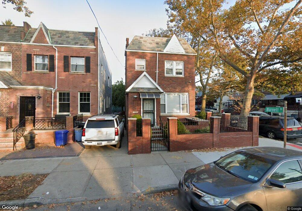
2959 Quentin Rd Brooklyn, NY 11229
Marine Park NeighborhoodEstimated Value: $1,033,000 - $1,477,000
Studio
--
Bath
2,000
Sq Ft
$614/Sq Ft
Est. Value
About This Home
This home is located at 2959 Quentin Rd, Brooklyn, NY 11229 and is currently estimated at $1,228,843, approximately $614 per square foot. 2959 Quentin Rd is a home located in Kings County with nearby schools including PS 222 Katherine R Snyder, J.H.S. 278 Marine Park, and James Madison High School.
Ownership History
Date
Name
Owned For
Owner Type
Purchase Details
Closed on
Aug 12, 2013
Sold by
Estate Of Norma Wolf and Lawrence Teresa
Bought by
Malamud Dmitriy and Malamud Natalya
Current Estimated Value
Home Financials for this Owner
Home Financials are based on the most recent Mortgage that was taken out on this home.
Original Mortgage
$408,000
Outstanding Balance
$304,862
Interest Rate
4.51%
Estimated Equity
$923,981
Create a Home Valuation Report for This Property
The Home Valuation Report is an in-depth analysis detailing your home's value as well as a comparison with similar homes in the area
Home Values in the Area
Average Home Value in this Area
Purchase History
| Date | Buyer | Sale Price | Title Company |
|---|---|---|---|
| Malamud Dmitriy | $760,000 | -- | |
| Malamud Dmitriy | $760,000 | -- |
Source: Public Records
Mortgage History
| Date | Status | Borrower | Loan Amount |
|---|---|---|---|
| Open | Malamud Dmitriy | $408,000 | |
| Closed | Malamud Dmitriy | $408,000 | |
| Previous Owner | Malamud Dmitriy | $200,000 |
Source: Public Records
Tax History
| Year | Tax Paid | Tax Assessment Tax Assessment Total Assessment is a certain percentage of the fair market value that is determined by local assessors to be the total taxable value of land and additions on the property. | Land | Improvement |
|---|---|---|---|---|
| 2025 | $9,436 | $50,940 | $9,000 | $41,940 |
| 2024 | $9,436 | $59,940 | $9,000 | $50,940 |
| 2023 | $9,436 | $67,320 | $9,000 | $58,320 |
| 2022 | $9,427 | $63,480 | $9,000 | $54,480 |
| 2021 | $8,870 | $49,740 | $9,000 | $40,740 |
| 2020 | $8,440 | $57,720 | $9,000 | $48,720 |
| 2019 | $7,897 | $57,720 | $9,000 | $48,720 |
| 2018 | $7,886 | $39,148 | $7,024 | $32,124 |
| 2017 | $7,586 | $38,683 | $6,739 | $31,944 |
| 2016 | $6,986 | $36,494 | $7,677 | $28,817 |
| 2015 | $4,182 | $34,579 | $8,555 | $26,024 |
Source: Public Records
Map
Nearby Homes
- 1664 Madison Place
- 2988 Nostrand Ave
- 2991 Quentin Rd
- 1747 Stuart St
- 1659 Madison Place
- 1721 E 29th St
- 2952 Avenue P
- 1715 Marine Pkwy
- 1702 E 28th St
- 1746 Gerritsen Ave
- 2922 Nostrand Ave Unit 6A
- 1802 Stuart St
- 1579 E 28th St
- 1551 E 29th St
- 1746 E 28th St
- 3112 Quentin Rd
- 1817 Madison Place
- 2881 Nostrand Ave Unit 1C
- 1837 Burnett St
- 1663 E 32nd St
- 2955 Quentin Rd
- 2953 Quentin Rd
- 2951 Quentin Rd
- 1656 Burnett St
- 2949 Quentin Rd
- 1652 Burnett St
- 1661 Burnett St
- 1663 Burnett St
- 1659 Burnett St
- 2945 Quentin Rd
- 1667 Burnett St
- 1657 Burnett St
- 1648 Burnett St
- 2943 Quentin Rd
- 1655 Burnett St
- 1651 Burnett St
- 2939 Quentin Rd
- 2971 Quentin Rd
- 1644 Burnett St
- 2960 Quentin Rd
Your Personal Tour Guide
Ask me questions while you tour the home.