Estimated Value: $204,450 - $215,000
3
Beds
2
Baths
1,244
Sq Ft
$169/Sq Ft
Est. Value
About This Home
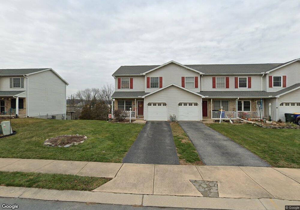
This home is located at 2959 Robin Rd, York, PA 17404 and is currently estimated at $210,363, approximately $169 per square foot. 2959 Robin Rd is a home located in York County with nearby schools including West York Area High School, Lincoln Charter School, and Logos Academy.
Ownership History
Date
Name
Owned For
Owner Type
Purchase Details
Closed on
Aug 17, 2001
Sold by
Grove George N and Grove Gladys M
Bought by
Rankin Sherry L
Current Estimated Value
Home Financials for this Owner
Home Financials are based on the most recent Mortgage that was taken out on this home.
Original Mortgage
$97,772
Outstanding Balance
$38,167
Interest Rate
7.16%
Mortgage Type
FHA
Estimated Equity
$172,196
Purchase Details
Closed on
Jan 13, 2000
Sold by
Kauffman Barbara A
Bought by
Hud
Create a Home Valuation Report for This Property
The Home Valuation Report is an in-depth analysis detailing your home's value as well as a comparison with similar homes in the area
Home Values in the Area
Average Home Value in this Area
Purchase History
| Date | Buyer | Sale Price | Title Company |
|---|---|---|---|
| Rankin Sherry L | $99,900 | -- | |
| Hud | $1,348 | -- |
Source: Public Records
Mortgage History
| Date | Status | Borrower | Loan Amount |
|---|---|---|---|
| Open | Rankin Sherry L | $97,772 | |
| Closed | Rankin Sherry L | $5,000 |
Source: Public Records
Tax History
| Year | Tax Paid | Tax Assessment Tax Assessment Total Assessment is a certain percentage of the fair market value that is determined by local assessors to be the total taxable value of land and additions on the property. | Land | Improvement |
|---|---|---|---|---|
| 2025 | $3,286 | $97,430 | $25,870 | $71,560 |
| 2024 | $3,203 | $97,430 | $25,870 | $71,560 |
| 2023 | $3,203 | $97,430 | $25,870 | $71,560 |
| 2022 | $3,203 | $97,430 | $25,870 | $71,560 |
| 2021 | $3,105 | $97,430 | $25,870 | $71,560 |
| 2020 | $3,105 | $97,430 | $25,870 | $71,560 |
| 2019 | $3,047 | $97,430 | $25,870 | $71,560 |
| 2018 | $3,023 | $97,430 | $25,870 | $71,560 |
| 2017 | $2,930 | $97,430 | $25,870 | $71,560 |
| 2016 | $0 | $97,430 | $25,870 | $71,560 |
| 2015 | -- | $97,430 | $25,870 | $71,560 |
| 2014 | -- | $97,430 | $25,870 | $71,560 |
Source: Public Records
Map
Nearby Homes
- 91 Hull Dr
- 3140 Lark Dr
- 160 E Berlin Rd
- 270 Canary Cir
- 106 N Williams St
- 9 Berlin Ct
- 377 Weldon Dr Unit 377
- 413 Weldon Dr
- 423 Weldon Dr Unit 423
- 301 N Forrest St
- 401 Berwick St
- 1825 W Philadelphia St
- 2035 Leonard St
- 2180 Hess Rd
- 855 Old Taxville Rd
- 39 S Sumner St
- 1806 Filbert St
- 1960 Bannister St
- 1745 Filbert Rear St Unit REAR
- 2250 Marion St
Your Personal Tour Guide
Ask me questions while you tour the home.