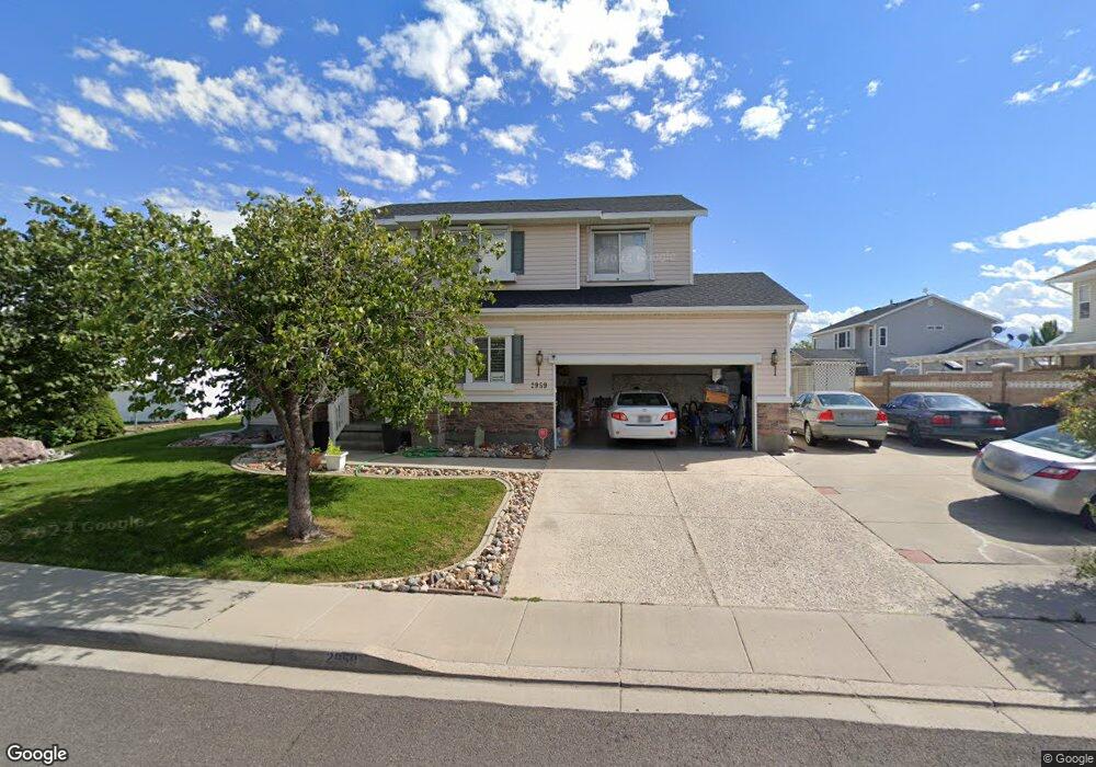
2959 Shepard Ln Salt Lake City, UT 84120
Hunter NeighborhoodEstimated Value: $537,772 - $586,000
3
Beds
2
Baths
2,047
Sq Ft
$274/Sq Ft
Est. Value
About This Home
This home is located at 2959 Shepard Ln, Salt Lake City, UT 84120 and is currently estimated at $561,193, approximately $274 per square foot. 2959 Shepard Ln is a home located in Salt Lake County with nearby schools including Valley Crest School, West Lake Junior High School, and Granger High School.
Ownership History
Date
Name
Owned For
Owner Type
Purchase Details
Closed on
Mar 25, 1997
Sold by
Ryland Group Inc
Bought by
Do Phong and Do Yen
Current Estimated Value
Home Financials for this Owner
Home Financials are based on the most recent Mortgage that was taken out on this home.
Original Mortgage
$117,950
Outstanding Balance
$14,164
Interest Rate
7.63%
Mortgage Type
Purchase Money Mortgage
Estimated Equity
$547,029
Create a Home Valuation Report for This Property
The Home Valuation Report is an in-depth analysis detailing your home's value as well as a comparison with similar homes in the area
Home Values in the Area
Average Home Value in this Area
Purchase History
| Date | Buyer | Sale Price | Title Company |
|---|---|---|---|
| Do Phong | -- | -- |
Source: Public Records
Mortgage History
| Date | Status | Borrower | Loan Amount |
|---|---|---|---|
| Open | Do Phong | $117,950 |
Source: Public Records
Tax History Compared to Growth
Tax History
| Year | Tax Paid | Tax Assessment Tax Assessment Total Assessment is a certain percentage of the fair market value that is determined by local assessors to be the total taxable value of land and additions on the property. | Land | Improvement |
|---|---|---|---|---|
| 2025 | -- | $551,500 | $125,700 | $425,800 |
| 2024 | -- | $513,900 | $117,400 | $396,500 |
| 2023 | $3,399 | $496,700 | $112,900 | $383,800 |
| 2022 | $3,362 | $492,700 | $110,700 | $382,000 |
| 2021 | $3,046 | $401,200 | $85,100 | $316,100 |
| 2020 | $2,806 | $348,600 | $77,600 | $271,000 |
| 2019 | $2,774 | $332,500 | $73,300 | $259,200 |
| 2018 | $2,633 | $304,800 | $73,300 | $231,500 |
| 2017 | $2,394 | $281,800 | $73,300 | $208,500 |
| 2016 | $2,246 | $264,900 | $73,300 | $191,600 |
| 2015 | $1,835 | $206,000 | $80,800 | $125,200 |
| 2014 | $1,748 | $192,300 | $76,600 | $115,700 |
Source: Public Records
Map
Nearby Homes
- 2947 S Calypso St
- 3115 S 4880 W
- 4697 W Woodcutter Ln
- 3017 Jamboree St Unit 12
- 3043 Arthurs Ct
- 4678 W 3100 S
- 2933 S Roundtable Rd
- 3217 S 4840 W
- 3174 S Park Commons Way
- 4863 W 3280 S
- 3258 S 4665 W
- 2809 S Brixham Way
- 3330 S Squirewood Dr
- 2808 Brixham Way W
- 4478 W Fassio Cir
- 3214 S 4500 W
- 3057 S Finsbury Ln
- 3083 S Finsbury Ln
- 2897 S Arfons Unit 1
- 6081 S Parkway Ave #Moffat
- 2949 Shepard Ln
- 2960 Brushwood Bay
- 2960 S Brushwood Bay
- 4854 Wakepoint Dr
- 2945 Shepard Ln
- 2945 S Shepard Ln
- 4838 W Wake Point Dr
- 2974 Brushwood Bay
- 2966 S Shepard Ln
- 2966 Shepard Ln
- 4872 W Farmer Cir
- 4872 Farmer Cir
- 2954 S Brushwood Bay
- 2954 Brushwood Bay
- 7100 W 2980 S
- 2931 Shepard Ln
- 2978 S Shepard Ln
- 2978 Shepard Ln
- 4837 W 2920 S
- 4886 Farmer Cir