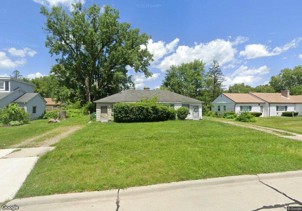
29594 Cambridge St Unit 29596 Garden City, MI 48135
Estimated Value: $143,083 - $219,000
2
Beds
2
Baths
1,056
Sq Ft
$172/Sq Ft
Est. Value
About This Home
This home is located at 29594 Cambridge St Unit 29596, Garden City, MI 48135 and is currently estimated at $182,021, approximately $172 per square foot. 29594 Cambridge St Unit 29596 is a home located in Wayne County with nearby schools including Douglas Elementary 3-4 Campus, Memorial Elementary 1-2 Campus, and Garden City Middle School.
Ownership History
Date
Name
Owned For
Owner Type
Purchase Details
Closed on
Feb 27, 2014
Sold by
Rose Land & Finance Corp
Bought by
Bodrov Valeriy
Current Estimated Value
Purchase Details
Closed on
Oct 16, 2008
Sold by
Rose Land & Finance Corp
Bought by
Bodrov Valeriy
Purchase Details
Closed on
Oct 1, 2008
Sold by
Rose Acceptance Inc
Bought by
Rose Land & Finance Corp
Purchase Details
Closed on
Sep 13, 2006
Sold by
Schatz Vernon A and Schatz Jacqueline E
Bought by
Rose Acceptance Inc
Create a Home Valuation Report for This Property
The Home Valuation Report is an in-depth analysis detailing your home's value as well as a comparison with similar homes in the area
Home Values in the Area
Average Home Value in this Area
Purchase History
| Date | Buyer | Sale Price | Title Company |
|---|---|---|---|
| Bodrov Valeriy | $42,000 | None Available | |
| Bodrov Valeriy | -- | Metropolitan | |
| Rose Land & Finance Corp | -- | Metropolitan | |
| Rose Acceptance Inc | $413,426 | None Available |
Source: Public Records
Tax History Compared to Growth
Tax History
| Year | Tax Paid | Tax Assessment Tax Assessment Total Assessment is a certain percentage of the fair market value that is determined by local assessors to be the total taxable value of land and additions on the property. | Land | Improvement |
|---|---|---|---|---|
| 2025 | $2,572 | $53,300 | $0 | $0 |
| 2024 | $2,572 | $52,300 | $0 | $0 |
| 2023 | $2,365 | $71,000 | $0 | $0 |
| 2022 | $2,901 | $63,100 | $0 | $0 |
| 2021 | $2,835 | $59,800 | $0 | $0 |
| 2020 | $2,857 | $57,300 | $0 | $0 |
| 2019 | $2,174 | $53,000 | $0 | $0 |
| 2018 | $1,978 | $45,200 | $0 | $0 |
| 2017 | $1,069 | $42,800 | $0 | $0 |
| 2016 | $2,463 | $39,100 | $0 | $0 |
| 2015 | $3,068 | $34,000 | $0 | $0 |
| 2013 | $2,990 | $30,000 | $0 | $0 |
| 2012 | $3,368 | $31,700 | $13,700 | $18,000 |
Source: Public Records
Map
Nearby Homes
- 29801 Bridge St
- 29498 Bridge St
- 6747 Burnly St
- 6649 Burnly St
- 6705 Whitby St
- 29878 Malvern St
- 28912 Cambridge St
- 28627 Bridge St
- 6727 Hawthorne St
- 7505 Donna St
- 28843 Balmoral St
- 29825 Dawson Ave
- 29825 Dawson St
- 7637 Melvin Ave
- 28832 Block St
- 28614 Block St
- 28538 Block St
- 5689 Brandt St
- 29256 Brody Ave
- 6557 Huntleigh St
- 29594 Cambridge St
- 29624 Cambridge St
- 29583 Bridge St
- 29563 Bridge St
- 29540 Cambridge St
- 29650 Cambridge St
- 29595 Cambridge St
- 29547 Bridge St
- 29621 Bridge St
- 29647 Bridge St
- 29627 Cambridge St
- 29551 Cambridge St
- 29596 Cambridge St
- 29647 Cambridge St
- 29543 Cambridge St
- 29522 Cambridge St
- 29668 Cambridge St
- 29521 Bridge St
- 29645 Bridge St
- 29529 Cambridge St